

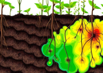
New Risk Map Reveals How Heavy Metals Strike Plant Roots at Different Depths
Researchers at IIT Roorkee have developed a depth-specific source-pathway-receptor framework that quantifies heavy metal ecological risk separately for shallow- and ...
Researchers at IIT Roorkee have developed a depth-specific source-pathway-receptor framework that quantifies heavy metal ecological risk separately for shallow- and ...

Chinese researchers have built an autonomous greenhouse robot that navigates seedling aisles with LiDAR, verifies leaf coverage in real time, ...
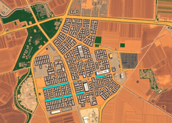
A twenty-year Landsat analysis of Adama, Ethiopia, shows built-up land surging 43 percent while wetlands vanished and rising minimum surface ...

A new study in the Brazilian Cerrado shows that the phenological stage at which satellite images are captured can be ...

Researchers have built and validated a Fire Susceptibility Index for Morocco's Lower Ziz Valley oases, showing that 42.7 percent of ...
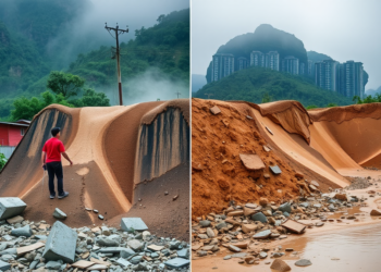
A comparative study of more than 33,000 typhoon-triggered shallow landslides reveals that semi-humid northern China and humid southern China fail ...

Researchers in Japan combined Sentinel-2 satellite imagery with mobile phone location data across 440 Osaka railway station areas, finding that ...
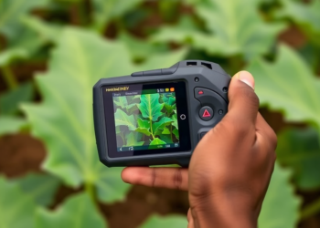
Researchers in Nigeria used an affordable handheld NDVI sensor to predict cassava yield with high accuracy at mid-season, opening a ...

A seven-year satellite and air-monitoring study of two São Paulo metropolitan regions finds that greener vegetation is generally associated with ...
A feature-optimized machine learning framework using MODIS satellite data achieves highly accurate estimation of crop vegetation water stress in Egypt's ...


Embark on a thrilling journey of discovery with Scienmag.com—your ultimate source for cutting-edge breakthroughs. Immerse yourself in a world where curiosity knows no limits and tomorrow’s possibilities become today’s reality!