


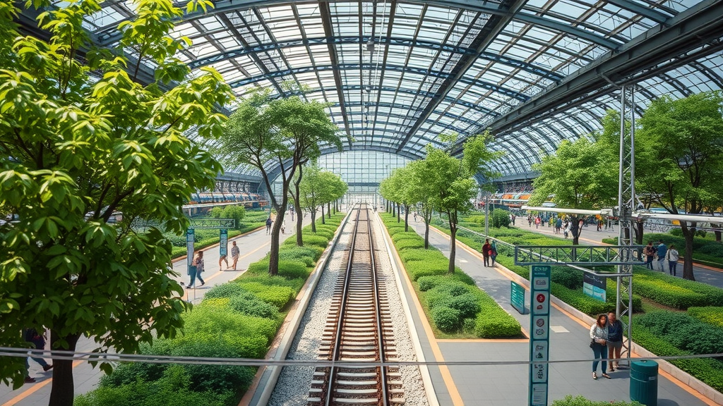
Urban planners have long suspected that parks and trees do more than beautify a city, but proving that greenery actually pulls people into a place has been surprisingly difficult. Now a team of Japanese researchers has combined satellite imagery with anonymized mobile phone location data to show that the amount of vegetation around railway stations measurably increases the number of people who choose to linger there. The study, conducted across 440 railway station catchment areas in Osaka Prefecture, Japan, offers some of the most granular evidence yet that urban greenery acts as an independent magnet for human activity, even after accounting for the pull of shops, offices, and transport links.
The research, led by Ryota Ideno and colleagues at Tokyo University of Science, addresses a pressing problem for developed nations: while much of the world urbanizes rapidly, many mature cities are shrinking. Population decline and de-densification raise fears of economic deterioration, declining safety as vacant land and abandoned houses accumulate, and the fraying of local communities. Against this backdrop, green spaces have attracted attention not merely as recreational amenities but as strategic urban assets. They promote physical activity, reduce stress, provide venues for social interaction, and can stabilize surrounding land values while restoring degraded landscapes. The question the researchers posed was deceptively simple: does more green cover around a station actually translate into more people staying there?
Answering it required measuring both sides of the equation objectively. On the greenery side, the team turned to the European Space Agency’s Sentinel-2 satellite, whose multispectral sensor captures light from the visible to the shortwave infrared. Vegetation betrays itself spectrally because healthy leaves reflect near-infrared light strongly while absorbing red light. The normalized difference vegetation index, or NDVI, exploits this contrast by computing the difference between near-infrared and red reflectance divided by their sum, yielding a value that rises with vegetation density. The researchers calculated NDVI for every pixel within an 800-meter radius of each station, a distance corresponding to roughly a ten-minute walk and the standard unit of Japan’s transit-oriented planning policy.
Converting NDVI values into a clean vegetation map required choosing a threshold, a decision with real consequences. Set the cutoff too low, and bare soil, paved surfaces, or even water bodies get misclassified as green. Set it too high, and sparse urban vegetation such as lawns and scattered street trees slips through undetected. The team tested five thresholds, from 0.20 to 0.40, against ground-truth maps created by visually interpreting high-resolution aerial imagery for 20 randomly selected station areas spanning dense downtown cores, suburbs, and waterfront districts. They evaluated each cutoff using precision, recall, and the F-measure, the harmonic mean of the two. Precision climbed as the threshold rose while recall fell, tracing the classic trade-off between false positives and false negatives. The F-measure peaked at 0.721 with a threshold of 0.30, which the researchers adopted for all subsequent analysis, a value consistent with vegetation classification studies elsewhere.
With vegetation pixels identified, the team computed the green coverage ratio, the proportion of each catchment area classified as green. Across the 440 station areas, this ratio ranged from a mere 0.2 percent to a lush 42.1 percent, averaging 10.1 percent, a spread that captures Osaka’s full spectrum from concrete-dominated commercial hubs to leafy residential districts. Because the goal was to measure urban greenery specifically, the analysis focused on densely built-up areas identified through national land use mesh data, allowing the satellite approach to capture fine-scale vegetation, such as street trees and small plantings, that conventional administrative green space datasets routinely miss.
Measuring human presence required a different kind of data entirely. The researchers drew on the KDDI Location Analyzer, a platform that anonymizes and statistically processes mobile phone base station logs from one of Japan’s largest carriers. Rather than counting people simply passing through, the study defined the staying population as the average daily number of non-resident visitors who remained within a station catchment area for at least 15 minutes during a one-week window in early October 2018. The 15-minute minimum filters out transient pass-through movements such as simple transfers, isolating purposeful activity like shopping, dining, and socializing that constitutes genuine urban vibrancy. The week was deliberately chosen to avoid national holidays and major events, capturing a representative baseline of station-area life.
To link greenery to footfall without being fooled by confounding factors, the team built negative binomial regression models, a statistical framework suited to count data whose variance exceeds its mean, as visitor counts notoriously do. The models controlled for an array of urban characteristics, including resident population, commercial zoning, the density of commercial facilities, and the number of bus stops, with multicollinearity checked through variance inflation factors, all of which fell safely below the conventional threshold of concern. The result was striking: the green coverage ratio carried a significant positive coefficient, indicating that greenery attracts visitors independently of commercial function and accessibility. Quantitatively, a one percentage-point increase in green coverage was associated with roughly a 1.34 percent increase in the staying population, equivalent to adding about 20,000 square meters of urban green space to lift visiting numbers by approximately 1.35 percent.
The subgroup analyses added a layer of nuance with implications for aging societies. Splitting the data by gender and by six age cohorts, from people in their twenties to those in their seventies and older, the researchers found that the effect of greenery remained remarkably stable across generations, with coefficients only slightly larger for younger groups. Commercial zones, by contrast, told a different story: they exerted strong, highly significant attraction on younger demographics, but their influence faded noticeably among older visitors. Although statistical significance for the green coverage variable weakened in the subdivided models, a likely artifact of reduced statistical power in smaller samples, the consistent direction and magnitude of the estimates suggest that the benefits of greenery are experienced broadly across age groups, while commercial vibrancy caters disproportionately to the young.
The authors are candid about the limitations of their approach. The green coverage ratio is a top-down, area-based measure that says nothing about whether the vegetation is publicly accessible, well maintained, or pleasant to sit beneath; perceived greenery at the eye level of a pedestrian may matter as much as the raw quantity of leaves visible from orbit. The cross-sectional design also cannot establish causality, and a single week of autumn mobility data leaves open questions about seasonal variation and long-term trends. Future work, the researchers suggest, could fuse satellite data with street-level imagery and deep learning to quantify perceived greenness, apply spatial econometric models to capture spillover effects between neighboring stations, and exploit before-and-after comparisons around new park developments to test causal claims.
Even with those caveats, the study’s central message lands with force. As railway stations evolve from bare transit nodes into destinations designed to encourage people to stay, green infrastructure emerges as a complementary lever to commercial development, one whose appeal spans generations. For cities contending with shrinking populations, the finding reframes planting trees and preserving vegetation not as cosmetic expenditure but as measurable infrastructure: every additional hectare of green around a station is statistically associated with more people choosing to spend time there. In an era when cities compete for residents, visitors, and vitality, the view from 800 kilometers above suggests that the path to livelier streets may run through the leaves.
Subject of Research: The effect of satellite-measured urban green space on visiting populations around railway stations in Osaka, Japan
Article Title: Effects of urban green spaces on visiting population of railway station areas
Article References: Effects of urban green spaces on visiting population of railway station areas. (n.d.). https://doi.org/10.1007/s44327-026-00354-5
Image Credits: AI Generated
DOI: 10.1007/s44327-026-00354-5
Keywords: urban green space, railway stations, Sentinel-2, NDVI, green coverage ratio, mobile phone location data, urban vibrancy, staying population, negative binomial regression, Osaka, transit-oriented development, remote sensing
Cite Scienmag News
Courtney Benton. (September 21, 2026). Satellite Data Reveal Green Spaces Around Train Stations Draw More Visitors. Scienmag. https://scienmag.com/satellite-data-reveal-green-spaces-around-train-stations-draw-more-visitors/
Courtney Benton. "Satellite Data Reveal Green Spaces Around Train Stations Draw More Visitors." Scienmag, 21 September 2026, https://scienmag.com/satellite-data-reveal-green-spaces-around-train-stations-draw-more-visitors/. Accessed 5 October 2026.
Courtney Benton. "Satellite Data Reveal Green Spaces Around Train Stations Draw More Visitors." Scienmag. September 21, 2026. https://scienmag.com/satellite-data-reveal-green-spaces-around-train-stations-draw-more-visitors/


