

Triple-Lidar Campaign Reveals How Coastal Turbulence Shifts With the Weather
A five-month campaign in Bremerhaven combined three synchronized short-range lidars with mast anemometry to deliver the most detailed picture yet ...
A five-month campaign in Bremerhaven combined three synchronized short-range lidars with mast anemometry to deliver the most detailed picture yet ...
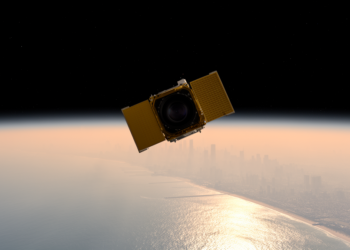
During the 2023 STAQS campaign, NASA's TEMPO satellite, aircraft, and lidar observations revealed how sea breezes, residual pollution layers, and ...
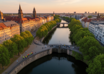
By combining high-resolution LiDAR terrain data with maps spanning the sixteenth to twentieth centuries, researchers have shown that Leipzig's Elster–Pleiße ...
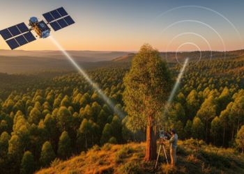
By fusing spaceborne LiDAR, radar and optical satellite data with field plots, researchers have produced high-resolution canopy height and biomass ...
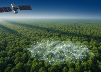
A systematic review of 147 studies finds that accurate forest carbon accounting depends on integrating field measurements, remote sensing, and ...
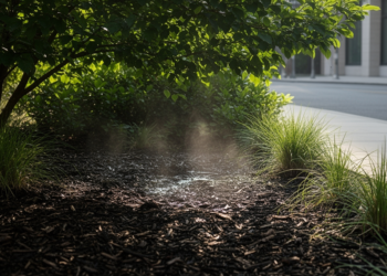
A detailed field study in Philadelphia shows that conventional evapotranspiration models often misestimate water loss from bioretention basins, but simple ...

Researchers in Chongqing have built a lightweight camera-only 3D detection framework that adapts its processing to scene complexity, fuses information ...
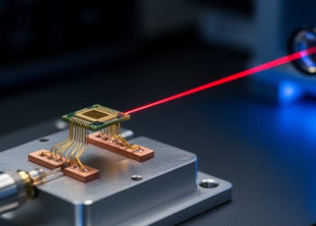
EPFL researchers have engineered a silicon nitride photonic integrated laser that remains locked in an ultralow-noise, sub-10-hertz-linewidth state at every ...

Three seasons of hourly laser scanning in the Swiss Alps reveal that suncup hollows and impurities together darken melting snow ...
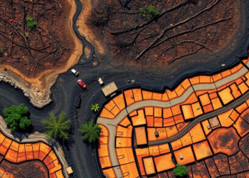
A new evidence map of 72 studies shows that remote sensing reliably tracks surface-expressed forest soil damage from wildfire and ...


Embark on a thrilling journey of discovery with Scienmag.com—your ultimate source for cutting-edge breakthroughs. Immerse yourself in a world where curiosity knows no limits and tomorrow’s possibilities become today’s reality!