


Machine learning maps landslide danger along a Himalayan highway corridor
Machine learning models far outperformed expert-weighted AHP in mapping landslide susceptibility along a 123 km Himalayan highway corridor in Arunachal ...
Machine learning models far outperformed expert-weighted AHP in mapping landslide susceptibility along a 123 km Himalayan highway corridor in Arunachal ...

A Wayanad study comparing four models mapped Sultan Bathery, Vythiri and Mananthavady among highly susceptible areas, with VIKOR achieving the ...
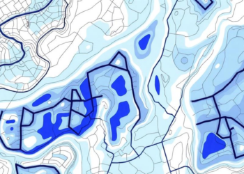
A machine learning study in Türkiye's Taslidere Catchment found that polygon-based landslide inventories improved susceptibility model performance far more than ...

A GIS-based frequency-ratio model using 14 environmental and hydrometeorological factors achieved an AUC of 0.876 for landslide susceptibility in Pithoragarh, ...
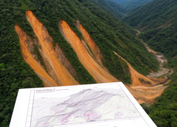
A study of 1,518 landslides in Wanzhou found that machine-learning susceptibility maps with strong within-period accuracy often transferred less reliably ...
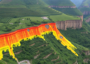
A new study in Kerala's Western Ghats shows a Random Forest machine learning model, validated with an AUC of 0.99, ...

A new GIS-based study maps where floods, landslides, and urban heat overlap in Dessie City, Ethiopia, and identifies the areas ...

Landslides rarely announce themselves, but in the red-bed basins of southern China they have been quietly rewriting the rules of ...
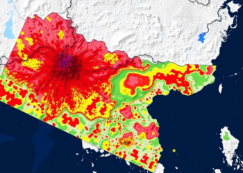
A new machine learning study maps Nepal nationwide flood and landslide susceptibility and identifies thousands of square kilometres of connected ...

A new study combining CMIP6 rainfall projections with deep learning shows that high landslide susceptibility zones in China's Qinling Mountains ...


Embark on a thrilling journey of discovery with Scienmag.com—your ultimate source for cutting-edge breakthroughs. Immerse yourself in a world where curiosity knows no limits and tomorrow’s possibilities become today’s reality!