


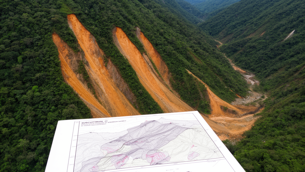
A landslide susceptibility map can perform very well for the period represented by its training data yet become substantially less reliable when applied to later decades. A seven-decade modeling study in China’s Three Gorges Reservoir area found that random forest and extreme gradient boosting models achieved high within-period accuracy but generally lost predictive power as the temporal gap between calibration and validation increased. The results indicate that a map’s temporal applicability is limited and cannot be inferred from excellent performance within the period used to build it.
Ting Xiao and colleagues analyzed a multi-temporal inventory of 1,518 landslides recorded in Wanzhou District, eastern Chongqing, from 1950 to 2020. The records originated from long-term monitoring and field surveys conducted by the Chongqing Wanzhou Institute of Geological Environment Monitoring. Landslide boundaries were redrawn from field investigations, archival photographs and Google Earth imagery.
To examine both changing event patterns and model transferability, the researchers divided the inventory into five periods, designated T1 through T5, and created modeling and prediction cases that compared individual decades with progressively longer historical windows. The study area combines a humid subtropical monsoon climate with extensive environmental transformation. Wanzhou’s central urban area expanded nearly 50-fold between 1928 and 2020, and the district underwent major changes associated with the construction and operation of the Three Gorges Project.
From 1960 to 2020, annual rainfall fluctuated without a clear trend and averaged 1,194.34 millimeters, with 70% falling from May through September. Heavy-rainfall days and annual mean temperature from 1990 to 2020 appeared to trend upward, although those shorter records did not support a robust quantitative trend estimate comparable to that for urban expansion. More than 90% of the inventoried slope failures occurred during rainfall episodes, predominantly within Jurassic sandstone-mudstone interbedded strata, and the authors identified rainfall infiltration as the primary trigger.
They initially selected 18 possible conditioning factors covering topography and geomorphology, geology, hydrology and human impact. Pearson correlation screening removed terrain wetness index and terrain roughness index because both had strong correlations with slope, leaving 16 factors for the susceptibility models. Random forest and extreme gradient boosting were used to produce maps from inventories with different temporal spans, while receiver operating characteristic curves and area under the curve, or AUC, evaluated discrimination.
The modeling procedure explicitly separated performance within a period from prediction in a subsequent period. For each modeling dataset, landslide polygons were divided at random into 70% training and 30% testing subsets, with all grid cells inside an individual polygon assigned to the same subset. The models were then evaluated against landslides from later periods.
Because each inventory subset contained a limited number of events, non-landslide samples were randomly selected in equal numbers and the modeling was repeated 200 times. Susceptibility values at test grid points stabilized after 200 repetitions for both algorithms, which the researchers selected as the final number of runs. Both algorithms showed the same broad temporal pattern.
A random forest trained only on the first inventory period obtained training and test AUC values of 0.94, but its prediction AUC declined to 0.77, 0.65, 0.64 and 0.62 for the second through fifth periods. XGBoost produced training and test values of 0.95 and 0.94, followed by prediction values of 0.74, 0.62, 0.59 and 0.61. Longer calibration windows did not restore that transferability.
Models based on the first two, three or four periods continued to have strong within-period test performance, but their cross-period predictions were generally between about 0.62 and 0.68. A benchmark model focused on the third period, 1990–1999, made the loss of temporal validity more explicit. The map achieved training and test AUC values between 0.854 and 0.886, but its performance deteriorated when tested against subsequent inventories.
Random forest AUC fell to 0.656 for landslides in the following decade and 0.627 when evaluated across the next 20 years; the value for the final decade alone was 0.608. XGBoost declined to 0.651 after 10 years and 0.613 after 20 years, reaching 0.588 for the final decade alone. Validation against earlier periods also performed poorly, indicating that the benchmark was not broadly representative of landslide conditions in those earlier periods either.
The locations classified as most susceptible changed as well. In the earliest period, high-susceptibility areas formed a narrow cluster along the upper Yangtze River, consistent with the high model importance of distance to rivers, elevation and annual precipitation. During the second period, the pattern shifted northeast along the riverbanks.
In the third, the major axis rotated perpendicular to the Yangtze, coinciding with the initial construction phase of the Three Gorges Project. Road construction, hillside excavation, reservoir works and other engineering may have disturbed slopes beyond the main river corridor, although the study did not quantify each activity’s contribution. In the fourth period, the high-susceptibility axis realigned with the river, then migrated northeast toward urban centers in the fifth.
Maps were classified into five susceptibility levels using the Jenks method, and standard deviation ellipses were used to describe the spatial clustering and direction of the highest class. The two machine-learning approaches produced similar ellipse patterns, supporting the consistency of the temporal interpretation. The analysis also examined how individual causal factors were weighted in the random forest models.
Elevation, surface texture, distance to rivers, annual precipitation, geological structure, lithology and land use remained consistently important, but their relative rankings changed among periods. Elevation’s importance rose from approximately 0.3 to 0.4, whereas lithology declined from 0.1 to 0.05 and annual precipitation from 0.25 to 0.1. These shifts in model-derived importance should not be interpreted as direct measurements of how physical controls changed.
Every model used the same static factor layers, so the differences primarily reflect relationships learned from different landslide inventories. For example, a fixed long-term mean annual precipitation layer may not represent the rainfall conditions most relevant during a particular decade. Likewise, the declining importance of lithology does not establish that human disturbance became more influential; it shows only that the fitted models assigned different relative importance to the available variables.
A frequency-ratio analysis also found temporal variation in spatial associations, although values for small spatial classes were sensitive to limited area and modest changes in event counts. Several limitations restrict how far the results can be generalized. A 1:50,000 geological-hazard investigation conducted during 2010–2020 may have improved detection of smaller landslides, contributing to that period’s larger inventory and smaller median event area.
Completeness may therefore differ among periods. High-resolution pre-2000 digital elevation models and earlier land-use layers were also unavailable, preventing fully dynamic modeling across 1950–2020. Random sampling of non-landslide locations introduced uncertainty despite 200 repeated runs, and nearby landslides assigned to training and test sets could still share spatial dependence.
The study therefore evaluates the temporal transferability of static susceptibility models; it does not directly quantify how reservoir impoundment, urbanization or other environmental changes altered landslide probability. The central result is that inventory size alone does not guarantee a more transferable susceptibility map. Extending a training window can add events while also combining periods in which the relationships among conditioning factors and landslides differ.
A narrow window may yield a stronger within-period model, but that advantage can decay quickly when the map is applied to a later period. The Wanzhou analysis supports explicit temporal boundaries for conventional susceptibility maps and periodic reassessment after relevant environmental changes, while also pointing toward future models that incorporate time-dependent information and process-based parameters.
Subject of Research: Temporal transferability of landslide susceptibility models in Wanzhou, China
Article Title: Same area, different timeframes: unveiling the evolution of landslide patterns and their impact on susceptibility maps
Article References: Xiao, T., Segoni, S., Liang, X., Liu, Q., & Jiang, J. (2026). Same area, different timeframes: unveiling the evolution of landslide patterns and their impact on susceptibility maps. Natural Hazards, 122(22), Article 678. https://doi.org/10.1007/s11069-026-08458-2
Image Credits: AI Generated
DOI: 10.1007/s11069-026-08458-2
Keywords: landslide susceptibility, temporal validation, landslide inventory, machine learning, random forest, XGBoost, Three Gorges Reservoir, environmental change, Wanzhou District, hazard mapping, Same, area
Cite Scienmag News
Gavin Prescott. (October 20, 2026). Research report: Same area, different timeframes: unveiling the evolution of landslide patterns and their impact on susceptibility maps. Scienmag. https://scienmag.com/research-report-same-area-different-timeframes-unveiling-the-evolution-of-landslide-patterns-and-their-impact-on-susceptibility-maps/
Gavin Prescott. "Research report: Same area, different timeframes: unveiling the evolution of landslide patterns and their impact on susceptibility maps." Scienmag, 20 October 2026, https://scienmag.com/research-report-same-area-different-timeframes-unveiling-the-evolution-of-landslide-patterns-and-their-impact-on-susceptibility-maps/. Accessed 20 October 2026.
Gavin Prescott. "Research report: Same area, different timeframes: unveiling the evolution of landslide patterns and their impact on susceptibility maps." Scienmag. October 20, 2026. https://scienmag.com/research-report-same-area-different-timeframes-unveiling-the-evolution-of-landslide-patterns-and-their-impact-on-susceptibility-maps/


