


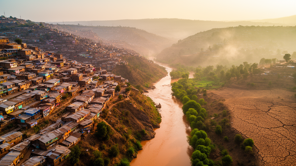
In the fast-growing Ethiopian city of Dessie, three climate hazards are quietly stacking on top of one another: flash floods racing down steep slopes, landslides triggered by saturated hillsides, and pockets of urban heat radiating from dense, treeless neighborhoods. A new study published in Discover Sustainability by Hailu Ayene Kebede and colleagues at Wollo University and Bahir Dar University offers one of the first integrated maps of where these dangers overlap and where planting trees, restoring vegetation, and building green corridors could do the most good. The research, funded by the Global Disaster Preparedness Center of the American Red Cross, combines satellite data, geographic information systems (GIS), and detailed household surveys to turn raw environmental risk into a practical planning tool for one of Ethiopia’s most vulnerable mid-sized cities.
The team’s central innovation is a unified spatial framework that links three separate analyses into a single decision-making pipeline. First, they mapped susceptibility to floods, landslides, and urban heat using a Multi-Criteria Evaluation (MCE) model built on the Analytic Hierarchy Process (AHP), a structured method for weighing competing factors such as slope, drainage density, land cover, population density, vegetation indices, and Land Surface Temperature (LST). Second, they overlaid a suitability analysis identifying which parts of the city are physically and socially appropriate for Nature-based Solutions (NbS) — interventions like riparian buffers, slope stabilization plantings, urban forests, and green corridors. Third, they grounded both layers in the lived experience of residents through a socioeconomic survey of 305 households, supplemented by focus group discussions and key informant interviews. The result is not just a hazard map but a blueprint for where green infrastructure can realistically be deployed.
The numbers are striking. According to the study, 34.4 percent of Dessie’s land area falls into the high-susceptibility category for landslides, a figure that reflects the city’s steep topography and rapid, often unplanned, expansion onto fragile slopes. Meanwhile, 57.6 percent of the city is moderately susceptible to flooding, driven by intense seasonal rainfall, degraded upstream catchments, and impervious surfaces that prevent water from infiltrating the soil. Urban heat, the third hazard, is widespread across the city because extensive built-up surfaces absorb and re-radiate solar energy while limited vegetation cover reduces the cooling that trees and green spaces normally provide. Together, these three hazards create a compound risk profile that traditional single-hazard planning approaches systematically underestimate.
What makes this research particularly valuable is its insistence that physical susceptibility alone is not enough to guide action. The authors argue that many urban planning paradigms in the region evaluate environmental hazards in isolation, producing fragmented responses that miss the compound nature of climate risk. By layering hazard susceptibility, NbS suitability, and community perception into one framework, the study bridges a persistent gap between what the landscape can physically support and what residents are actually willing and able to maintain. This integrated approach is especially relevant for rapidly urbanizing, data-scarce cities across sub-Saharan Africa, where comprehensive hazard modeling is often unavailable but the need for evidence-based adaptation is urgent.
The NbS suitability analysis reveals that 42.4 percent of Dessie is highly or very highly suitable for green infrastructure interventions, while 24.2 percent has low suitability due to biophysical constraints such as steep rocky terrain or competing land uses like dense informal settlement. The strategic hotspots for intervention are concentrated in upstream and mid-slope zones, where riparian buffers along drainage channels can slow runoff, slope stabilization plantings can anchor unstable soils, and urban forests and green corridors can break up heat islands while providing recreational and ecological benefits. These are not abstract recommendations: the authors argue that municipal authorities could use the maps to legally enforce blue-green zoning along highly susceptible drainage channels, prioritize structural watershed interventions in upstream catchment zones, and direct resources toward underserved, climate-exposed informal settlements that face the highest combined exposure.
Community voices form the third pillar of the study, and they reveal a nuanced picture of local readiness. The survey of 305 households, along with focus group discussions and key informant interviews, found strong awareness among residents of the environmental, socioeconomic, and health benefits that Nature-based Solutions can deliver — from reduced flood damage to cooler streets and improved wellbeing. Yet awareness does not translate automatically into implementation. Residents and local stakeholders identified several persistent barriers: limited financial resources, high maintenance costs for green infrastructure, weak institutional coordination between municipal departments, and land tenure insecurity that discourages long-term investment in trees and vegetation on land people do not formally own. These findings underscore that successful NbS deployment is as much a governance and equity challenge as it is a technical one.
The study’s methodological rigor deserves attention for anyone interested in how spatial analysis can inform climate adaptation. The AHP-based MCE approach allows researchers to assign explicit weights to different contributing factors — for example, how strongly slope gradient versus drainage density influences landslide susceptibility — and then combine them into composite indices. The inclusion of socio-environmental variables such as population density and vegetation indices alongside purely physical parameters reflects a growing recognition that hazard exposure is fundamentally a function of where people live, not just where the land is unstable. Land Surface Temperature, derived from satellite thermal imagery, provides a direct measure of urban heat rather than relying solely on air temperature stations, which are sparse in many African cities.
For Dessie specifically, the implications are concrete. The city sits in the Amhara region at the edge of the Ethiopian Highlands, where steep escarpments funnel seasonal rains into narrow valleys and where decades of deforestation and agricultural expansion have left upstream catchments degraded. Rapid population growth has pushed informal settlement onto slopes that were once considered too risky to build on, placing low-income households directly in the path of landslides and floodwaters. The study’s maps offer municipal planners a way to prioritize interventions where they will deliver the greatest risk reduction per unit of investment, a critical consideration in a resource-constrained context where every birr spent on infrastructure must be justified.
The research also speaks to a broader global conversation about how cities in the Global South can adapt to climate change without importing expensive, engineering-heavy solutions that may not be maintainable locally. Nature-based Solutions — working with vegetation, soil, and natural hydrology rather than against them — offer a cost-effective alternative, but only if they are sited intelligently and supported by the communities who live alongside them. By demonstrating that hazard susceptibility, NbS suitability, and community perception can be integrated into a single GIS framework, the Dessie study provides a template that other data-scarce, rapidly urbanizing cities could adapt to their own contexts.
The authors acknowledge that their work is a snapshot, not a forecast. Climate change is expected to intensify rainfall variability and heat extremes in the Horn of Africa, potentially shifting the boundaries of susceptibility zones over time. Nevertheless, the framework they have built is designed to be updated as new data becomes available, whether from improved satellite sensors, expanded ground monitoring, or revised land-use plans. For now, the study stands as a practical demonstration that even in cities where comprehensive environmental data is limited, careful spatial analysis combined with genuine community engagement can produce actionable guidance for building a more climate-resilient urban future.
Subject of Research: GIS-based multi-hazard susceptibility and nature-based solution suitability mapping for urban climate resilience in Dessie City, Ethiopia
Article Title: GIS-based multi-hazard susceptibility and nature-based solution suitability analysis for urban climate resilience in Dessie City, Ethiopia
Article References: Kebede, H. A., Ali, A. M., Eshetu, A. A., Moges, G., Desta, M. A., & Mekonen, A. A. (2026). GIS-based multi-hazard susceptibility and nature-based solution suitability analysis for urban climate resilience in Dessie City, Ethiopia. Discover Sustainability. https://doi.org/10.1007/s43621-026-04777-3
Image Credits: AI Generated
DOI: 10.1007/s43621-026-04777-3
Keywords: GIS, multi-hazard susceptibility, nature-based solutions, urban climate resilience, Dessie City, Ethiopia, flood risk, landslide susceptibility, urban heat, Analytic Hierarchy Process, spatial planning, community perception
Cite Scienmag News
Violet Maxwell. (October 18, 2026). Where Floods, Landslides and Heat Collide: A GIS Roadmap for Greener Ethiopian Cities. Scienmag. https://scienmag.com/where-floods-landslides-and-heat-collide-a-gis-roadmap-for-greener-ethiopian-cities/
Violet Maxwell. "Where Floods, Landslides and Heat Collide: A GIS Roadmap for Greener Ethiopian Cities." Scienmag, 18 October 2026, https://scienmag.com/where-floods-landslides-and-heat-collide-a-gis-roadmap-for-greener-ethiopian-cities/. Accessed 18 October 2026.
Violet Maxwell. "Where Floods, Landslides and Heat Collide: A GIS Roadmap for Greener Ethiopian Cities." Scienmag. October 18, 2026. https://scienmag.com/where-floods-landslides-and-heat-collide-a-gis-roadmap-for-greener-ethiopian-cities/


