

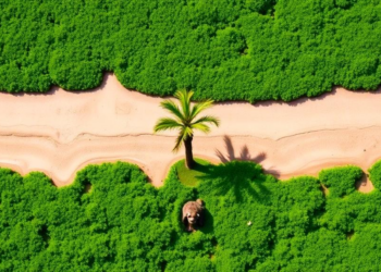
Machine Learning Reveals Two Decades of Shrinking Greenery Around Malawi’s Largest Lagoon
A two-decade machine-learning analysis of Landsat imagery shows vegetation cover in Malawi's Chia Lagoon catchment fell by 189 square kilometres ...
A two-decade machine-learning analysis of Landsat imagery shows vegetation cover in Malawi's Chia Lagoon catchment fell by 189 square kilometres ...

A three-decade analysis of seven Iranian river basins links deforestation, agricultural intensification, dams, and water transfers to escalating violations of ...

A new study of 129 Brazilian municipalities finds that wind and solar power development is statistically linked to urban expansion ...
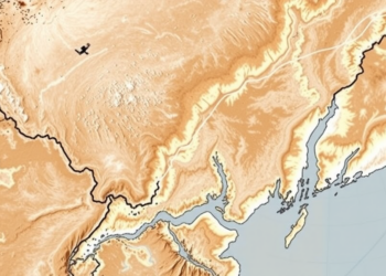
A new satellite-based index that distinguishes salty from fresh soil moisture reveals four decades of hidden ecological change in the ...
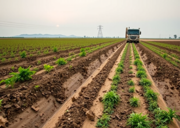
A global analysis of satellite cropland maps and over 460,000 conflict events shows that armed conflict caused disproportionate farmland loss ...

A 253-year coral core from Olowalu reef, Maui, shows that trace element pollution from sugarcane-era land use rose sharply in ...
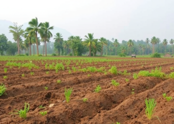
A depth-resolved study in Tripura, Northeast India, shows that land-use type, not soil depth, is the dominant driver of soil ...
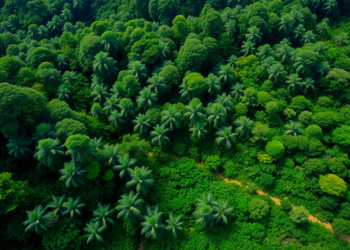
A two-decade satellite and soil analysis across Brazil's Central Atlantic Forest Corridor reveals that ecosystem productivity and soil carbon storage ...
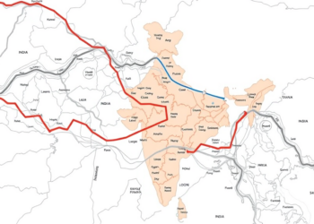
A new study combines interpretable machine learning and satellite change detection to build dynamic socio-environmental baselines along the Char Dham ...

A new study of Ambae Island, Vanuatu, finds that community perceptions of intensifying rainfall and cyclones broadly match satellite records, ...


Embark on a thrilling journey of discovery with Scienmag.com—your ultimate source for cutting-edge breakthroughs. Immerse yourself in a world where curiosity knows no limits and tomorrow’s possibilities become today’s reality!