


Urban digital twins promise smarter cities, but municipalities are struggling to deliver
A 24-month ethnographic study of Danish and Swedish municipalities finds that urban digital twins and 3D city models face fragmented ...
A 24-month ethnographic study of Danish and Swedish municipalities finds that urban digital twins and 3D city models face fragmented ...

The first landslide susceptibility maps for Ethiopia's Telemt, Janamora, and Beyeda districts, built with AHP and Frequency Ratio models, flag ...

A GIS and Geodetector analysis of 424 socialist-era sites in Beijing finds central districts hold the densest heritage but the ...
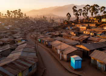
A GIS-based analysis of 339 public toilets in Addis Ababa finds that only 25.07 percent of residents live within the ...
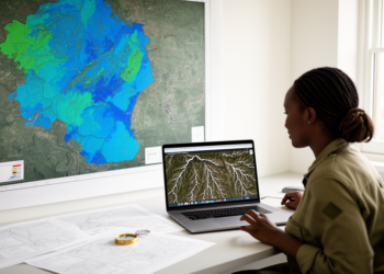
A GIS and Google Earth Engine framework classified Zimbabwe's groundwater potential nationwide and tested it against nearly 10,000 borehole records.

A study of the Lower Rhine near Wageningen used 659 geotagged Flickr photographs, land-cover maps and a survey of 50 ...
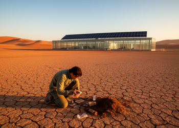
The first systematic review of the MEDALUS desertification model finds explosive growth in its use since 2013, but only 6 ...

An integrated assessment of Ethiopia's federal road network finds that 43.3 percent of its length faces high or very high ...
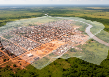
A Random Forest and satellite-imaging study found that built-up land in Gambella, Ethiopia, rose from 93 hectares in 2005 to ...

A GIS-based feasibility study finds that rooftop photovoltaic panels on a representative residential block in Mashhad could deliver 36.2 million ...


Embark on a thrilling journey of discovery with Scienmag.com—your ultimate source for cutting-edge breakthroughs. Immerse yourself in a world where curiosity knows no limits and tomorrow’s possibilities become today’s reality!