


Hybrid AI Framework Targets Urban Flood Risk and Green Infrastructure Planning
A new hybrid machine learning framework, GIStorm-Net, combines XGBoost, graph neural networks and optimization algorithms to predict urban flood risk ...
A new hybrid machine learning framework, GIStorm-Net, combines XGBoost, graph neural networks and optimization algorithms to predict urban flood risk ...

A new study combines fuzzy analytical hierarchy processing with GIS to map rainwater harvesting suitability across selected districts of Khyber ...

A study of the Lobo district in central Cameroon combined GIS-based spatial modeling with vertical electrical soundings to map groundwater ...

A new GIS-based tool scores and maps the local environmental impacts of quarrying, tested on six coloured marble quarries in ...

A hybrid optimization framework combining genetic algorithms and GIS location-allocation reduced maximum walking distances to neighborhood services by up to ...

A GIS-based study of central Portugal finds that over 60% of planned FIRELAN fuel break routes and buffers could be ...
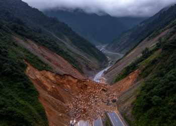
An expert-based AHP model in a GIS environment classifies nearly 30 percent of the NH 505 corridor in Himachal Pradesh ...
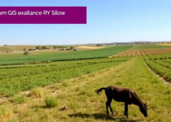
A proof-of-concept study in Kazakhstan demonstrates a GIS-enabled workflow that integrates georeferenced KAP surveys into veterinary surveillance using ArcGIS Survey123.

A new GIS-based survey maps 115 sedge taxa across Azerbaijan's landscapes and links their moisture-sensitive distribution to interannual temperature and ...

A new GIS-based study of Malaysia's Langat Catchment combines flood and landslide susceptibility into a single multi-hazard map, classifying 30.9 ...


Embark on a thrilling journey of discovery with Scienmag.com—your ultimate source for cutting-edge breakthroughs. Immerse yourself in a world where curiosity knows no limits and tomorrow’s possibilities become today’s reality!