


Machine Learning and Entropy Indices Reveal Most Mahanadi Water Near Paradip Unfit to Drink
A three-year geospatial study of the Mahanadi River near Paradip, Odisha, found that most monsoon-season surface water samples were unfit ...
A three-year geospatial study of the Mahanadi River near Paradip, Odisha, found that most monsoon-season surface water samples were unfit ...
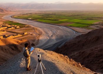
A remote sensing and multi-criteria modeling study mapped groundwater recharge potential across Pakistan's Pishin River Basin, with the fuzzy AHP ...
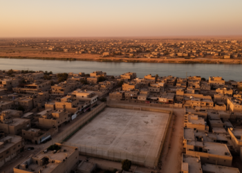
A GIS-based multi-criteria study of Ramadi District found that over 95% of its 46 sports complexes sit in urban areas, ...
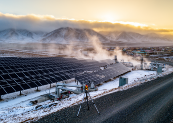
A GIS and AHP-based study identifies 1,155.25 square kilometers of northern Iran as suitable for hybrid solar-geothermal power plants, with ...
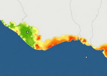
A GIS-based multi-criteria decision analysis framework maps physical flood vulnerability across Alappuzha District, Kerala, and its predictions align strongly with ...
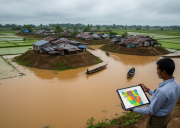
An AHP-GIS study of Sunamganj district in Bangladesh finds that roughly 37 percent of the area falls within high or ...
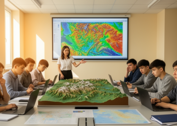
A survey of 100 geography students at al-Farabi Kazakh National University found that 67 percent of future teachers reported readiness ...
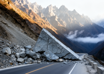
Researchers modified the TOBIA index to include wedge-failure geometry and mapped kinematic landslide susceptibility along an 80-kilometre stretch of NH-7 ...

A computational framework scores 1,454 Istanbul office buildings and shopping malls on 15-minute-city measures of urban-context readiness for residential conversion.

A GIS-based reanalysis of historical maps and excavated remains shows that structures on Lima's Rímac riverbank are hydraulic tajamares, not ...


Embark on a thrilling journey of discovery with Scienmag.com—your ultimate source for cutting-edge breakthroughs. Immerse yourself in a world where curiosity knows no limits and tomorrow’s possibilities become today’s reality!