


Markov beats neural networks in forecasting Nigeria’s fast-urbanising landscape
A two-decade Landsat study of Southwestern Nigeria found the CA-Markov model outperformed CA-ANN in simulating land-cover change, as built-up land ...
A two-decade Landsat study of Southwestern Nigeria found the CA-Markov model outperformed CA-ANN in simulating land-cover change, as built-up land ...

A GPS-based field survey and GIS analysis mapped 649 springs in South Kashmir’s Anantnag and Kulgam districts, providing a baseline ...

An abstract-based travelogue study in Qingdao found that tourist positive emotions varied nonlinearly with distance from the coast rather than ...

A morphometric–AHP framework paired with 10,000 Monte Carlo simulations identified five consistently high-priority sub-watersheds in Kerala’s Pampa River basin while ...
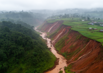
A GIS-based RUSLE assessment estimated annual soil loss of up to 51.4391 tonnes per hectare across Rwanda’s 3,402-square-kilometre Akanyaru Catchment, ...

Researchers in Bengaluru have built an interactive framework that lets residents define their own walkability scores, finding that personal preferences ...

A new one-metre resolution land-cover dataset quantifies floral resources for pollinators across twelve Central New York counties, combining federal and ...

A new GIS-based study maps where floods, landslides, and urban heat overlap in Dessie City, Ethiopia, and identifies the areas ...
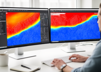
A new open-source QGIS plugin called Iterative Density Analysis automates statistically correct kernel density estimation across hundreds of polygons, fixing ...

A new GIS-based study maps relative urban vulnerability to lung cancer across Greater Cairo, combining twenty-nine spatial indicators with a ...


Embark on a thrilling journey of discovery with Scienmag.com—your ultimate source for cutting-edge breakthroughs. Immerse yourself in a world where curiosity knows no limits and tomorrow’s possibilities become today’s reality!