

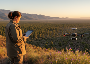
Scientists Map Mexico’s Climate and Vegetation in Unprecedented Detail
A new study couples bioclimatic classification with vegetation mapping to reveal 17 native plant formations across Mexico and warn that ...
A new study couples bioclimatic classification with vegetation mapping to reveal 17 native plant formations across Mexico and warn that ...
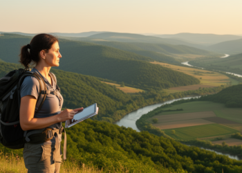
A new review in BioRisk traces two decades of ecosystem services research in Bulgaria, revealing how geographers drove the country's ...

An Argentine research team has linked three computational models to map vehicle emissions at 100-meter resolution in Tandil, revealing that ...

Every year, thousands of cyclists and e-scooter riders vanish into a zone no mirror can reach—the blind spot of a ...
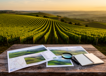
A systematic review of 39 studies finds that most vineyard land suitability assessments still rely on historical climate data, with ...
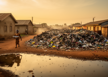
A new GIS-based study in Ghana's Dormaa Central Municipality finds that malaria occurrence consistently declines with increasing distance from solid ...
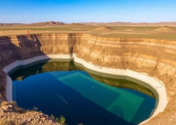
Kazakhstani hydrogeologists have developed and field-verified a multi-scale framework for managed aquifer recharge in the semi-arid Byzhy River Basin, confirming ...
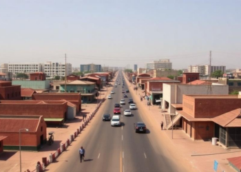
A seven-decade geospatial analysis shows Kano's built-up area grew nearly thirteenfold between 1950 and 2020, with transportation corridors, not formal ...
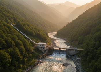
Greek researchers have developed an automated QGIS-based algorithm that ranks complete preliminary layouts for small run-of-river hydropower plants in minutes.
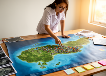
Researchers in the Philippines used GIS sieve mapping to rank 46 barangays in Lemery, Batangas by combined COVID-19 case counts ...


Embark on a thrilling journey of discovery with Scienmag.com—your ultimate source for cutting-edge breakthroughs. Immerse yourself in a world where curiosity knows no limits and tomorrow’s possibilities become today’s reality!