

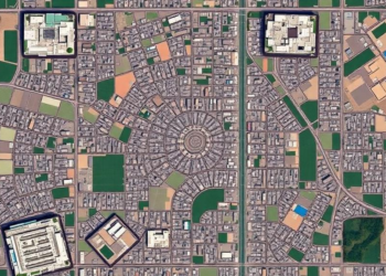
How Far From the City Center? Satellite Rings Reveal Lucknow’s Hidden Land Deficit
A satellite-based analysis of Lucknow, India reveals residential land shortfalls of up to 41.68 percent across concentric zones around the ...
A satellite-based analysis of Lucknow, India reveals residential land shortfalls of up to 41.68 percent across concentric zones around the ...
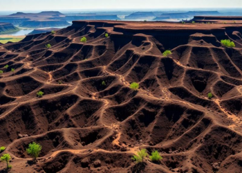
A coupled RUSLE-SWPT modeling study shows soil loss in Ethiopia's Upper Omo Gibe Basin rose 44 percent over three decades, ...
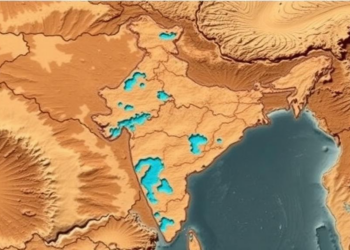
Researchers combined satellite imagery, GIS mapping and the Analytical Hierarchy Process to produce the first groundwater potential map of Mahoba ...
Ghanaian researchers and the FAO have compiled three decades of field data into a national atlas of tsetse flies and ...
A new commentary highlights how linking public GIS datasets to cohort data brings standardized, place-based environmental exposures into exposome-wide association ...
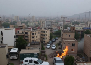
A new geospatial study finds that about 80 percent of Kabul is exposed to three or more overlapping environmental hazards, ...

A national registry analysis of more than 18,000 Iranian cases shows Hodgkin and non-Hodgkin lymphoma incidence rising between 2014 and ...
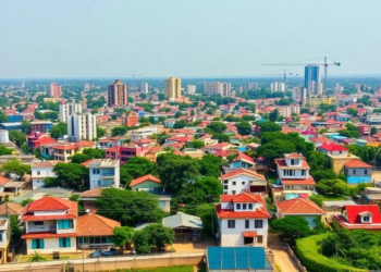
A first-of-its-kind geospatial study finds that Kano metropolis consumes resources at twice the rate its land can regenerate, with food ...
A new study of the Dikhow River Basin in Northeast India shows that a simple frequency ratio model outperformed the ...
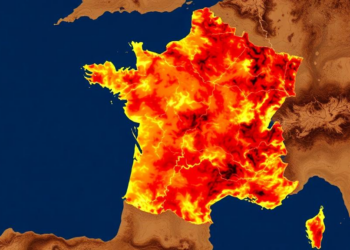
A new remote sensing and multi-criteria framework maps forest fire vulnerability across Gironde, France, revealing that nearly half the department ...


Embark on a thrilling journey of discovery with Scienmag.com—your ultimate source for cutting-edge breakthroughs. Immerse yourself in a world where curiosity knows no limits and tomorrow’s possibilities become today’s reality!