


Mapping the Long Road to Skin Care: Older Americans Face Steep Travel Times to Dermatologists
A network-based geospatial study measured real travel times for U.S. adults aged 65 and older to reach Medicare-participating dermatologists, revealing ...
A network-based geospatial study measured real travel times for U.S. adults aged 65 and older to reach Medicare-participating dermatologists, revealing ...
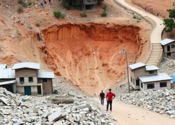
A new GIS-based study maps landslide hazard, vulnerability and risk across Srinagar, Uttarakhand, using frequency ratio and information value models ...
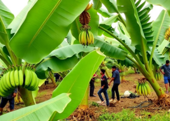
A GIS-based multi-criteria analysis has mapped banana cultivation suitability across Assam's Goalpara district, identifying over 4,100 hectares of highly suitable ...
A GIS and Analytic Hierarchy Process study of Pozhuthana Grama Panchayath in Kerala's Wayanad district has produced a flood hazard ...

Researchers in Kathmandu are building an integrated urban health data portal that combines household censuses, participatory mapping, and facility assessments ...
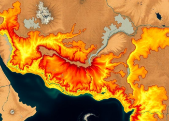
A new RUSLE-GIS study maps soil erosion across India's drought-prone Jonk River Basin with 97 percent accuracy, identifying steep, unprotected ...

A new AHP-based landslide susceptibility map of the Solan-Shimla highway in Himachal Pradesh identifies the most dangerous slopes along a ...
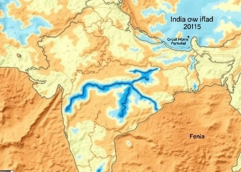
Researchers in Maharashtra combined GIS mapping with conventional and fuzzy multi-criteria methods to delineate groundwater potential zones in drought-prone Baramati ...
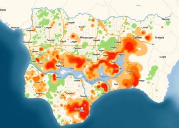
A GIS and analytical hierarchy process study of Ilorin, Nigeria, has mapped flood susceptibility across the entire metropolis and found ...
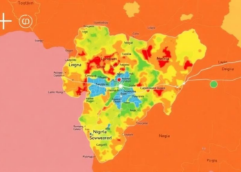
Researchers in Nigeria combined satellite data with a structured expert-weighting method to map flood susceptibility across Makurdi, finding that over ...


Embark on a thrilling journey of discovery with Scienmag.com—your ultimate source for cutting-edge breakthroughs. Immerse yourself in a world where curiosity knows no limits and tomorrow’s possibilities become today’s reality!