

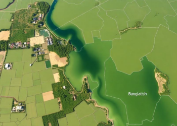
Satellites and GIS Reveal Where Groundwater Hides Beneath Bangladesh’s Largest Wetland
An integrated satellite, GIS, and multi-criteria analysis has mapped groundwater potential across Bangladesh's largest inland wetland, revealing that only one ...
An integrated satellite, GIS, and multi-criteria analysis has mapped groundwater potential across Bangladesh's largest inland wetland, revealing that only one ...
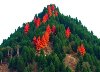
A Random Forest model built on satellite fire records shows that nearly 30 percent of forest in Nepal's mountainous Rasuwa ...
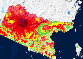
A new machine learning study maps Nepal nationwide flood and landslide susceptibility and identifies thousands of square kilometres of connected ...
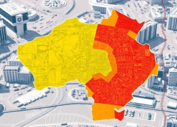
Researchers at Jilin Jianzhu University combined GIS and the Analytic Hierarchy Process to map six overlapping hazards across Changchun, revealing ...
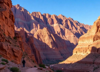
Researchers used logistic regression and support vector machine models to map potential mountain climbing sites across Morocco's Eastern High Atlas, ...
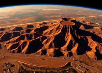
A three-decade satellite analysis of South Africa's Witwatersrand mining belt shows that land changes are statistically systematic, clustered in historically ...
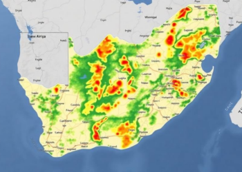
A new GIS-based study in South Africa's Bushveld Igneous Complex found that Fuzzy Logic modelling outperformed both expert-driven AHP and ...

Researchers have mapped groundwater potential across Uttarakhand's rapidly urbanising Soar Valley using an integrated AHP-GIS framework validated against 91 spring ...
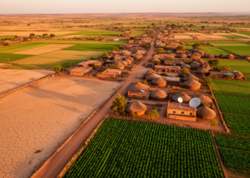
A new study combining Landsat imagery and neural network modeling shows that Fiche Town in central Ethiopia more than doubled ...
A new study along a landslide-ravaged stretch of National Highway 7 in Uttarakhand shows that Random Forest and XGBoost machine ...


Embark on a thrilling journey of discovery with Scienmag.com—your ultimate source for cutting-edge breakthroughs. Immerse yourself in a world where curiosity knows no limits and tomorrow’s possibilities become today’s reality!