


In the frozen northeast of China, where summer floods and winter blizzards can strike the same neighborhoods within a single year, a team of researchers has built one of the most detailed pictures yet of how multiple disasters stack up across a major city. A study published in the journal Natural Hazards by Peijian Jin, Zheng Wan and colleagues at Jilin Jianzhu University presents a comprehensive multi-hazard risk assessment of Changchun, a city of several million people and the capital of Jilin Province. Rather than treating each threat in isolation, the team wove six distinct hazard components—flood, wind and hail, typhoon, earthquake, snowstorm, and a production-safety screening of industrial activity—into a single map-based framework designed to show planners exactly where danger concentrates.
The core of the method rests on two well-established tools: Geographic Information Systems, or GIS, and the Analytic Hierarchy Process, known as AHP. GIS provides the digital canvas on which every piece of evidence—rainfall records, population density, building stock, industrial locations—is laid out as a layer of geographic data. AHP, a decision-making technique developed by mathematician Thomas Saaty in 1980, supplies the logic for weighing those layers against one another. Experts make structured pairwise comparisons, judging which hazard or indicator matters more than another, and the technique converts those judgments into numerical weights. In this study, every judgment matrix passed the standard consistency test, with a consistency ratio below 0.10, meaning the expert comparisons were internally coherent rather than arbitrary.
The framework follows the classic structure of disaster risk science: risk emerges where hazard, exposure, and vulnerability intersect. Hazard describes the physical threat itself, such as the likelihood of intense rainfall or heavy snowfall. Exposure captures what lies in harm’s way, including people, buildings, and infrastructure. Vulnerability measures how susceptible those exposed elements are to damage. For each of the six components, the researchers assembled indicator sets spanning these three dimensions, standardized the values so that wildly different units—millimeters of rain, population counts, seismic parameters—could be compared, applied the AHP-derived weights, and then overlaid everything in GIS to produce composite risk scores for every part of the city.
What makes the Changchun study unusual is the inclusion of a production-safety component alongside five natural hazards. Industrial accidents—fires, chemical releases, explosions at petrochemical facilities—are not natural disasters, but in a dense city they can be triggered or amplified by natural events, a coupling that disaster researchers call Na-Tech risk. The team drew on Chinese national fire-protection design codes for petrochemical enterprises and for buildings to screen industrial activity across the urban area. The result is a framework that treats the city as a single coupled system in which a flood or an earthquake could conceivably set off a chain of technological failures, rather than a patchwork of separate hazard zones managed by separate agencies.
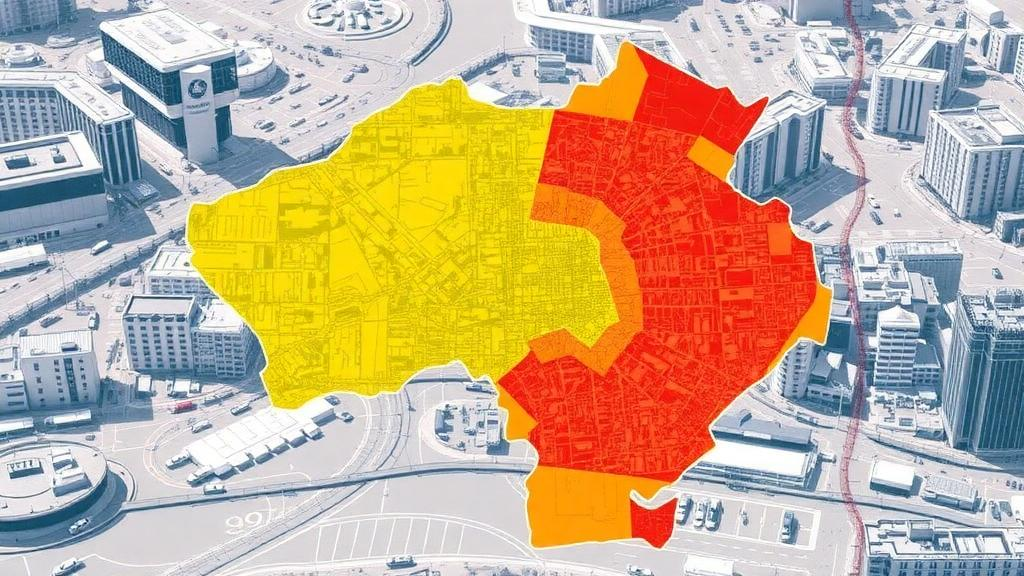
The maps that emerged reveal striking spatial heterogeneity. High-risk areas cluster in the central urban districts, particularly Erdao District and Lvyuan District, along with the surrounding industrial clusters. This pattern is no accident: the same forces that make a city center economically vibrant—dense populations, aging infrastructure, concentrated industry—also make it a place where multiple hazards converge on maximum exposure. Meanwhile, the different hazard components behaved very differently across space. Flood risk and snowstorm risk spread broadly across the landscape, reflecting the regional reach of heavy precipitation and severe winter weather in this continental climate. The production-safety screening, by contrast, was tightly concentrated around zones of industrial activity, tracing the footprint of factories and chemical parks.
That contrast carries a practical message. A hazard like snowfall blankets nearly everything, so mitigation must be systemic—snow-removal capacity, roof-load standards, transportation resilience. An industrial-safety hazard, on the other hand, is a point-source problem where targeted inspections, buffer zones, and emergency-response planning around specific facilities can deliver outsized benefits. The study found meaningful spatial overlap between the natural-hazard components and the production-safety screening values, which is precisely the overlap that disaster-chain researchers worry about: the places most likely to flood or shake are also, in Changchun’s case, places where industrial vulnerability is elevated. A single flood there could cascade into accidents at facilities never designed with water in mind.
The data underpinning the assessment came from an unusually broad set of sources, reflecting the scale of China’s recent investment in disaster preparedness. The team drew on the First National Comprehensive Natural Disaster Risk Census, a nationwide effort to catalog hazard conditions across every province, along with municipal statistical bulletins, national earth-system science datasets, the Geospatial Data Cloud platform, WorldPop gridded population data, and OpenStreetMap. This mixture of official census data, remote-sensing products, and crowdsourced mapping illustrates how modern risk assessment increasingly assembles its evidence base from many streams, each contributing a different resolution and perspective on the same urban terrain.
The authors are candid about the framework’s boundaries. AHP weights, however carefully constructed, encode expert judgment rather than objective measurement, and the consistency test validates the logic of the comparisons, not the truth of the resulting priorities. The researchers also note that their workflow is regionally specific: other cities adopting the approach would need to recalibrate the indicator system, the weights, and the data inputs to their own hazard profiles and urban forms. A coastal city facing typhoon surge would weight components very differently from an inland northern city like Changchun, where typhoon remnants and hailstorms matter but seismic hazard follows its own tectonic logic. The framework is a template, not a turnkey product.
Still, the timing and the approach align with a broader shift in how cities think about catastrophe. International frameworks for disaster risk reduction have pushed governments away from single-hazard silos toward multi-hazard assessment, and China’s own risk census has generated exactly the kind of raw material that makes such assessments feasible at municipal scale. Comparable GIS-and-AHP studies have recently appeared for South Korea’s Gyeonggi Province, the Salt Lake watershed in the United States, and the Quinali watershed in the Philippines, suggesting a growing global repertoire of methods for stacking hazards on one map. Changchun’s contribution is to demonstrate how a technological-risk screening can sit inside that stack, bridging the institutional gap between natural-disaster agencies and workplace-safety regulators.
For the people who live in Erdao and Lvyuan, the maps translate into concrete questions: where to reinforce drainage before the next summer downpour, which industrial perimeters need stricter inspection, where emergency shelters should stand relative to both floodplains and hazardous facilities. The study offers targeted recommendations for disaster prevention, mitigation, and territorial spatial planning, positioning the assessment as a foundation for sustainable urban development rather than an academic exercise. As climate change reshapes the frequency of floods, storms, and snow events across the world’s mid-latitude cities, and as industry continues to cluster near the populations it serves, the Changchun framework offers a replicable way to see the whole risk landscape at once—before the hazards, converging, see the city first.
Subject of Research: GIS- and AHP-based multi-hazard urban risk assessment integrating natural hazards and production-safety screening in Changchun, China
Article Title: Comprehensive risk assessment of multiple disasters in urban areas: the case of Changchun
Article References: Jin, P., Wan, Z., Shi, Z., Huang, L., Wang, K., Zhang, S., Guo, L., Liu, Z., Zhang, D., Fan, E., Ren, Y., Zhou, Y., Ma, H., Yao, X., & Zhou, X. (2026). Comprehensive risk assessment of multiple disasters in urban areas: the case of Changchun. Natural Hazards, 122(21), Article 667. https://doi.org/10.1007/s11069-026-08419-9
Image Credits: AI Generated
DOI: 10.1007/s11069-026-08419-9
Keywords: multi-hazard risk assessment, GIS, Analytic Hierarchy Process, Changchun, urban disaster risk, flood, snowstorm, earthquake, production safety, Na-Tech risk, spatial planning, Natural Hazards
Cite Scienmag News
Violet Maxwell. (October 11, 2026). Mapping the City Where Six Disasters Collide: Changchun’s Multi-Hazard Risk Blueprint. Scienmag. https://scienmag.com/mapping-the-city-where-six-disasters-collide-changchuns-multi-hazard-risk-blueprint/
Violet Maxwell. "Mapping the City Where Six Disasters Collide: Changchun’s Multi-Hazard Risk Blueprint." Scienmag, 11 October 2026, https://scienmag.com/mapping-the-city-where-six-disasters-collide-changchuns-multi-hazard-risk-blueprint/. Accessed 11 October 2026.
Violet Maxwell. "Mapping the City Where Six Disasters Collide: Changchun’s Multi-Hazard Risk Blueprint." Scienmag. October 11, 2026. https://scienmag.com/mapping-the-city-where-six-disasters-collide-changchuns-multi-hazard-risk-blueprint/


