


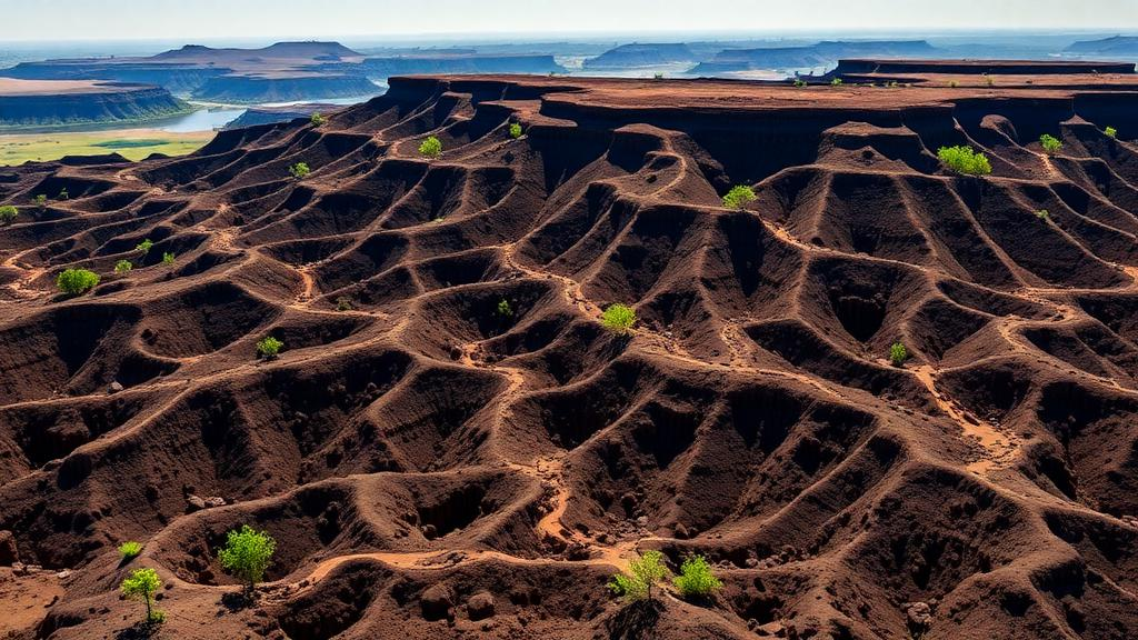
Deep in southwestern Ethiopia, a quiet crisis is unfolding across the rolling highlands of the Upper Omo Gibe Basin. A new study published in Discover Soil reveals that the region, which covers roughly 15,746 square kilometers and feeds some of the country’s most important hydropower infrastructure, is shedding its fertile topsoil at a rate far beyond what the land can tolerate. Using satellite imagery, climate projections, and a coupled modeling framework, researchers tracked three decades of land transformation and found that average annual soil loss climbed from 25.47 tons per hectare per year in 1991 to 36.72 tons per hectare per year in 2020. That figure dwarfs the commonly accepted tolerable soil loss limit of 11 tons per hectare per year, and it signals a watershed under mounting pressure from both human activity and a changing climate.
The stakes extend well beyond eroding hillsides. The Upper Omo Gibe Basin is a lifeline for millions of farmers and a critical source of water for the Gibe III hydropower project, one of Ethiopia’s flagship energy developments. Sediment washing off degraded slopes flows downstream into reservoirs, gradually stealing storage capacity, degrading water quality, and undermining the efficiency of turbines. Globally, soil erosion strips an estimated 75 billion metric tons of fertile soil from the land each year, and Ethiopia is among the hardest-hit nations. In severely degraded parts of the country, erosion rates can exceed 300 tons per hectare per year, and the nation’s rivers collectively carry more than 1.3 billion tons of sediment to neighboring countries annually, with the Blue Nile alone transporting roughly 131 million tons.
The research team, led by Muse Wldmchel Shomre of Wachemo University together with colleagues from Wolaita Sodo University, built their assessment on the Revised Universal Soil Loss Equation, or RUSLE, a widely used empirical model that estimates average annual soil loss from five factors: rainfall erosivity, soil erodibility, slope length and steepness, land cover management, and conservation support practices. Working at a 30-by-30-meter grid resolution within a geographic information system, the team computed each factor from field and satellite data. Rainfall erosivity was derived using Hurni’s regression equation adapted for the Ethiopian highlands, soil erodibility came from the Wischmeier and Smith nomograph applied to the FAO Harmonized World Soil Database, and topographic factors were extracted from a digital elevation model.
A crucial innovation of the study lies in its pairing of RUSLE with the Sub-Watershed Prioritization Tool, or SWPT, which automates the calculation of morphometric and topo-hydrological parameters such as drainage density, bifurcation ratio, form factor, circularity ratio, the topographic wetness index, the stream power index, and the sediment transport index. These descriptors capture how the shape and structure of each sub-watershed govern runoff behavior and sediment movement. By combining the two approaches through a weighted sum analysis, the researchers could rank nine sub-watersheds by vulnerability, moving beyond the broad-brush assessments that have historically obscured localized erosion hotspots in data-scarce regions.
The land cover story that emerged from the satellite record is stark. Between 1991 and 2020, agricultural land expanded from 4,751 square kilometers, about 30 percent of the basin, to 6,922 square kilometers, or nearly 44 percent, a net gain of 2,570 square kilometers. Settlement areas more than doubled, growing from 1,089 to 2,862 square kilometers as urbanization accelerated. Shrubland bore the brunt of this conversion, collapsing from 4,234 square kilometers to just 2,041, while bare land fell from 3,267 to 1,342 square kilometers. Forest cover dipped from 15 percent of the basin in 1991 to about 10.5 percent in 2006 before partially recovering to 15.6 percent by 2020, a rebound the authors attribute to afforestation programs, watershed rehabilitation, and natural regeneration. Classification accuracies ranged from 72 to 86.4 percent, with kappa coefficients between 0.67 and 0.84, indicating statistically reliable maps.
Climate projections add a troubling dimension. The team evaluated five regional climate model combinations from the CORDEX-Africa ensemble under two emission scenarios, RCP 4.5 and RCP 8.5, after bias-correcting the raw outputs with distribution mapping for precipitation and variance scaling for temperature. The ensemble mean consistently outperformed individual models, achieving correlations of 0.54 to 0.67 with observed rainfall and the lowest root mean square errors across six weather stations. Under the medium emission scenario, ensemble maximum temperatures are projected to rise by 0.54 degrees Celsius in the near future and 1.3 degrees Celsius by mid-century, while under the high emission scenario the far-future increase reaches 2.23 degrees Celsius. Rainfall, meanwhile, shows reductions of up to 31.8 percent in some model projections, a paradoxical combination in which less total rain may arrive in more intense, erosive bursts.
This matters for erosion because the relationship between rainfall and soil loss is nonlinear. Even as annual totals decline, shifts in rainfall intensity and distribution can amplify erosion during extreme events, while higher temperatures reduce soil moisture and vegetation cover, weakening soil structure. The study’s authors note that future erosion patterns may therefore diverge from historical trends, demanding adaptive rather than static conservation strategies. The RUSLE analysis itself showed the consequences of past changes: total soil loss across the basin rose from about 40.1 million tons per year in 1991 to 57.8 million tons per year in 2020, an intensification of nearly 44 percent over three decades.
The prioritization analysis pinpointed where intervention would pay off most. Sub-watersheds SW1 and SW3 emerged as the highest priorities, with compound parameter values of -1903 and 927 respectively, reflecting unfavorable morphometric characteristics and high sediment transport potential. SW3 recorded the highest sediment transport index in the basin at 19.72, while SW5 showed the greatest stream power index at 6.56, flagging it for channel erosion risk. Four sub-watersheds, SW1, SW3, SW4, and SW5, were identified as highly vulnerable overall. The authors recommend immediate soil and water conservation measures in the top-priority zones, including afforestation, check dam construction, and sustainable land management, moderate interventions in medium-priority areas such as SW5, and routine monitoring in lower-priority sub-watersheds like SW6 and SW9.
The findings also expose why past conservation efforts have struggled. Terracing, stone bunds, and mulching schemes across Ethiopia have often underperformed due to poor design, inadequate maintenance, and insufficient funding, and a major culprit has been the misallocation of resources to less vulnerable areas while critical hotspots went unaddressed. By fusing empirical soil loss estimates with geomorphometric prioritization, the RUSLE-SWPT framework offers a way to direct scarce conservation funding where it will do the most good, an approach consistent with recent multi-criteria decision analyses in India’s Teesta River Basin that combined morphometric parameters with techniques such as AHP and TOPSIS.
The study is candid about its limits. RUSLE captures only sheet and rill erosion, not the gully erosion and mass movements common on steep degraded slopes, and the researchers did not feed climate projections directly into the erosion model because of uncertainties in future land use, soil characteristics, and conservation practices. Limited field sediment data restricted validation, and uncertainties in rainfall records, soil properties, and digital elevation model resolution all propagate into the estimates. Still, the authors argue that the coupled framework provides a practical blueprint for data-scarce regions, and they call for future work integrating climate and land use scenarios into process-based models such as SWAT or WEPP. For a basin whose hillsides feed both farms and turbines, the message is clear: without targeted, evidence-based conservation, the soil that sustains Ethiopia’s Upper Omo Gibe will keep washing away, one storm at a time.
Subject of Research: Soil erosion assessment and sub-watershed prioritization using coupled RUSLE and SWPT modeling under land use change and climate projections in the Upper Omo Gibe Basin, Ethiopia
Article Title: Coupled RUSLE-SWPT morphometric characterization of soil erosion under land use change and climate projections in the Upper OMO Gibe Basin
Article References: Shomre, M. W., Anticho, L. A., & Meskele, D. Y. (2026). Coupled RUSLE-SWPT morphometric characterization of soil erosion under land use change and climate projections in the Upper OMO Gibe Basin. Discover Soil, 3(1), Article 117. https://doi.org/10.1007/s44378-026-00264-3
Image Credits: AI Generated
DOI: 10.1007/s44378-026-00264-3
Keywords: soil erosion, RUSLE, SWPT, Upper Omo Gibe Basin, Ethiopia, land use change, climate projections, watershed prioritization, morphometric analysis, hydropower, GIS, remote sensing
Cite Scienmag News
Alan Morgan. (October 4, 2026). Ethiopia’s Upper Omo Gibe Basin Is Losing Soil at an Alarming Rate, Satellite Study Finds. Scienmag. https://scienmag.com/ethiopias-upper-omo-gibe-basin-is-losing-soil-at-an-alarming-rate-satellite-study-finds/
Alan Morgan. "Ethiopia’s Upper Omo Gibe Basin Is Losing Soil at an Alarming Rate, Satellite Study Finds." Scienmag, 4 October 2026, https://scienmag.com/ethiopias-upper-omo-gibe-basin-is-losing-soil-at-an-alarming-rate-satellite-study-finds/. Accessed 4 October 2026.
Alan Morgan. "Ethiopia’s Upper Omo Gibe Basin Is Losing Soil at an Alarming Rate, Satellite Study Finds." Scienmag. October 4, 2026. https://scienmag.com/ethiopias-upper-omo-gibe-basin-is-losing-soil-at-an-alarming-rate-satellite-study-finds/


