

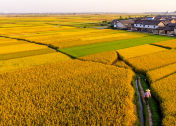
New 30-Meter Maps Reveal China’s Maize Production Field by Field
Researchers built a 30-meter-resolution maize production map of China for 2019 and 2020 by downscaling official provincial statistics with satellite-derived ...
Researchers built a 30-meter-resolution maize production map of China for 2019 and 2020 by downscaling official provincial statistics with satellite-derived ...

A machine learning audit of Chinese grain production finds that capacity-based composite resilience indices show almost no correlation with realized ...
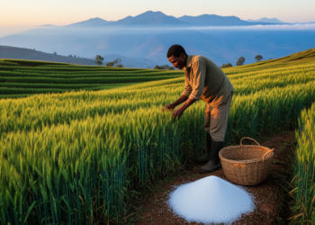
A DSSAT modeling study calibrated on three years of field trials at three Ethiopian highland sites finds that early planting, ...
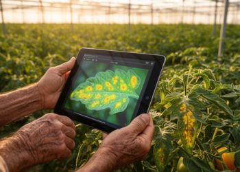
A 79,717-parameter attention-fused neural network called LeafXNet matches or beats far larger deep learning models at detecting watermelon, grape, and ...
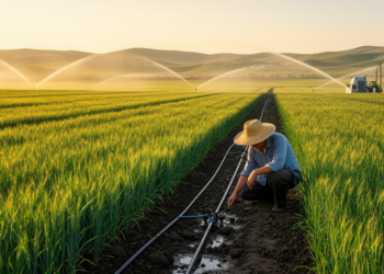
A Nature Food study combining county records, farmer surveys and thousands of field experiments finds that crop- and region-specific irrigation ...

A new review integrates contaminant monitoring, quantitative risk assessment, and AI-assisted governance into a unified framework for safe agricultural wastewater ...
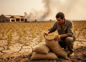
A BMJ commentary argues that localized food shortages persist amid conflict and climate hazards and calls for coordinated changes across ...
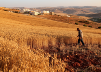
A national satellite study estimated that Lebanon’s wheat area ranged from 27,212 to 69,194 hectares across 2017–2025, with sharp contractions ...
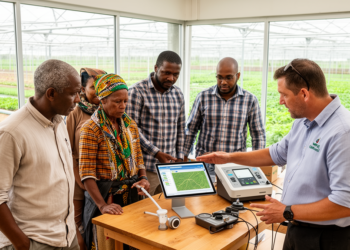
A mini review finds that digital agriculture can improve productivity, market access, food stability and utilization, but uneven infrastructure, skills, ...

A review of 62 sources links Southern African indigenous knowledge systems with the persistence of some livestock traits and favourable ...


Embark on a thrilling journey of discovery with Scienmag.com—your ultimate source for cutting-edge breakthroughs. Immerse yourself in a world where curiosity knows no limits and tomorrow’s possibilities become today’s reality!