


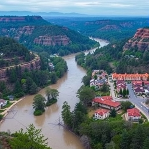
Two companion papers in the Bulletin of the American Meteorological Society shed fresh light on why the July 2025 Texas Hill Country floods were so catastrophic—and what it might take to predict flash-flood threats with enough lead time to act. The event was the deadliest flash flood in the United States since 1976, killing at least 135 people, including 119 in Kerr County.
At the center of the analysis is Camp Mystic, where 28 lives were lost. Researchers have examined not only the meteorology that produced extreme rainfall, but also how well flood forecasting systems performed during the disaster and how future models could reduce uncertainty in both space and timing.
One study evaluates an experimental forecasting chain: NOAA’s Warn on Forecast system (WoFS) coupled with the FLASH flood prediction model. By running high-resolution simulations initialized with conditions from the disaster’s lead-up, the team tested whether next-generation models could anticipate the most dangerous river flows earlier than operational tools.
The results are striking. More than half of the WoFS-FLASH simulations would have produced forecasts of extreme, record-breaking flows 5–7 hours in advance. In operational forecasting, that window could translate into actionable watch-to-warning improvements for forecasters and emergency managers.
The second paper reconstructs the flood’s hydrometeorological anatomy. It links the event to a lingering, localized storm structure that tapped an unusually deep plume of tropical moisture. Crucially, local atmospheric dynamics helped organize upstream convection into a rotating supercell capable of extreme rain rates.
Camp Mystic sat at the confluence of two rivers, making timing everything. Because the storm lingered over the same watershed for hours, flood waves from the South Fork of the Guadalupe River and Cypress Creek arrived nearly simultaneously, compounding inundation in a vulnerable setting.
Together, the studies argue that extreme outcomes can emerge from the interaction between broader atmospheric conditions and smaller-scale circulations that steer storms, sustain them, and govern whether multiple flood waves converge.
The researchers also emphasize that modest shifts in storm location can determine which watershed receives the heaviest rain—an operationally relevant lesson for improving real-time monitoring and forecast coupling.
Finally, these findings point toward a future where higher-resolution, coupled modeling can better translate meteorological predictability into flood-risk decisions, turning chaotic uncertainty into earlier, more specific warnings.
Cite Scienmag News
Russell Cooper. (July 27, 2026). Study Reveals New Insights Into Texas Hill Country Floods. Scienmag. https://scienmag.com/study-reveals-new-insights-into-texas-hill-country-floods/
Russell Cooper. "Study Reveals New Insights Into Texas Hill Country Floods." Scienmag, 27 July 2026, https://scienmag.com/study-reveals-new-insights-into-texas-hill-country-floods/. Accessed 4 September 2026.
Russell Cooper. "Study Reveals New Insights Into Texas Hill Country Floods." Scienmag. July 27, 2026. https://scienmag.com/study-reveals-new-insights-into-texas-hill-country-floods/


