


HEC-RAS and ArcGIS model a flood resilience index for urban planning
A study combining HEC-RAS flood modelling, ArcGIS spatial analysis and CRITIC and VIKOR statistics builds a Flood Resilience Index that ...
A study combining HEC-RAS flood modelling, ArcGIS spatial analysis and CRITIC and VIKOR statistics builds a Flood Resilience Index that ...
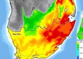
Durban, one of Africa's fastest-growing coastal cities, now has the most detailed picture yet of where extreme rainfall will strike ...

Two companion papers in the Bulletin of the American Meteorological Society shed fresh light on why the July 2025 Texas ...

Flooding events have long been recognized as one of the most devastating natural disasters, inflicting significant damage on infrastructure, the ...

In the heart of Ethiopia’s Lake Tana Sub-Basin, a significant leap in flood vulnerability assessment is on the horizon. Researchers, ...


Embark on a thrilling journey of discovery with Scienmag.com—your ultimate source for cutting-edge breakthroughs. Immerse yourself in a world where curiosity knows no limits and tomorrow’s possibilities become today’s reality!