


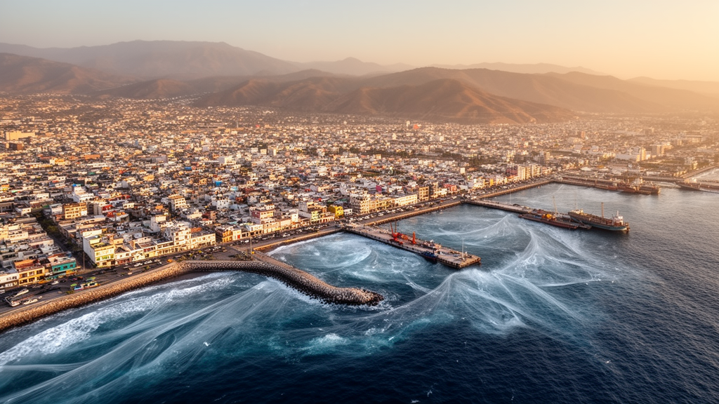
Manzanillo, a major port city on Mexico’s central Pacific coast, sits uncomfortably close to one of the planet’s most active seismic zones. The Mesoamerican Trench, where the Rivera, Cocos, and North American plates converge, runs just offshore, and history shows what that proximity can mean. Tsunamis struck this coast in 1932 and again in 1995, causing severe damage and loss of life. Now, a new study in the Bulletin of Earthquake Engineering has produced the most detailed site-specific probabilistic tsunami hazard assessment yet for Manzanillo, combining thousands of simulated earthquakes with physics-based flood modeling to estimate how often tsunamis might strike the city and how far inland the water could travel.
The research team, led by Lizzeth Vázquez-Caamal and Christian M. Appendini of the National Autonomous University of Mexico, together with colleagues from UNAM’s Morelia campus, the University of Iceland, and UNAM’s Institute of Engineering, took a fundamentally probabilistic approach. Rather than modeling a single worst-case earthquake, they generated a vast ensemble of plausible seismic events using stochastic rupture modeling. The work builds on the framework of probabilistic seismic hazard analysis, which integrates earthquake recurrence statistics, magnitude distributions, and variability in how ruptures unfold to estimate exceedance probabilities. This allows the assessment to capture the full spectrum of possible events, including ones larger than anything in the historical record.
At the heart of the methodology is the FakeQuakes module of the open-source MudPy code, which generates realistic synthetic earthquake slip distributions on a three-dimensional model of the subduction interface. The team used the Slab2.0 model to define the geometry of the plate boundary, discretizing it into a finite mesh extending to about 30 kilometers depth, the range where large thrust earthquakes typically occur in this region. Slip heterogeneity was sampled using a Karhunen-Loève expansion, producing physically plausible variability in how each rupture distributes its energy. In total, the researchers created 4,800 synthetic earthquakes spanning magnitudes from Mw 7.0 to Mw 8.5 in increments of 0.1, with 300 scenarios for each of 16 magnitude bins. Each scenario was weighted according to its annual occurrence rate derived from a regional Gutenberg-Richter relationship, with a correction applied to represent the smaller rupture domain evaluated in the study.
Before trusting the probabilistic results, the team validated the entire modeling chain against a known event. They generated 600 synthetic rupture models constrained to the characteristics of the 1995 Colima-Jalisco earthquake, a magnitude 8.0 event that produced strong tsunami currents in Manzanillo Bay. From this ensemble, 28 realizations with magnitudes within a narrow range of the target were retained for controlled comparison. The simulations were run using GeoClaw, a well-validated solver for the nonlinear shallow water equations that employs adaptive mesh refinement to efficiently handle both broad-scale wave propagation and fine-scale coastal inundation. The comparison with the observed tide gauge record from Manzanillo’s harbor showed that the model captured the first wave, a trough followed by a peak consistent with regional subduction movement, along with the trailing oscillations and their decay over time. The simulated arrival times were slightly delayed by about 3 to 10 minutes across all scenarios, likely due to small inaccuracies in the assumed rupture location or velocity model, but the wave period and overall duration were well reproduced.
The numerical setup was designed to resolve the complex coastal geography of Manzanillo in detail. Five levels of nested grids were used, with the coarsest covering a large portion of the Pacific at 5 arc-minute resolution and the finest centered on the bays and lagoons of interest at about 30 meters. This resolution was adequate to model water flow through narrow channels and around small islands or peninsulas. The team merged global bathymetry with high-resolution local surveys and topographic data to create a seamless digital elevation model capturing features like beach berms and channel connections between the ocean and lagoons. A Manning’s roughness coefficient of 0.025 was applied to account for energy losses from seafloor roughness and onshore terrain friction, a standard reference value for tsunami inundation modeling over mixed coastal environments.
The results reveal a spatially shifting hazard pattern that depends on earthquake size. For a 100-year return period, corresponding to a 40 percent exceedance probability in 50 years, the highest tsunami amplitudes among five virtual gauge stations were found at point P3, situated near the city center in Manzanillo Bay. This suggests that for relatively moderate events, the central bay experiences the largest waves. However, as return periods extend beyond 800 years, the hazard shifts to Santiago Bay, represented by point P2, which begins to show higher levels than the city center. Point P5, representing the open coast near Campos, also shows increased hazard by a 1,000-year return period, consistent with the idea that open-coast segments are prone to the impact of the largest tsunamis. This spatial variability underscores the importance of site-specific assessment rather than relying on regional averages.
The inundation maps generated for 50-, 100-, and 500-year return periods consistently identify low-lying areas near the coast as the most vulnerable. Santiago Bay, the downtown and port area around Manzanillo Bay, and the extensive wetlands around Cuyutlán Lagoon emerge as hotspots of inundation. For the 50-year scenario, roughly corresponding to a magnitude 7.3 earthquake, flood extents primarily affect zones immediately adjacent to the shoreline, though the Cuyutlán Lagoon area experiences the farthest inland flooding at about 5.6 kilometers from the coast, largely because the terrain there is very flat and low. Once water overtops the beach or enters the lagoon inlet, it can propagate far across the marshy land with little resistance. For the 100-year event, roughly a magnitude 7.74 scenario, flooding extends about 1.8 kilometers inland in Manzanillo Bay and up to 5.8 kilometers at Cuyutlán in the static maps, with dynamic simulations showing depths exceeding 6 meters within the port.
The 500-year scenario, approaching the upper magnitude considered at roughly Mw 8.3, delineates the outer envelope of tsunami flooding one might reasonably prepare for. The static map shows very extensive flooding at Manzanillo Bay, covering nearly all urban and port areas with inundation reaching up to 2.6 kilometers inland. Around Juluapan Lagoon, flooding may extend 2.5 kilometers inland, affecting surrounding roads and residential areas. At Cuyutlán, inundation reaches up to 6.2 kilometers, suggesting the entire lagoon would become part of the ocean temporarily. The dynamic simulation for a magnitude 8.49 event indicates extreme water depths, with about 6.2 meters in Cenicero Bay and 6.4 meters on the eastern side of Santiago Bay. The port area records about 7.8 meters of overtopping the breakwaters and 6.9 meters of inundation inside the port, which could cause severe disruption to operations and infrastructure.
A key methodological contribution of the study is the explicit comparison between simplified elevation-based mapping and physics-based hydrodynamic simulation. The elevation-based approach uses Green’s law to scale offshore wave amplitudes to nearshore reference depths and then floods all hydraulically connected terrain below a prescribed elevation. The hydrodynamic approach simulates representative events whose offshore peak coastal amplitudes match the target exceedance levels from the probabilistic curves. For the 500-year event, the static method yields an inundated area of approximately 54.16 square kilometers, compared with 10.82 square kilometers from the full hydrodynamic simulation, indicating the simpler estimate is roughly five times larger. This discrepancy highlights the importance of frictional dissipation, represented by the Manning roughness coefficient, in controlling inland flow. The static method floods all connected terrain below a prescribed elevation without accounting for finite wave duration, momentum losses, topographic steering, or energy dissipation during overland flow. The authors suggest the GIS approach is useful as a conservative screening tool but may substantially overpredict inland penetration in low-gradient lagoonal and urban environments.
The findings carry significant implications for coastal planning and preparedness in Manzanillo. The hazard exceedance curves indicate that moderate tsunami amplitudes up to 1 meter have a high probability of occurrence within a 50-year exposure window, while a 500-year return period event could inundate areas up to 5 or 6 kilometers inland through the city’s water bodies. Critical infrastructure, including the port, power facilities, and tourism centers, largely lie within the 100-year tsunami flood zone. The maps and exceedance curves can support preliminary screening of evacuation zones, land-use planning, and critical infrastructure exposure, though the authors caution they should not be interpreted as final operational evacuation products. The study focuses on earthquake-generated tsunamis from local and regional subduction sources and does not include far-field or volcanic-source events, which the authors note should be addressed in future assessments. They also recommend incorporating spatially variable roughness, sensitivity analyses, and more explicit treatment of epistemic uncertainty, along with interactions with other coastal hazards such as sea-level rise and storm surge, to support more integrated coastal hazard planning for Manzanillo.
Subject of Research: A site-specific probabilistic tsunami hazard assessment and flood modeling study for Manzanillo, Colima, Mexico, using stochastic earthquake sources and hydrodynamic simulations.
Article Title: Probabilistic tsunami hazard assessment and flood modeling: a case study of Manzanillo, Colima, Mexico
Article References: Vázquez-Caamal, L., Appendini, C. M., Solano-Hernández, E. A., Ruiz-Angulo, A., & Ordaz, M. (2026). Probabilistic tsunami hazard assessment and flood modeling: a case study of Manzanillo, Colima, Mexico. Bulletin of Earthquake Engineering. https://doi.org/10.1007/s10518-026-02701-8
Image Credits: AI Generated
DOI: 10.1007/s10518-026-02701-8
Keywords: tsunami, PTHA, Manzanillo, Mexico, flood modeling, GeoClaw, stochastic rupture, subduction zone, coastal hazards, inundation mapping, Cuyutlan Lagoon, hazard assessment
Cite Scienmag News
Violet Maxwell. (October 19, 2026). Simulations map tsunami flood risk for Mexico’s Manzanillo coast. Scienmag. https://scienmag.com/simulations-map-tsunami-flood-risk-for-mexicos-manzanillo-coast/
Violet Maxwell. "Simulations map tsunami flood risk for Mexico’s Manzanillo coast." Scienmag, 19 October 2026, https://scienmag.com/simulations-map-tsunami-flood-risk-for-mexicos-manzanillo-coast/. Accessed 19 October 2026.
Violet Maxwell. "Simulations map tsunami flood risk for Mexico’s Manzanillo coast." Scienmag. October 19, 2026. https://scienmag.com/simulations-map-tsunami-flood-risk-for-mexicos-manzanillo-coast/


