


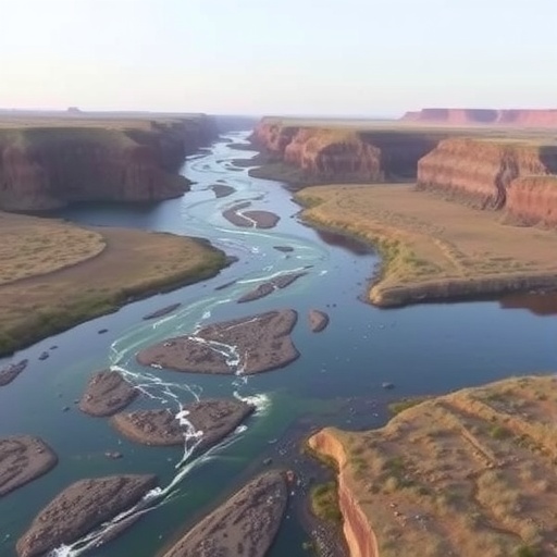
A team of Virginia Tech geoscientists has developed a satellite-based way to quantify how dams reshape river temperatures across the United States. Instead of relying solely on labor-intensive, station-by-station field measurements, the researchers used Landsat thermal infrared imagery to extract river surface temperature patterns over large geographic scales.
Their analysis targeted large dams that span the full river width and sit on waterways wider than 100 meters—conditions needed to create a detectable thermal “signal” on satellite pixels. Thermal observations were then assembled into temperature profiles extending both upstream and downstream of each dam.
The study, published in Science Advances, examined more than 250 of the largest U.S. dams over the period 2013–2024. This expanded scope is key: earlier dam–temperature studies often focused on ten or fewer sites, limiting how broadly scientists could generalize about impacts.
Across the dataset, the results echoed established findings: dams do alter downstream water temperature. Temperature differences were detected in 71% of observations, suggesting that thermal regimes are frequently disrupted rather than remaining constant year to year.
Importantly, the magnitude and direction of change were not uniform. Variations depended on factors such as dam type and seasonal context. The team also found that satellite-based measurements may reveal finer-scale effects than the dramatic downstream shifts often reported from single-dam studies.
River temperature is not just a physical metric—it is a governing parameter for aquatic ecosystems and water-quality chemistry. Warmer conditions can promote algal blooms, which can reduce dissolved oxygen and increase toxin risk. Temperature-driven timing also influences processes such as fish spawning, where thermal cues help synchronize life cycles.
The researchers argue that many dam operations prioritize hydropower, flood control, and water movement, leaving temperature as an unintended downstream consequence. A continent-scale thermal inventory can therefore inform more comprehensive river management and ecological risk assessments.
Beyond dams, the automated thermal approach could be adapted to evaluate other human-made structures that alter energy balance in rivers, including power facilities and industrial infrastructure. By scaling up observational capability, the work offers a new route to surveillance of freshwater thermal stress.
News Publication Date: 8-Jul-2026
Web References: https://www.science.org/doi/10.1126/sciadv.aeb5193
References: 10.1126/sciadv.aeb5193
Cite Scienmag News
Violet Maxwell. (July 27, 2026). Researchers Develop New Tool to Study River Temperatures Across Vast Areas. Scienmag. https://scienmag.com/researchers-develop-new-tool-to-study-river-temperatures-across-vast-areas/
Violet Maxwell. "Researchers Develop New Tool to Study River Temperatures Across Vast Areas." Scienmag, 27 July 2026, https://scienmag.com/researchers-develop-new-tool-to-study-river-temperatures-across-vast-areas/. Accessed 3 September 2026.
Violet Maxwell. "Researchers Develop New Tool to Study River Temperatures Across Vast Areas." Scienmag. July 27, 2026. https://scienmag.com/researchers-develop-new-tool-to-study-river-temperatures-across-vast-areas/


