


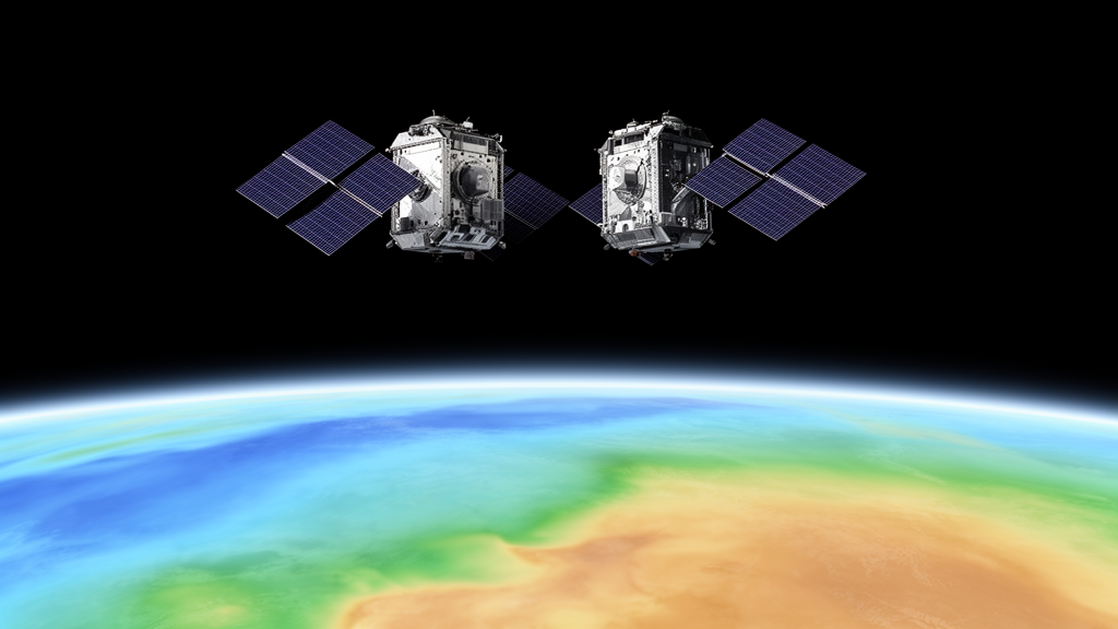
Researchers at Huazhong University of Science and Technology (HUST) have released a new static gravity field model of Earth, called HUST-Grace2026s, built from more than two decades of continuous satellite gravimetry observations. The model, described in a data description paper published in Earth System Science Data, spans April 2002 to March 2025 and is the first GRACE-era static field from the HUST group to incorporate observations from the GRACE Follow-On (GRACE-FO) mission alongside its predecessor. Resolved up to degree and order 180, corresponding to a spatial resolution of roughly 100 kilometres, the product is intended as a stable baseline against which long-term mass change on Earth can be measured.
The GRACE mission, launched in 2002 by NASA and the German Aerospace Center, opened a new window on monitoring mass transport on Earth at the accuracy of 1 centimetre equivalent water height. Its K/Ka-band microwave ranging (MWI) system monitored the intersatellite distance with range-rate accuracy at the level of micrometres per second, while GNSS receivers fixed orbital positions to a few centimetres and SuperSTAR sensors measured the non-gravitational forces acting on the satellites. Its successor, GRACE-FO, launched in 2018, carries both a microwave instrument and a laser ranging interferometer (LRI), the latter offering substantially lower systematic noise.
Most research exploiting the LRI has so far focused on short-term, time-variable gravity: monthly solutions, flood detection through line-of-sight gravity differences, and hydrological monitoring. The HUST team set out to ask a different question — what does the laser interferometer contribute to the static gravity field, the long-term mean distribution of mass? Their answer is nuanced. Simply appending current GRACE-FO observations to an existing GRACE-only processing chain, they found, offers limited improvement, because GRACE-FO currently orbits at about 500 kilometres, an altitude comparable to GRACE’s early years when sensitivity to high-degree gravity coefficients was low. The sensitivity of a geopotential coefficient of degree l scales with the factor (R/r)^(l+1), where R is Earth’s mean radius and r the orbital radius, so higher orbits suppress the short-wavelength signal that high-degree coefficients encode.
That limitation, however, is contingent on the processing chain remaining unchanged. The team introduced several refinements that proved more consequential than the added data. The most important is a stochastic model built from post-fit residuals — the differences between observations and simulated values derived from background models after a preliminary gravity solution. Rather than relying on empirical range-rate parameters to suppress the well-known one-cycle-per-revolution (1-CPR) noise effect in the ranging data, the researchers estimated autocorrelation coefficients from long residual series and used them to construct a full covariance matrix for the least-squares inversion.
Because a static field to degree 180 involves 32,757 unknowns, inverting such a system with a dense covariance matrix is computationally formidable. The team’s workaround was to derive the residuals from a time-variable gravity solution at degree and order 120, which captures most of the monthly signal, and then to combine those residuals over different time spans — monthly, yearly, or the full period. A closed-loop experiment using GRACE-FO K-band data from January 2019 to June 2023 showed that longer residual spans progressively whiten the covariance structure: off-diagonal elements shrink toward zero, and spurious correlations tied to unmodelled long-period signals, visible as distorted peaks at the satellite’s roughly 1.5-hour orbital cycle in monthly residuals, resolve into clean orbital-period peaks in the full-period case. At degree 180, the cumulative geoid error reached 0.19 metres with the full-period strategy, compared with 0.82 and 0.55 metres for the monthly and yearly strategies — reductions of 66.19 and 66.67 percent respectively.
A second refinement concerned how temporal variation is parameterised. Because the static field represents a mean over 23 years, secular trends and annual oscillations in the gravity field must be estimated simultaneously, otherwise they leak into the static coefficients as aliasing errors. The team solved static coefficients to degree 180 but truncated trend and oscillation terms at degree 60, following the strategy of the GOCO model series, with a reference epoch of 1 June 2005. Experiments on the GRACE period alone showed that estimating these rate terms reduced cumulative geoid errors by 20.30 to 51.62 percent at degree 180 relative to a nominal strategy without them, with the benefit becoming dominant beyond degree 100 — likely reflecting high-frequency non-tidal signals, such as errors in the atmosphere-ocean de-aliasing and ocean tide models, that would otherwise alias into the static solution.
The laser ranging data itself was tested in several configurations. Independent static solutions built solely from LRI1B products released by four analysis centres — the Albert Einstein Institute, NASA’s Jet Propulsion Laboratory, Sun Yat-sen University, and HUST — proved highly consistent, with cumulative geoid differences against the EIGEN-6C4 base model of 1.17 to 1.29 metres up to degree 180, and open-ocean gravity anomaly noise of roughly 19 to 21 milligals. When all data sources were combined through variance component estimation, a complementary weighting emerged: GRACE-FO LRI data supplies the principal constraint on zonal and near-zonal coefficients, contributing 0.7 to 0.8 up to about degree 90, while GRACE K-band data dominates the tesseral and sectorial coefficients at high degrees. Yet the team found the LRI benefit is strongly tied to the rate-term strategy — with trend and oscillation terms truncated at degree 60, the laser data cannot deliver its full potential, and the contribution of static and rate parameters proved strongly correlated, suggesting prior information is needed to decorrelate them.
Validation of the final model combined internal and external approaches. Internally, HUST-Grace2026s achieved accuracy comparable to Tongji-Grace02s, the best unregularized GRACE-only solution, with open-ocean gravity anomaly noise of 1.78 milligals at degree 180 — or 0.60 milligals when truncated to degree 160 for a like-for-like comparison — a marked improvement over its predecessor HUST-Grace2016s at 2.00 milligals. Externally, comparisons against GNSS-levelling data from the US National Geodetic Survey showed that at degree 180 the new model’s geoid standard deviation was reduced by 86.9 percent relative to the weakest model in the comparison, ITU-Grace16, essentially matching Tongji-Grace02s and trailing only ITSG-Grace2018s, which applies regularisation constraints to its high-degree rate terms. Against the SDUST2022GRA satellite-altimetry marine gravity reference, the new model cut gravity anomaly errors by 56.2, 52.8, and 41.1 percent relative to HUST-Grace2016s in three test ocean regions, and outperformed Tongji-Grace02s by 13.1 to 21.6 percent.
The authors are candid about the limits of their result. The modest gain from GRACE-FO data reflects not only orbital altitude but also the truncation of rate terms at degree 60 and the transplantation of accelerometer data from GRACE-C to replace thermally disturbed measurements on GRACE-D, a workaround known to degrade temporal gravity solutions. Extending rate terms to degree 180, as ITSG-Grace2018s does with regularisation, would likely unlock more of the LRI’s potential but at substantial computational cost. The team deliberately kept their solution unregularized to establish a clean GRACE-era baseline and to isolate the contribution of each data source.
For the broader community, the significance lies in continuity. Static gravity fields underpin geoid determination, satellite orbit prediction, navigation, lithospheric density modelling, and local geoid computation, and no previous GRACE-only static model included GRACE-FO observations. By seamlessly bridging the two satellite generations, HUST-Grace2026s provides the consistent reference frame that long-term mass change studies — from groundwater depletion to ice-sheet balance — require when comparing signals recorded before and after the 2017 gap between the missions. The model, including its secular and annual variation coefficients, is openly available through the ICGEM International Centre for Global Earth Models under a persistent identifier, making it immediately usable as the benchmark the authors intend it to be.
Subject of Research: A new static Earth gravity field model derived from 23 years of GRACE and GRACE-FO satellite ranging observations
Article Title: HUST-Grace2026s: a high-resolution static gravity field product from GRACE and GRACE-FO observations (2002–2025)
Article References: Zheng, L., Zhou, H., Guo, X., Zhou, Z., & Luo, Z. (2026). HUST-Grace2026s: a high-resolution static gravity field product from GRACE and GRACE-FO observations (2002–2025). Earth System Science Data, 18(10), 7697-7717. https://doi.org/10.5194/essd-18-7697-2026
Image Credits: AI Generated
DOI: 10.5194/essd-18-7697-2026
Keywords: GRACE, GRACE-FO, satellite gravimetry, static gravity field, laser ranging interferometer, geoid, Earth System Science Data, HUST, stochastic model, mass change, geodesy, spherical harmonics
Cite Scienmag News
Violet Maxwell. (October 26, 2026). New satellite gravity map blends 23 years of GRACE and GRACE-FO data into one high-resolution model. Scienmag. https://scienmag.com/new-satellite-gravity-map-blends-23-years-of-grace-and-grace-fo-data-into-one-high-resolution-model/
Violet Maxwell. "New satellite gravity map blends 23 years of GRACE and GRACE-FO data into one high-resolution model." Scienmag, 26 October 2026, https://scienmag.com/new-satellite-gravity-map-blends-23-years-of-grace-and-grace-fo-data-into-one-high-resolution-model/. Accessed 26 October 2026.
Violet Maxwell. "New satellite gravity map blends 23 years of GRACE and GRACE-FO data into one high-resolution model." Scienmag. October 26, 2026. https://scienmag.com/new-satellite-gravity-map-blends-23-years-of-grace-and-grace-fo-data-into-one-high-resolution-model/


