

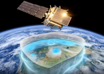
New Satellite Map Tracks Groundwater Storage Worldwide From Space
A new satellite-based data set tracks monthly groundwater storage variations worldwide from 2002 to 2023 by subtracting observed snow, soil ...
A new satellite-based data set tracks monthly groundwater storage variations worldwide from 2002 to 2023 by subtracting observed snow, soil ...
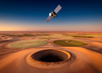
Satellite gravimetry shows Saudi Arabia lost groundwater equal to roughly 4.3 × 10² cubic kilometers from 2002 to 2024, with ...
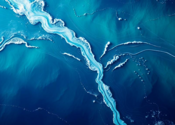
Satellite gravimetry combined with atmospheric reanalyses can estimate river discharge for 18 major Atlantic-draining rivers, and substituting these estimates for ...
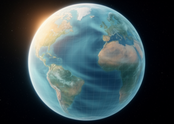
A new preprint describes Tongji-GMMG2025C, a global gravity field model combining satellite, marine, terrestrial and polar data that improves coastal ...
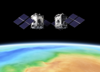
A new static gravity field model, HUST-Grace2026s, combines 23 years of GRACE and GRACE-FO satellite observations to map Earth's mass ...
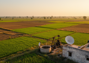
Researchers have mapped specific yield across India by combining GRACE satellite gravity data with quality-controlled groundwater level measurements, revealing regional ...
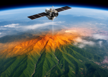
A new study combining GRACE satellite gravity data, GNSS, InSAR, and seismic records finds that nearly all seismic energy along ...
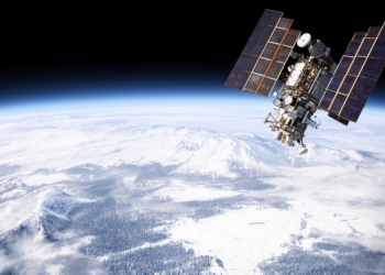
A new dataset fuses satellite gravity measurements with meteorological data to reconstruct two decades of snow water equivalent, depth, and ...
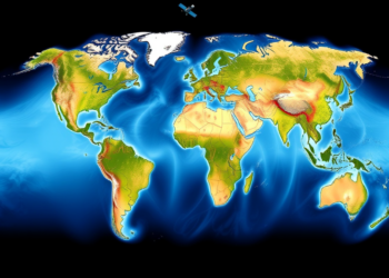
A new satellite-based method using GRACE-constrained GLDAS-CLSM data provides the first globally consistent estimate of groundwater recharge, totaling about 16,081.5 ...
Researchers at the University of Isfahan compared three water balance formulations against downscaled GRACE satellite gravity data and found that ...


Embark on a thrilling journey of discovery with Scienmag.com—your ultimate source for cutting-edge breakthroughs. Immerse yourself in a world where curiosity knows no limits and tomorrow’s possibilities become today’s reality!