


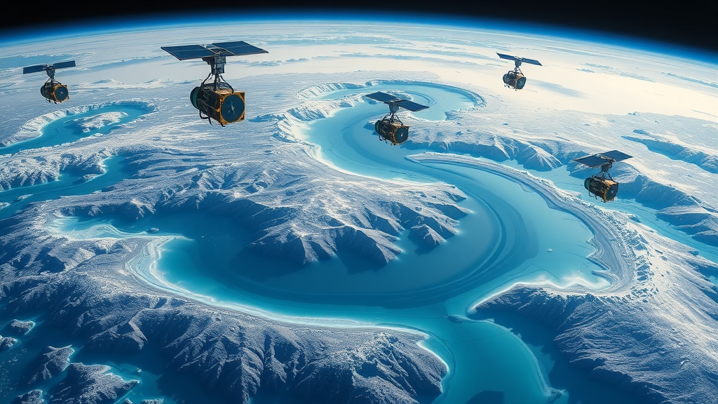
Water is the resource the world can least afford to miscount, and for two decades the GRACE satellite missions have offered a tantalizing way to weigh it from space. By measuring minute variations in Earth’s gravity field, the twin spacecraft of the Gravity Recovery and Climate Experiment, and now its successor GRACE Follow-On, track changes in terrestrial water storage: the combined water held in snow, soil moisture, surface water bodies and aquifers. But GRACE has an awkward problem. Its footprint is enormous, spanning hundreds of kilometers, while water managers, farmers and city engineers need numbers at the scale of a single basin or irrigation district. A new study published in Water Resources Management tackles a second, subtler problem that has plagued hydrologists for just as long: when you write out the terrestrial water balance on paper, which formulation actually matches what the satellites see?
The research, led by Mohammadali Alijanian, Narjes Salmani-Dehaghi and Hamed Yazdian of the University of Isfahan, addresses a question that sounds almost trivially simple until you realize how much rides on the answer. The water balance of a landscape can be expressed in several mathematically defensible ways. You can treat storage change as the sum of surface water and groundwater changes. You can compute it as precipitation minus evapotranspiration and runoff. Or you can take that three-variable formulation and adjust it to account for groundwater withdrawals, the water pumped out of aquifers that may never show up as streamflow. Each version is internally consistent, yet each can yield dramatically different estimates of how fast a region is draining or refilling its water reserves.
Disentangling this ambiguity required serious data engineering. The team first confronted GRACE’s coarse resolution, roughly 150,000 to 200,000 square kilometers per pixel, far too broad for local water management. They downscaled the satellite observations to a much sharper 0.25-degree grid, approximately 25 to 30 kilometers, using a Spatially Promoted Support Vector Machine, or SP-SVM, model. This machine learning approach, previously developed by the same group, fuses ground-based and satellite datasets to sharpen the gravity signal without drowning it in noise. The downscaled estimates were then compared against independent in-situ observations across four sub-basins, giving the researchers a rigorous test bed spanning the years 2005 to 2020.
Against these data, the team pitted three candidate formulations of water balance change, which they abbreviated WB-SG, WB-3V and WB-4V. WB-SG simply adds up changes in surface water and groundwater storage. WB-3V calculates storage change as precipitation minus evapotranspiration and runoff, the classic flux-based approach. WB-4V extends that framework by adjusting for groundwater withdrawal, acknowledging that in heavily pumped basins, extraction itself is a significant term in the ledger. The trio then evaluated all three formulations at both monthly and annual timescales, deploying two of hydrology’s workhorse statistical tools: the Mann-Kendall trend test and Sen’s slope estimator, applied to both original and detrended series to separate long-term signals from seasonal cycles.
The verdict was clear. The three-variable formulation, WB-3V, proved the most accurate match to GRACE-derived water balance change. In the monthly analysis using the original, untrended data, WB-3V achieved coefficients of determination ranging from 0.56 to 0.63, with root mean square errors between 5.12 and 11.08 centimeters of equivalent water height. Its rival WB-SG performed dismally by comparison, explaining almost none of the variance with R-squared values of just 0.03 to 0.08 and errors that ballooned to nearly 20 centimeters in some sub-basins. The contrast matters because the flux-based approach inherently captures the full hydrological cycle, whereas a simple sum of surface and groundwater changes omits soil moisture and snowpack, two reservoirs that dominate storage variability in semi-arid regions.
One of the study’s most methodologically interesting findings concerns detrending. When the researchers stripped out long-term trends from the time series before analysis, the root mean square error dropped significantly for every formulation tested. This makes physical sense: persistent trends, such as steady aquifer depletion driven by years of over-pumping, can mask the seasonal and interannual fluctuations that GRACE and ground observations share. By isolating the variability around the trend, the agreement between satellite and in-situ estimates sharpened, suggesting that trend contamination has been quietly degrading water balance comparisons in previous studies. For analysts auditing drought-prone basins, detrending may be a cheap and powerful preprocessing step.
The practical payoff goes beyond picking a winner among three equations. The authors demonstrate that GRACE can more effectively estimate unrecorded terrestrial water balance changes by applying adjustment coefficients derived from the statistical relationship between the GRACE-based water balance and the WB-3V formulation. In regions where hydrological records are sparse, politically fragmented or simply never collected, this offers a way to reconstruct the missing ledger from orbit. That is a tantalizing prospect for arid and semi-arid basins in the Middle East, Central Asia and beyond, where unregistered groundwater extraction runs into billions of cubic meters per year and confounds every conventional accounting method.
The study is also a reminder of how much the GRACE enterprise has matured since the satellites launched in 2002. Early applications treated the gravity data as a blunt instrument, good for continent-scale assessments of ice loss and major aquifer decline. Today, downscaled products can interrogate sub-basin dynamics, and machine learning frameworks like SP-SVM have made the transition from research curiosity to operational tool. The Isfahan-based team, working in one of the world’s most water-stressed countries, embodies that shift: their analyses lean on decades of accumulated ground truth, refined satellite retrievals and careful statistical hygiene to turn a noisy planetary scale reading into something a water manager can act on.
For the broader hydrology community, the message is that formulation choice is not a formality. Researchers combining GRACE data with precipitation, evapotranspiration and runoff products must consciously choose how they define storage change, and the wrong choice can silently undermine their conclusions. The four-variable version, adjusted for groundwater withdrawal, did not win the accuracy contest here, but the study’s framework shows how such adjustments could be tuned regionally through calibration coefficients. As GRACE Follow-On extends the gravity record and downscaling techniques push effective resolution ever finer, identifying the right water balance formulation becomes a foundational question for anyone trying to close the water budget in a warming, increasingly thirsty world.
Subject of Research: Identifying the most accurate terrestrial water balance formulation using downscaled GRACE satellite gravity data
Article Title: Identifying the Terrestrial Water Balance Formulation Using Downscaled GRACE Data
Article References: Alijanian, M., Salmani-Dehaghi, N., & Yazdian, H. (2026). Identifying the Terrestrial Water Balance Formulation Using Downscaled GRACE Data. Water Resources Management, 40(11), Article 523. https://doi.org/10.1007/s11269-026-04664-6
Image Credits: AI Generated
DOI: 10.1007/s11269-026-04664-6
Keywords: GRACE, terrestrial water storage, water balance, satellite gravimetry, SP-SVM downscaling, groundwater, evapotranspiration, runoff, Mann-Kendall test, Sen's slope, machine learning, hydrology
Cite Scienmag News
Violet Maxwell. (September 12, 2026). Satellite Gravity Data Reveal the Right Way to Balance a Region’s Water. Scienmag. https://scienmag.com/satellite-gravity-data-reveal-the-right-way-to-balance-a-regions-water/
Violet Maxwell. "Satellite Gravity Data Reveal the Right Way to Balance a Region’s Water." Scienmag, 12 September 2026, https://scienmag.com/satellite-gravity-data-reveal-the-right-way-to-balance-a-regions-water/. Accessed 4 October 2026.
Violet Maxwell. "Satellite Gravity Data Reveal the Right Way to Balance a Region’s Water." Scienmag. September 12, 2026. https://scienmag.com/satellite-gravity-data-reveal-the-right-way-to-balance-a-regions-water/


