


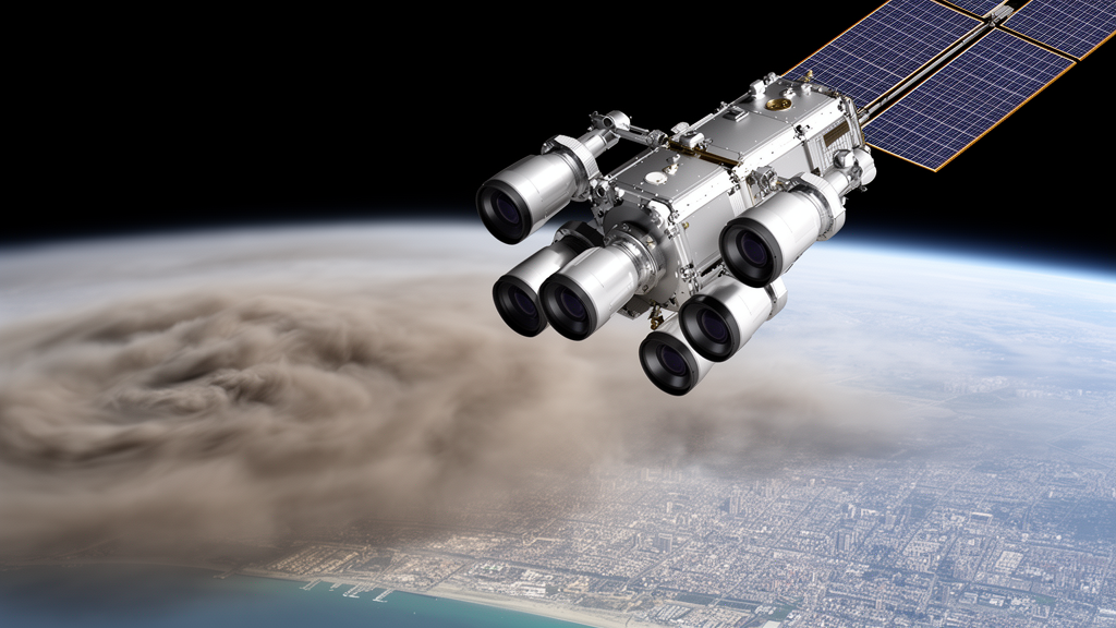
For more than two decades, a camera perched aboard NASA’s Terra satellite has been quietly photographing Earth from nine different angles at once, and scientists have now unlocked a way to turn that unique vantage point into one of the most detailed global records of airborne particle pollution ever assembled. In a new study published in Atmospheric Measurement Techniques, researchers led by Michael Anstett, James A. Limbacher, and Ralph A. Kahn describe the MISR Research Product Algorithm, or MRPA, a fully automated engine that transforms raw multi-angle imagery from the Multi-angle Imaging SpectroRadiometer into pixel-level maps of aerosol amount and type at a crisp 1.1 kilometer resolution. The achievement matters because tiny airborne particles, known as aerosols, are among the most consequential and least well understood players in both climate change and public health, shaping cloud formation, dimming or warming the atmosphere, and clogging human lungs from wildfire zones to megacity streets.
What makes MISR extraordinary among Earth-observing instruments is its geometry. Flying on Terra, the flagship spacecraft of NASA’s Earth Observing System, the push-broom imager has been collecting radiance data since late February 2000, viewing the planet at nine angles ranging from straight down to 70.5 degrees fore and aft along the flight path, in four spectral bands centered at 446, 558, 672, and 866 nanometers. Because aerosol particles scatter and absorb light differently depending on the angle of observation, this multi-angle approach can constrain particle size, shape, and light-absorbing properties in ways that single-view imagers simply cannot. The instrument covers the globe roughly once a week, and even though Terra began constellation exit procedures in October 2022, MISR leaves behind a legacy of more than 24 years of multi-angle, multi-spectral observations of the entire planet.
The new MRPA is the culmination of a long-running parallel effort. NASA’s operational MISR Standard Algorithm, currently at version 23, was designed from the start to run automatically on the entire dataset, producing aerosol retrievals at 4.4 kilometer resolution. Alongside it, the research team built the MISR Research Algorithm, a more experimental code designed to push the sensitivity of the retrieval further, exploring innovations such as corrections for radiometric calibration errors like flat-field anomalies and ghosting in high-contrast scenes, and improved performance over shallow, turbid, and biologically productive waters. The catch was that the research algorithm demanded considerable hands-on user involvement and could only be run case by case, on limited subsets of data. The MRPA changes that equation by streamlining and automating the research approach so that any user can generate research-quality results across most of the MISR data record, spanning February 2000 through October 2022.
At the heart of the algorithm lies a clever dual strategy for dealing with the hardest problem in satellite aerosol retrieval: separating the signal of particles in the air from the light reflected by the ground below. The Retrieved-Surface Algorithm solves for surface reflectance self-consistently along with the aerosol properties, using a shape-similarity assumption in which the angular shape of surface reflectance is treated as independent of wavelength. In the updated MRPA, the shape-similarity coefficient is now calculated exclusively from the near-infrared band, because near-infrared light penetrates the atmosphere more reliably than the shorter blue and green wavelengths, giving better constraint on the surface. The Prescribed Surface Algorithm, by contrast, takes surface brightness from an external dataset, the Multi-Angle Implementation of Atmospheric Correction product derived from NASA’s MODIS instrument, and then solves for aerosol quantities directly using a bounded-variable least squares approach. This prescribed-surface route excels precisely where the retrieved-surface method struggles, namely in high-aerosol-optical-depth cases where the thick haze itself makes it hard to pin down what the surface is doing.
The team blends the two approaches into a Combined Surface Algorithm, weighting the contributions of each according to the Normalized Difference Vegetation Index of the underlying terrain. Bright, barren landscapes such as deserts are where small errors in prescribed surface reflectance can balloon into large aerosol errors, so the new weighting scheme, tuned against an extensive validation dataset, leans more heavily on the retrieved-surface results in low-vegetation scenes. The payoff is striking: in scenes where the prescribed-surface NDVI falls below 0.1, the new combined algorithm shows a root-mean-square error 45 percent lower than the previous version, with a 43 percent lower bias. The MRPA also introduces new cloud masking interpolated to the MISR swath from the MAIAC cloud mask over land, and over deep ocean it compares 12-micrometer brightness temperatures from MODIS-Terra against MERRA-2 reanalysis sea surface temperatures, flagging pixels that run 7.5 kelvin warmer as cloudy. Column ozone for absorption corrections now comes from MERRA-2 as well, and ocean surface roughness is prescribed from Cross-Calibrated Multiplatform wind speeds.
Validation against ground truth is where the new product truly shines. The researchers compared the retrievals against the AErosol RObotic NETwork, or AERONET, a global federation of calibrated sun photometers whose direct-sun aerosol optical depth measurements carry an uncertainty of about 0.01. Using more than 75,000 over-land coincidences between February 2000 and October 2022, the combined algorithm achieved an AOD root-mean-square error of 0.088, compared with 0.154 for the MISR V23 standard product, roughly half the error, along with a correlation coefficient of 0.938 versus 0.81. The bias of 0.008 is somewhat higher than the standard product’s −0.002, one of the compromises of automation, but the overall statistical improvement is substantial. Over water, where more than 29,000 coincidences were available, the algorithm performed even better, with an RMSE of 0.069 and a correlation of 0.923, and the expected error envelope works out to roughly 17 percent of the retrieved AOD plus 0.01 over land.
Particle-type information, the real prize of multi-angle imaging, is harder to validate quantitatively because the ground-based inversion retrievals of size, sphericity, and single-scattering albedo carry their own assumptions and limitations, particularly at low aerosol load. Still, the Ångström exponent, a robust measure of particle size derived from how aerosol optical depth varies with wavelength, shows two clear clusters in the validation data, around 0.25 and 1.5, corresponding to coarse-mode dust and fine-mode smoke or pollution respectively, and the agreement with AERONET improves as aerosol loading increases, with RMSE dropping from 0.43 to 0.25 at higher AOD thresholds. When the team examined regions and seasons dominated by a single aerosol source, the retrievals behaved exactly as physics demands. Smoke-dominated scenes, once the mid-visible AOD exceeded roughly 0.2 over water and 0.7 over land, showed a preponderance of small-to-medium, spherical, light-absorbing particles with single-scattering albedo between about 0.9 and 0.975. Dust-dominated regions near the Sahara in late spring and early summer yielded distinctly larger, weakly absorbing, non-spherical particles, with the coarse-mode signal especially clear over the high-contrast backdrop of dark ocean water.
The research algorithm behind the MRPA has already proven its worth in a remarkable range of scientific applications, from characterizing the properties and evolution of wildfire smoke plumes across North America, Alaska, and Siberia, to tracking volcanic eruption plumes including the catastrophic 2022 Hunga Tonga-Hunga Ha’apai event, to air quality assessments and studies of how dust particles age and change during trans-Atlantic transport. With the algorithm now automated, publicly released, and archived for general use, researchers anywhere can run it on any portion of the MISR archive that interests them, opening the door to systematic studies of how particle properties vary and evolve across the entire 22-year record rather than only in hand-picked case studies. The code’s availability marks a shift from a specialist tool requiring expert knowledge to a community resource.
The broader significance of this work lies in what it preserves and what it promises. As single-view instruments like MODIS have built their own long aerosol records, MISR’s multi-angle perspective offers a complementary and uniquely information-rich dataset, one that can distinguish, for example, a plume of absorbing smoke from a layer of scattering desert dust even when both produce similar optical depths. The compromises required to automate the research algorithm do come at a cost, with somewhat diminished particle-type sensitivity compared to the fully manual version, and the MRPA is currently configured to process data only through October 2022 to maintain continuity with its calibration corrections, though new Level 1 radiance products accounting for Terra’s orbit drift are planned. Even so, with about half the retrieval error of the operational standard product, four times finer pixel resolution, and demonstrated ability to separate smoke from dust by size, shape, and absorption, the MRPA hands atmospheric scientists a powerful new lens on the invisible particles that shape our climate and our air, and it ensures that the full scientific value of one of NASA’s most inventive instruments will be realized for years to come.
Subject of Research: Automated multi-angle satellite retrieval of global aerosol optical depth and particle properties from MISR
Article Title: The MISR Research Product Algorithm – producing global, self-consistent, pixel-level aerosol retrievals for the Multi-angle Imaging SpectroRadiometer
Article References: Anstett, M., Limbacher, J. A., & Kahn, R. A. (2026). The MISR Research Product Algorithm – producing global, self-consistent, pixel-level aerosol retrievals for the Multi-angle Imaging SpectroRadiometer. Atmospheric Measurement Techniques, 19(20), 6503-6516. https://doi.org/10.5194/amt-19-6503-2026
Image Credits: AI Generated
Keywords: MISR, aerosol retrieval, Terra satellite, NASA, AERONET, aerosol optical depth, remote sensing, wildfire smoke, mineral dust, air quality, atmospheric measurement, multi-angle imaging
Cite Scienmag News
Russell Cooper. (October 16, 2026). NASA’s Multi-Angle Camera Now Maps Air Pollution Particle by Particle at Unprecedented Detail. Scienmag. https://scienmag.com/nasas-multi-angle-camera-now-maps-air-pollution-particle-by-particle-at-unprecedented-detail/
Russell Cooper. "NASA’s Multi-Angle Camera Now Maps Air Pollution Particle by Particle at Unprecedented Detail." Scienmag, 16 October 2026, https://scienmag.com/nasas-multi-angle-camera-now-maps-air-pollution-particle-by-particle-at-unprecedented-detail/. Accessed 16 October 2026.
Russell Cooper. "NASA’s Multi-Angle Camera Now Maps Air Pollution Particle by Particle at Unprecedented Detail." Scienmag. October 16, 2026. https://scienmag.com/nasas-multi-angle-camera-now-maps-air-pollution-particle-by-particle-at-unprecedented-detail/


