


Satellite Images Validate Contrail Formation Models
A new study uses high-resolution satellite imagery to validate contrail formation models, finding 98.3% agreement when using in situ aircraft ...
A new study uses high-resolution satellite imagery to validate contrail formation models, finding 98.3% agreement when using in situ aircraft ...

A new study in Atmospheric Measurement Techniques finds that whole air reference materials remain superior for high-precision greenhouse gas monitoring, ...
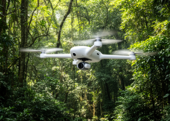
Atmospheric researchers deployed an instrumented hexacopter drone over a subtropical forest in southern China to quantify three-dimensional carbon dioxide exchange, ...
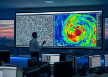
A U-net trained entirely on synthetic radar images outperforms the operational clutter-filtering method used by Deutscher Wetterdienst on expert-labeled test ...
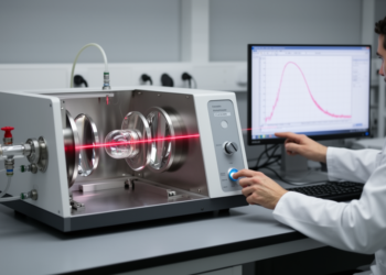
German and NASA researchers have validated a fast quantum cascade laser spectrometer that measures nitrous oxide with sub-ppb precision from ...
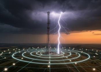
A 14-year study of 257 tall structures across Europe validates the EUCLID lightning detection network, finding a median location accuracy ...
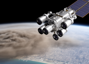
Scientists have automated NASA's multi-angle MISR research aerosol retrieval into the MRPA, delivering validated 1.1 km global maps of aerosol ...
Researchers in China have shown that adding a simulated W-band constraint to dual-frequency radar measurements resolves a long-standing ambiguity in ...
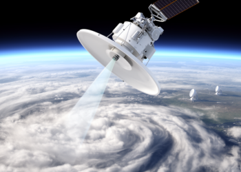
A statistical comparison with seven calibrated ACTRIS ground radars finds EarthCARE's cloud profiling radar is biased by only -0.2 plus ...
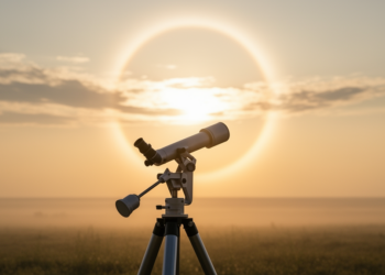
NASA AERONET researchers have developed a cloud screening algorithm that detects thin cirrus clouds by identifying sharp spikes in the ...


Embark on a thrilling journey of discovery with Scienmag.com—your ultimate source for cutting-edge breakthroughs. Immerse yourself in a world where curiosity knows no limits and tomorrow’s possibilities become today’s reality!