

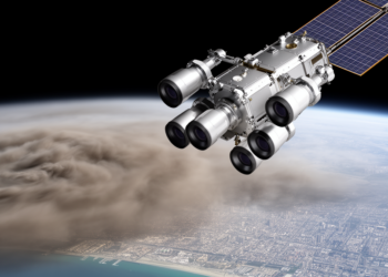
NASA’s Multi-Angle Camera Now Maps Air Pollution Particle by Particle at Unprecedented Detail
Scientists have automated NASA's multi-angle MISR research aerosol retrieval into the MRPA, delivering validated 1.1 km global maps of aerosol ...
Scientists have automated NASA's multi-angle MISR research aerosol retrieval into the MRPA, delivering validated 1.1 km global maps of aerosol ...

A study of nearly 90 million hospitalizations across 20 US states finds that wildfire-specific PM2.5 carries a higher per-unit risk ...
Researchers introduced TRAILS, a framework that combines satellite observations with trajectory modeling to dynamically attribute long-range transported wildfire smoke by ...
A new Science Advances analysis finds that 55.9% of the global population faced rising co-exposure to heatwaves and landscape fire ...
A $1 million NSF-funded Washington University team will use physics-informed generative AI and causal statistics to isolate how wildfire-smoke aerosols ...
A new algorithm called CONIOPOL turns a standard polarization-enabled ceilometer into a real-time classifier of dust, smoke, clouds, and precipitation, ...
Researchers have developed a computationally efficient parametric method that forecasts wildfire smoke uncertainty directly within an operational air quality model, ...
Colorado State University researchers have developed an open-source, $100 collar-mounted smoke logger that measures PM2.5 exposure in wild animals, revealing ...
UL Research Institutes' Chemical Insights will present research on electric vehicle fire emissions, wildfire smoke, 3D printing resins and consumer ...
A new review in Pediatric Research synthesizes two decades of evidence showing that climate change intensifies air pollution, temperature extremes ...

Embark on a thrilling journey of discovery with Scienmag.com—your ultimate source for cutting-edge breakthroughs. Immerse yourself in a world where curiosity knows no limits and tomorrow’s possibilities become today’s reality!