


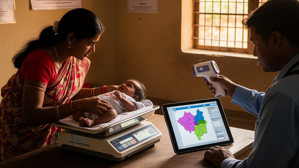
Low birth weight was strongly concentrated across Indian districts in a cross-sectional ecological analysis of national survey data, with estimated prevalence ranging from 0.7% in Kohima, Nagaland, to 36.6% in Dantewada, Chhattisgarh. Districts with similar prevalence tended to be geographically close, and higher mean annual temperature remained associated with low birth weight after the researchers accounted for spatial dependence. The study examined district-level patterns and cannot establish that temperature, maternal health conditions or other measured factors caused individual cases of low birth weight.
Researchers analyzed birth data from India’s fifth National Family Health Survey, conducted in 2019–2021. They derived district-level low-birth-weight prevalence from the survey and combined it with mean annual temperature obtained from the DHS Geospatial Covariates dataset. Temperature-related analyses covered 706 districts; Lakshadweep was excluded because mean annual temperature data were unavailable. Across the analyzed districts, mean estimated low-birth-weight prevalence was 17.15%. At the state level, Punjab recorded the highest prevalence at 22.4%, while Mizoram recorded the lowest at 4.0%. These figures describe geographic variation in the survey period rather than changes over time.
The researchers tested whether low-birth-weight prevalence formed recognizable geographic clusters using global Moran’s I and Anselin’s Local Moran’s I. The global statistic was 0.572, with p < 0.001, indicating statistically significant spatial autocorrelation: districts with similar low-birth-weight prevalence tended to be near other districts with similar prevalence. High-High clusters formed a contiguous belt across Rajasthan, Madhya Pradesh and Gujarat, while Low-Low clusters were identified in Jammu and Kashmir, Ladakh and northeastern states. The analysis therefore identified concentrations of both higher and lower prevalence at district level, but it did not establish how long those patterns persisted or whether the same districts remained clusters in later periods.
The authors then estimated ordinary least-squares, Spatial Lag and Spatial Error models using district-level climate, socioeconomic and maternal-health variables. The Spatial Error Model was selected as the preferred model based on the Akaike Information Criterion, Schwarz criterion and log-likelihood values. It confirmed significant spatial dependence, with a spatial error parameter of λ = 0.652 and p < 0.001. In that model, higher mean annual temperature was positively associated with low birth weight, with a coefficient of 0.181 and p = 0.023. Maternal anaemia was also positively associated with the outcome, with a coefficient of 0.086 and p < 0.001, as was maternal underweight, with a coefficient of 0.144 and p < 0.001.
Two additional positive associations emerged for winter births and institutional delivery. Winter births had a coefficient of 0.174 with p = 0.042, while institutional delivery had a coefficient of 0.067 with p = 0.005. Adequate antenatal care coverage was negatively associated with low birth weight, with a coefficient of −0.048 and p < 0.001. These are district-level statistical associations rather than evidence that any factor increased or reduced an individual infant’s risk. In particular, the institutional-delivery coefficient does not show that institutional care increases risk, and the significant spatial error term indicates residual spatial correlation rather than establishing a specific mechanism connecting neighboring districts. Because the study used aggregated survey and geospatial data, it could not determine whether individual infants exposed to higher temperatures or maternal nutritional deficiencies were more likely to be born with low weight than comparable unexposed infants. The findings identify pronounced geographic clustering and a temperature association that remained after spatial adjustment, while the cross-sectional ecological design limits interpretation of the relationship as causal.
Subject of Research: District-level spatial patterns and correlates of low birth weight in India
Article Title: Spatial patterns and correlates of low birth weight in India: a climate and health perspective
Article References: Let, S., Jayaraj, V., Gnanasekaran, S., Mohan, G., & Rajendran, V. (2026). Spatial patterns and correlates of low birth weight in India: a climate and health perspective. BMC Public Health. https://doi.org/10.1186/s12889-026-29955-w
Image Credits: AI Generated
DOI: 10.1186/s12889-026-29955-w
Keywords: low birth weight, India, climate, temperature, spatial analysis, maternal anaemia, maternal underweight, antenatal care, public health, NFHS-5, Spatial, patterns
Cite Scienmag News
Harold Sullivan. (October 26, 2026). Indian district survey maps low birth weight, temperature and health. Scienmag. https://scienmag.com/indian-district-survey-maps-low-birth-weight-temperature-and-health/
Harold Sullivan. "Indian district survey maps low birth weight, temperature and health." Scienmag, 26 October 2026, https://scienmag.com/indian-district-survey-maps-low-birth-weight-temperature-and-health/. Accessed 26 October 2026.
Harold Sullivan. "Indian district survey maps low birth weight, temperature and health." Scienmag. October 26, 2026. https://scienmag.com/indian-district-survey-maps-low-birth-weight-temperature-and-health/


