


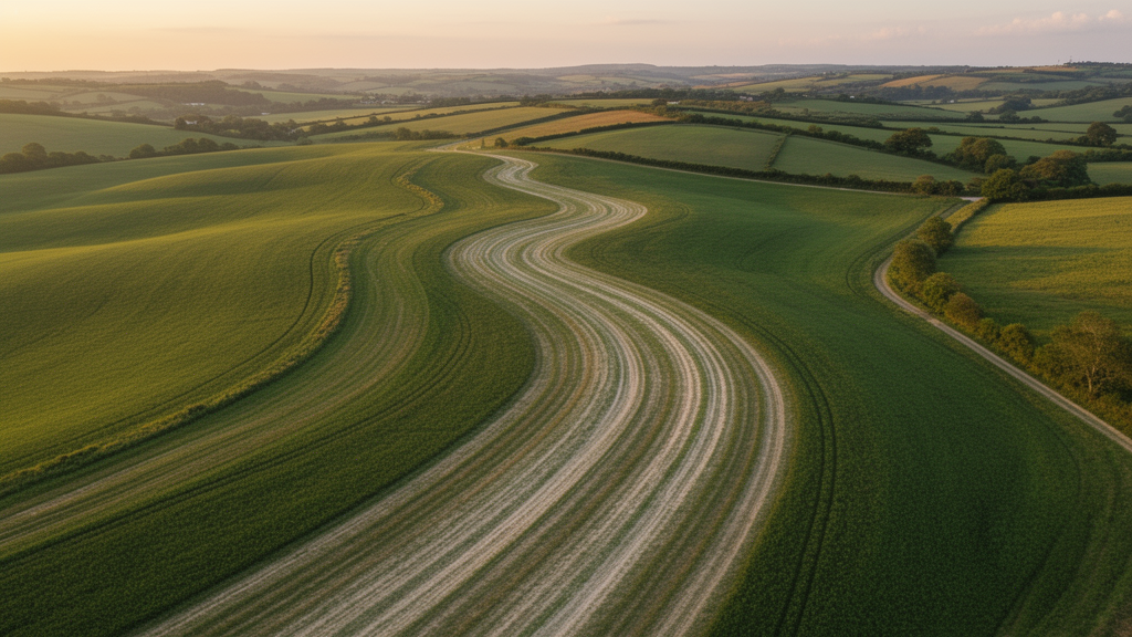
From orbit, the field near Viernheim in southwestern Germany looks almost unremarkable: a flat stretch of farmland between Mannheim and Heidelberg, crossed by faint stripes of pale, sickly vegetation that come and go with the seasons. But those ghostly lines, visible in satellite images spanning nearly twenty-five years, have turned out to be the fingerprint of a forgotten industrial operation. A team of geographers, geophysicists, and archivists led by Felix Henselowsky of Johannes Gutenberg University Mainz and Annette Kadereit and Max Engel of Heidelberg University has now shown that the stripes mark the buried remains of clay pits dug by hand around 1865, hidden inside the silted-up meander of a river that abandoned this landscape more than ten thousand years ago. The study, published in E&G Quaternary Science Journal, weaves together satellite imagery, sediment cores, geophysics, luminescence dating, and dusty archival documents into a detective story that connects a single muddy field to one of the largest engineering projects in European history.
The stripes run across a parcel of land known as the Rindlache, part of the former course of the Bergstraßenneckar, a now-inactive channel of the lower Neckar River. During the late glacial period, beginning roughly 14,500 years ago, the Neckar did not take its modern direct route to the Rhine near Mannheim. Instead, it flowed northward across its alluvial fan, parallel to the forested flank of the Odenwald mountains, and joined the Rhine about fifty kilometers further upstream at Trebur. When the river abandoned this course at the transition to the Holocene, it left behind a chain of crescent-shaped paleo-meanders, some up to 150 meters wide and four meters deep, which can still be traced in the terrain and even in modern property boundaries and roads. Over thousands of years, the abandoned channels slowly filled with carbonate-rich mud, peat, and clay, becoming waterlogged swamps that persisted into historical times.
It was precisely this waterlogging that made the Rindlache such an unlikely place for mining. The name itself is a clue: “Lache” refers to the standing water that pooled in the depression, while “Rind” recalls its use as cattle pasture. In a landscape dominated by the sands and gravels of the Rhine and Neckar, the fine-grained organic-rich clays of the silted-up channel were a rare and valuable resource. But for most of history, the high groundwater table made digging into them practically impossible. The new study demonstrates that the excavation only became feasible after the great river regulation campaigns of the nineteenth century, initiated by the engineer Johann Gottfried Tulla between 1817 and 1882, which straightened and shortened the Rhine, caused the river to incise by up to ten meters, and dragged the regional groundwater table down with it. That distant, landscape-scale intervention quietly drained the swamps of the old meanders and unlocked their buried clay.
The investigation began with vegetation. Comparing multi-temporal satellite images from 2000, 2015, 2018, and 2019, the researchers noticed a consistent pattern of pale-green and yellowish stripes running south-southwest to north-northeast across an area of roughly 100 by 50 meters. The stripes reflect differences in moisture: the fine-grained natural floodplain sediments hold water differently than the medium sand that fills the buried trenches, and crops growing over the sand-filled features show reduced vitality in dry periods. A high-resolution digital elevation model added another clue, showing that the striped surface sits about forty centimeters above the neighboring channel floor. To peer beneath the surface, the team deployed electrical resistivity tomography, running a transect perpendicular to the anomalies. The profile revealed nine circular high-resistivity anomalies, one beneath each stripe, embedded in the low-resistivity clayey and organic layers of the channel fill, reaching down about seven meters.
Two hand-dug pits, each up to 1.7 meters deep, then exposed the stratigraphy directly. The undisturbed sequence reads like a condensed history of the Holocene. At the base lies a nearly white, carbonate-rich sandy silt interpreted as gyttja, the limnic ooze that accumulated on the floor of the abandoned channel during the Preboreal and Boreal periods. Above it sits a black peat, extraordinarily rich in organic matter at around seventy percent loss on ignition, marking the final silting-up of the meander. Higher still, organic-rich black clays record a distal floodplain phase fed by floods of the still-active Neckar, with the researchers suggesting that soil erosion triggered by early Neolithic forest clearing, and later by the Michelsberg and Corded Ware cultures, may have supplied the dark sediment. Gastropod shells scattered through these layers point to an open, amphibious floodplain environment, while a zone of secondary carbonate precipitation, locally known as “Rheinweiß,” preserves the memory of a once-fluctuating groundwater table.
Cutting violently through this natural sequence are the trenches themselves: massive, unstratified bodies of medium sand containing angular clasts of the surrounding mud, sharp boundaries, and even drapes of clay scraped from the trench walls during backfilling. Microscopic analysis of the sand grains provided the key to their origin. The quartz grains are well-rounded to very well-rounded and frosted, identical to sand from the Bettenberg dune, a parabolic dune of Last Glacial Maximum to late-glacial age lying only about two hundred meters away. In contrast, sand from the active Neckar channel contains shiny, coated grains and calcite fragments from the river’s catchment. The conclusion was clear: the miners had hauled dune sand from the nearby Bettenberg, which even has a documented historical sand quarry at its southern edge, to refill their excavation pits immediately after digging out the clay.
Dating the backfill proved to be an elegant challenge. The team extracted quartz grains from six samples and applied optically stimulated luminescence dating, which measures how long mineral grains have been hidden from sunlight. The results were wildly scattered: depending on the aliquot and the statistical age model applied, apparent ages ranged from the Last Glacial Maximum to a mere three hundred years before present. Rather than ruining the study, this scatter became evidence in itself. When sand is shoveled quickly into a trench in lumps, many grains never see the light and retain their ancient latent signal, producing exactly the kind of dose distribution the researchers observed. The youngest apparent ages, around three hundred to four hundred years, set a maximum bound on the filling event, while the true age of the operation had to be far more recent.
The decisive answer came from the Hesse State Archive in Darmstadt. Among files on Viernheim’s brickyards, the researchers found a license dated 1 June 1865, granted for a brickworks site belonging to Peter Minnig, with an attached plan whose parcels could be matched to the modern cadastral map. The former parcel number 33, registered to Minnig, covers precisely the striped anomalies of today’s parcel 153. The license conditions state that the clay substrate would be excavated in the center of the plot and the pits refilled immediately, with bricks stacked and fired with stone coal nearby. Every line of the archival document matches the physical evidence: the manual trenching, the immediate backfill with dune sand, and the depth of excavation reaching the black clay and peat layers. A hollow brick pushed into the sand infill during a 1970s land consolidation survey, and the absence of any trenching record in the 1930s soil appraisal, bracket the operation neatly between the mid-nineteenth century and the twentieth.
The broader significance of the finding lies in what it reveals about cascading human impacts. Clay mining for mud bricks is ancient in western Europe, introduced by the Romans and revived from the twelfth century onward, and the Viernheim area hosted brickworks from at least the Middle Ages, including a drowned clay pit documented in 1482. Yet the Rindlache operation stands apart because it was only made possible by a remote consequence of river engineering dozens of kilometers away. The Tulla-era regulation of the Rhine lowered groundwater across the entire Upper Rhine Graben, and without that drop below roughly one and a half meters, the sand-filled trenches would have flooded. The researchers even suggest that the narrow, sometimes discontinuous trenches, dug by workers starting at different points along a line, may have been kept slender deliberately to resist groundwater inflow. The silted-up meanders of the Bergstraßenneckar, the authors argue, are not just a natural landscape archive but a cultural one, and similar striped anomalies spotted in satellite images elsewhere in the Hessisches Ried hint that many more forgotten clay mines may still be waiting to be read from above.
Subject of Research: Historical clay mining in the silted-up paleo-channel of the late-glacial Bergstraßenneckar in the Upper Rhine Graben, Germany
Article Title: Historical clay extraction from paleo-channel deposits of the late-glacial Bergstraßenneckar in the Upper Rhine Graben, southwestern Germany
Article References: Henselowsky, F., Kadereit, A., Herzog, M., Tuczek, B., Thiemeyer, H., Bubenzer, O., & Engel, M. (2026). Historical clay extraction from paleo-channel deposits of the late-glacial Bergstraßenneckar in the Upper Rhine Graben, southwestern Germany. E&G Quaternary Science Journal, 75(1), 33-47. https://doi.org/10.5194/egqsj-75-33-2026
Image Credits: AI Generated
Keywords: Bergstraßenneckar, paleo-channel, clay mining, Upper Rhine Graben, OSL dating, electrical resistivity tomography, river regulation, groundwater lowering, brickworks, satellite imagery, geoarchaeology, fluvial anthroposphere
Cite Scienmag News
Violet Maxwell. (October 9, 2026). Ghost stripes from space reveal a forgotten 19th-century clay mine in an ancient river channel. Scienmag. https://scienmag.com/ghost-stripes-from-space-reveal-a-forgotten-19th-century-clay-mine-in-an-ancient-river-channel/
Violet Maxwell. "Ghost stripes from space reveal a forgotten 19th-century clay mine in an ancient river channel." Scienmag, 9 October 2026, https://scienmag.com/ghost-stripes-from-space-reveal-a-forgotten-19th-century-clay-mine-in-an-ancient-river-channel/. Accessed 9 October 2026.
Violet Maxwell. "Ghost stripes from space reveal a forgotten 19th-century clay mine in an ancient river channel." Scienmag. October 9, 2026. https://scienmag.com/ghost-stripes-from-space-reveal-a-forgotten-19th-century-clay-mine-in-an-ancient-river-channel/


