Integrated Space-Aerial-Ground System Pinpoints Emergency Groundwater Sources in Disaster Zones
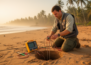
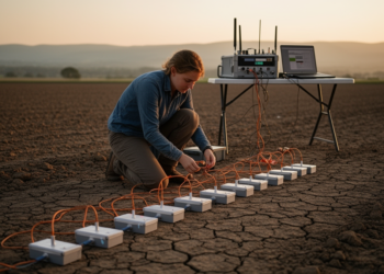
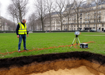
Researchers have developed an integrated Space-Aerial-Ground survey framework and WebGIS software platform that combines satellite remote sensing, drone reconnaissance, and ...