


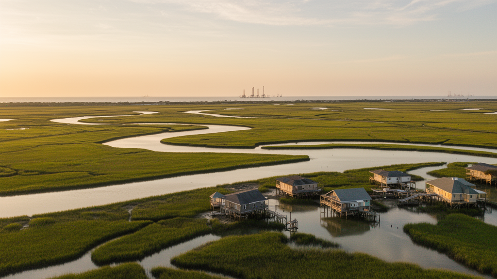
The central U.S. Gulf Coast is sinking, and the stakes could hardly be higher. This low-lying region, home to New Orleans and much of coastal Louisiana, faces some of the highest projected rates of relative sea-level rise anywhere on Earth by 2100. Whether communities can plan defenses, elevate infrastructure, or restore wetlands depends on knowing precisely how fast the ground beneath them is dropping. A new study now delivers an uncomfortable message: the satellite technique most widely trusted to measure that sinking land produces maps that, in many places, barely agree with one another.
Interferometric Synthetic Aperture Radar, or InSAR, has become the workhorse of subsidence science. By comparing radar signals returned from the same patch of ground on repeated satellite passes, InSAR can in principle map surface-elevation change across entire coastlines at fine resolution, something no network of ground instruments can match. But a team led by Guandong Li of Tulane University, together with Torbjörn E. Törnqvist and Jingyi Chen of the University of Texas at Austin, has found that two recent, independently produced InSAR datasets covering the same stretch of the Gulf Coast yield strikingly different pictures of where and how fast the land is moving.
The two datasets in question, published in 2024 by Ohenhen and colleagues and by Wang and colleagues, cover overlapping territory from Texas to western Mississippi. On paper, their headline numbers look reassuringly similar: mean surface-elevation change rates of −3.3 ± 1.8 and −2.8 ± 2.8 millimeters per year respectively. Yet when the researchers compared the maps pixel by pixel, converting the finer 50-meter resolution of one dataset to match the 1-kilometer resolution of the other, the spatial correlation between the two was almost nonexistent, with an R-squared of just 0.05. Nearly a third of the study area showed absolute differences in rate exceeding 3 millimeters per year, and 7 percent differed by more than 5 millimeters per year. A Kolmogorov-Smirnov test confirmed the two datasets follow statistically distinct distributions.
The pattern of agreement and disagreement was itself revealing. In medium to highly developed urban areas, where buildings and other hard structures act as strong, stable radar reflectors, the correlation between the two datasets rose above 0.5. In wetlands, agricultural land, and upland vegetation, it collapsed below 0.05. The explanation lies in the physics of radar scattering: dense vegetation and flooding destroy the phase coherence that InSAR depends on, while plant growth and sediment accretion mean the radar signal reflects the top of the vegetation canopy or the land surface rather than the stable foundation beneath. In such settings, InSAR measures surface-elevation change, a composite of subsidence offset by vertical accretion, rather than true vertical land motion. Independent field measurements in Louisiana’s coastal wetlands, combining rod surface-elevation tables with GNSS data, have found subsidence rates approaching −10 millimeters per year, far more negative than either InSAR dataset reports, underscoring how much of the sinking signal the satellite technique misses in vegetated landscapes.
To establish an independent benchmark, the team turned to the Global Navigation Satellite System. GNSS stations provide precise point measurements of vertical land motion, but in the Holocene sediments of coastal Louisiana their foundations, typically about 15 meters deep, sit above much of the shallow compaction, complicating interpretation. The researchers therefore focused on the Pleistocene uplands immediately inland of the coastal zone, ancient landscapes where sediment compaction and accretion are negligible and GNSS measurements can be taken as representative of the whole column. After excluding sites in Texas affected by groundwater and hydrocarbon extraction, and removing five additional sites with unusually high nearby withdrawal rates, they were left with 36 clean records averaging nearly 14 years of data.
The result was a remarkably uniform background subsidence rate of about −1.2 millimeters per year across the Pleistocene landscape. Neither InSAR dataset could reproduce it. In the portion of the uplands covered by both satellite products, the InSAR-derived mean rates clustered around −3.0 millimeters per year, significantly more negative than the GNSS benchmark, with distributional tests showing the differences were highly significant. Site-level comparisons confirmed the mismatch: one dataset was consistently offset from the GNSS values, while the other matched the averages better but correlated poorly site by site. The team also ruled out temporal variability as an explanation, showing that GNSS rates computed for 2007–2020 and 2017–2020, the respective windows of the two satellite datasets, were statistically indistinguishable.
With sediment compaction, fluid extraction, and faulting excluded, the prime suspect for the background sinking is glacial isostatic adjustment, the slow rebound of the Earth’s crust following the demise of the North American ice sheets, which tilts the Gulf Coast downward like the far end of a seesaw. Comparing the GNSS rates with two regional geophysical models, the researchers found the observations align best with a model that had been considered anomalously high when published in 2014. The implication is provocative: GIA-driven subsidence along the central Gulf Coast may be roughly twice as large as previously believed, in the neighborhood of −1.3 millimeters per year rather than −0.6. If so, some regional projections of long-term relative sea-level change may have underestimated the contribution of this deep Earth process, and the total subsidence budget of the region will need re-evaluation. Recent three-dimensional GIA modeling, which nearly doubles Gulf Coast estimates relative to simpler one-dimensional Earth models, lends further support to the higher rates.
Why do the satellite products disagree so badly? The authors point to a cascade of technical culprits. Tropospheric noise in individual interferograms over the Gulf Coast can reach 10 centimeters or more, while the signals of interest are measured in millimeters per year, demanding thousands of high-quality interferograms to average the noise down. Dense vegetation destroys coherence and limits exactly those observations. On top of that, the two studies made different processing choices: one fused L-band and C-band radar data while the other used C-band alone; they adopted different referencing strategies, coherence thresholds, phase-unwrapping methods, and atmospheric corrections. In low-coherence environments, even small variations in filtering or multi-looking can shift the resulting rates substantially. Both teams had validated their products against GNSS with reported uncertainties of roughly 1.5 to 2 millimeters per year, yet the internal inconsistencies between them far exceed those figures.
The practical consequences are immediate. Based on the differences between the two datasets even in the most reliable urban settings, the study recommends that vertical velocities below 5 millimeters per year derived from coastal InSAR be interpreted with utmost caution, and suggests an uncertainty of 5 millimeters per year for areas lacking nearby ground-truth stations. For planners deciding where to build levees, elevate roads, or prioritize wetland restoration, that margin is not trivial; it spans the difference between stable ground and meaningful hazard. The authors call for harmonized processing frameworks, standardized reporting of methods and assumptions, and systematic cross-calibration exercises modeled on successful community efforts such as the Coupled Model Intercomparison Project in climate science.
The study is a reminder that impressive maps are not the same as reliable measurements. InSAR remains an extraordinary tool, and in cities its performance is genuinely robust. But across the vegetated, subsiding deltas where the flood risk is most acute, the technique is still finding its footing. Until the discrepancies are resolved through open, reproducible pipelines and independent ground constraints, the sinking Gulf Coast will keep its secrets partially hidden, and the millions who live there will need every measurement they can trust.
Subject of Research: Evaluation of InSAR-derived surface-elevation change rates and background subsidence along the central U.S. Gulf Coast
Article Title: Evaluating InSAR-derived rates of surface-elevation change along the central U.S. Gulf Coast
Article References: Li, G., Törnqvist, T. E., & Chen, J. (2026). Evaluating InSAR-derived rates of surface-elevation change along the central U.S. Gulf Coast. Earth Observation, 1(1), 1-13. https://doi.org/10.5194/eo-1-1-2026
Image Credits: AI Generated
DOI: 10.5194/eo-1-1-2026
Keywords: InSAR, subsidence, Gulf Coast, GNSS, glacial isostatic adjustment, sea-level rise, vertical land motion, remote sensing, coastal hazards, Mississippi Delta, Sentinel-1, wetlands
Cite Scienmag News
Violet Maxwell. (October 9, 2026). Satellite Radar Maps of a Sinking Gulf Coast Tell Conflicting Stories. Scienmag. https://scienmag.com/satellite-radar-maps-of-a-sinking-gulf-coast-tell-conflicting-stories/
Violet Maxwell. "Satellite Radar Maps of a Sinking Gulf Coast Tell Conflicting Stories." Scienmag, 9 October 2026, https://scienmag.com/satellite-radar-maps-of-a-sinking-gulf-coast-tell-conflicting-stories/. Accessed 9 October 2026.
Violet Maxwell. "Satellite Radar Maps of a Sinking Gulf Coast Tell Conflicting Stories." Scienmag. October 9, 2026. https://scienmag.com/satellite-radar-maps-of-a-sinking-gulf-coast-tell-conflicting-stories/


