


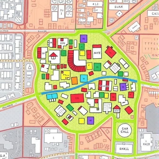
In the rapidly urbanizing world, informal settlements—often referred to as slums—pose complex challenges for urban planners, policymakers, and social scientists alike. These densely populated and informally constructed neighborhoods are frequently excluded from conventional urban management systems due to their irregular layouts and elusive spatial boundaries. A breakthrough study published in npj Urban Sustainability by Liu, Jang, Dimitrov, and their colleagues introduces an innovative methodology to decipher the intricate internal structures of informal settlements through artificial intelligence-powered automated segmentation of LiDAR data. This pioneering approach promises to transform how these urban spaces are analyzed, understood, and eventually integrated into formal urban planning frameworks.
The research addresses a fundamental obstacle in urban sustainability: the difficulty in accurately mapping and characterizing informal settlements, which are often invisible or inadequately represented in official records and satellite imagery. Traditional remote sensing techniques fall short because they cannot effectively capture the fine-grained geometric and structural complexity intrinsic to these settlements. By leveraging high-resolution LiDAR (Light Detection and Ranging) data combined with deep learning algorithms, the study ushers in a new era of urban morphological analysis that goes beyond superficial outlines to reveal the three-dimensional spatial configuration of these communities.
LiDAR technology emits laser pulses towards the ground from an aerial platform, measuring the time delay of reflected signals to produce highly precise three-dimensional representations of the surface. Such data contain copious spatial information about buildings, vegetation, and terrain, providing an unparalleled vantage point from which to decode urban morphology. However, due to the heterogeneous and labyrinthine nature of informal settlements, manual interpretation of such data is prohibitively labor-intensive and spatially inconsistent. The team has overcome this bottleneck by developing an AI-driven framework that automates the segmentation process, converting raw LiDAR point clouds into meaningful building footprints and internal structural components.
Central to their methodology is an advanced neural network architecture tailored for point cloud data, capable of discerning subtle spatial patterns amidst the noisy background typical of informal urban fabrics. The model utilizes supervised learning with labeled datasets curated from multiple global informal settlements, enhancing its generalizability across diverse geographical contexts. This approach enables the extraction of detailed internal building subdivisions—such as rooms, courtyards, and access paths—that collectively provide a microscopic view of settlement morphology previously unattainable at scale.
The implications of this study extend far beyond academic curiosity. With detailed internal morphologies now discernible, urban planners can devise targeted interventions to improve infrastructure, sanitation, and disaster resilience within informal settlements. For instance, knowing the precise distribution of narrow alleys and communal spaces can inform the placement of emergency exits or water supply points, whereas structural insights may highlight the most vulnerable housing units prone to collapse. This newfound spatial intelligence thus equips governments and NGOs with actionable data essential for transforming marginalized urban zones into healthier, safer, and more sustainable habitats.
Moreover, the automated framework facilitates temporal monitoring of informal settlements, offering a dynamic lens through which urban growth patterns, densification trends, and informal expansions can be tracked over time. This temporal dimension is critical as many informal neighborhoods undergo rapid, unregulated changes influenced by socio-economic pressures and migration flows. Continuous monitoring empowers proactive rather than reactive urban governance, allowing for early detection of hazardous encroachments or infrastructure deficits and enabling timely policy responses.
From a technological standpoint, the fusion of LiDAR with artificial intelligence presents both challenges and opportunities. The heterogeneous density of point clouds and occlusion effects from adjacent structures introduce complexities that demand sophisticated preprocessing and feature extraction strategies. The researchers have incorporated data augmentation techniques and loss function optimizations to enhance model robustness, ensuring accurate segmentation despite these hurdles. Furthermore, their end-to-end pipeline optimizes computational efficiency, making large-scale mapping initiatives feasible within manageable timeframes and resource constraints.
Importantly, the study contributes to democratizing high-resolution urban data by proposing a scalable, transferable solution adaptable to informal settlements worldwide, which often lack sufficient resources for expensive surveys or manual mapping efforts. By automating complex data interpretation, the approach paves the way for broader inclusion of marginalized urban communities in sustainable development agendas, aligning with United Nations Sustainable Development Goals focused on resilient cities and equitable urbanization.
The team also engaged in multidisciplinary collaboration, integrating expertise from urban studies, computer vision, remote sensing, and social sciences to enrich the research framework. This holistic approach ensured that the technological innovations were grounded in social realities and usability considerations, fostering a model that is as relevant for field practitioners as it is for academic explorations.
Ethical considerations regarding privacy and data sensitivity were carefully addressed. Although LiDAR scans inherently obfuscate individual identities, the researchers adopted stringent data governance protocols, anonymizing sensitive information and ensuring compliance with local data protection regulations. They underscored the necessity of community participation and transparency, advocating for ethical standards that empower residents rather than inadvertently marginalize them further.
The researchers anticipate future enhancements, such as integrating this framework with other sensing modalities like hyperspectral imaging or ground-based surveys, to enrich semantic understanding of informal settlements. Such multimodal approaches could enable simultaneous assessment of building materials, environmental hazards, and social amenities, fostering a comprehensive urban diagnostic tool.
In conclusion, Liu and colleagues’ research constitutes a landmark advancement in urban remote sensing applications, demonstrating how artificial intelligence combined with cutting-edge LiDAR data can unravel the enigmatic spatial fabric of informal settlements. This breakthrough holds substantial promise for bridging the data gap that has long hindered sustainable development in these critical yet overlooked urban zones. As cities worldwide grapple with burgeoning informal habitation, such innovative methodologies illuminate pathways towards inclusive, data-driven urban resilience and transformation.
The growing urban informal sector represents both a challenge and an opportunity. With advances in remote sensing and machine learning, we are finally poised to transition from partial visibility and guesswork to precise, real-time insight into these dynamic human habitats. This shift marks a significant step forward in reimagining urban futures that recognize the complexity and dignity of all city dwellers, irrespective of their formal status.
Cite Scienmag News
Courtney Benton. (December 11, 2025). AI Maps Informal Settlements via Automated LiDAR Segmentation. Scienmag. https://scienmag.com/ai-maps-informal-settlements-via-automated-lidar-segmentation/
Courtney Benton. "AI Maps Informal Settlements via Automated LiDAR Segmentation." Scienmag, 11 December 2025, https://scienmag.com/ai-maps-informal-settlements-via-automated-lidar-segmentation/. Accessed 3 September 2026.
Courtney Benton. "AI Maps Informal Settlements via Automated LiDAR Segmentation." Scienmag. December 11, 2025. https://scienmag.com/ai-maps-informal-settlements-via-automated-lidar-segmentation/


