


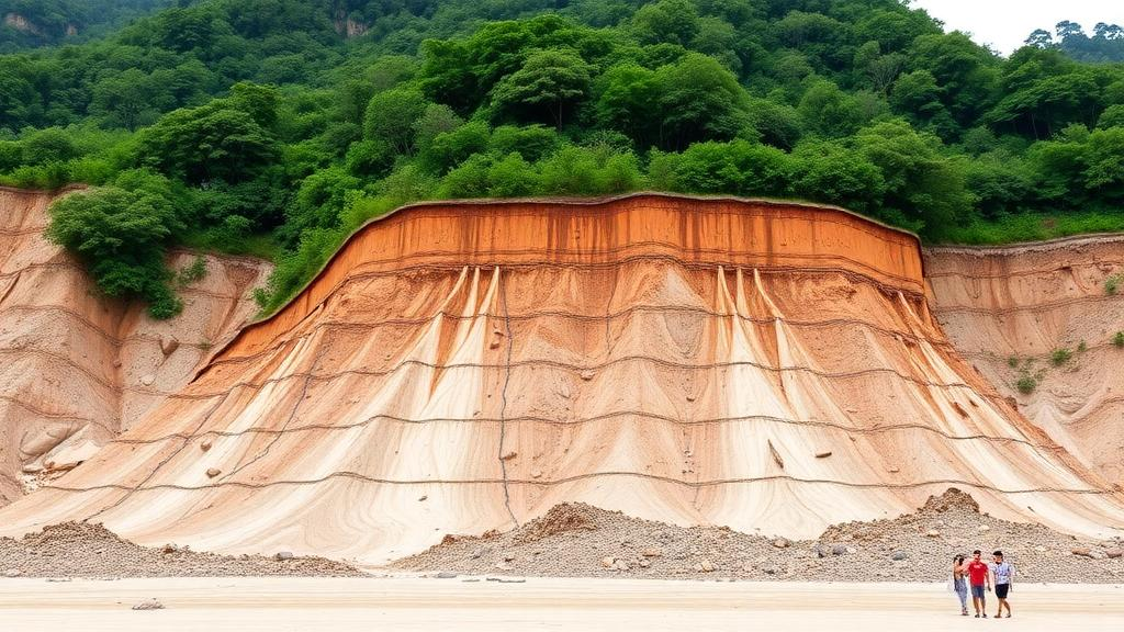
Landslides are among the most destructive natural hazards on Earth, and predicting where the next slope will fail has long been a central challenge for disaster scientists. Now, a research team led by Yusen Cheng of Xi’an Jiaotong-Liverpool University and the University of Liverpool has unveiled a new artificial intelligence framework that significantly sharpens the accuracy of landslide susceptibility maps, the tools that planners and governments rely on to identify danger zones before disaster strikes. The study, published in Discover Geoscience, demonstrates that teaching neural networks to combine two very different ways of seeing the landscape—one focused on a single point, the other on its surroundings—can push predictive performance to new heights.
Landslide susceptibility mapping, or LSM, is built on a deceptively simple premise: future landslides are more likely to occur under environmental conditions similar to those of past events. By analysing the relationships between historical landslide occurrences and conditioning factors such as topography, geology, vegetation, and rainfall, scientists can delineate zones of varying susceptibility across a region. Over the decades, the field has evolved from qualitative expert judgement through semi-quantitative statistical overlays to today’s data-driven machine learning approaches, which include logistic regression, support vector machines, random forests, and, more recently, deep learning architectures such as convolutional neural networks.
Yet even the most sophisticated convolutional networks have faced a fundamental dilemma in how they represent the landscape. Pixel-based models encode the geo-environmental characteristics of a specific landslide or non-landslide location but ignore the influence of the surrounding environment entirely. Patch-based models, by contrast, extract a square window of terrain around each point, capturing spatial context but inevitably including pixels with weak or no relevance to the target location. Worse, as successive convolution and pooling layers aggregate neighbourhood signals, the contribution of the central pixel—the very location whose fate the model is trying to determine—can become blurred or diluted, leaving the model overly influenced by irrelevant background features.
The new study resolves this tension with a strategy the authors call Local-Geo and Spatial Context Fusion, or LGSCF. The framework employs a dual-branch convolutional neural network design. One branch, the spatial-context branch, processes the full image patch surrounding a target location, learning neighbourhood morphology, slope continuity, and geomorphic patterns. The other, the local-geo branch, encodes a compact fifteen-dimensional vector describing the geo-environmental conditions at the central pixel itself—the precise location corresponding to a landslide or non-landslide label. Rather than simply concatenating these two streams of information, the researchers draw on a technique known as Feature-wise Linear Modulation, or FiLM, in which the local-geo representation generates scaling and shifting parameters that condition the spatial-context features.
This directional conditioning is what sets LGSCF apart from conventional fusion approaches. Because the two branches represent the same conditioning-factor data at different spatial scopes, they are not interchangeable modalities in the way that, say, optical and radar imagery might be. Instead, the characteristics of the central location determine how the surrounding context should be interpreted: similar neighbourhood patterns may carry entirely different implications under different topographic, geological, or hydrological settings. The multiplicative scaling strengthens or suppresses individual contextual responses, while the additive shift allows the fused representation to move beyond simple reweighting, giving the model an explicit mechanism to prioritise the features most predictive of slope failure.
To test the framework rigorously, the team selected a primary study area of approximately 2,644 square kilometres across Jenai and Sinyi Townships in Nantou County, central Taiwan—a region of steep slopes, complex geology, and monsoon-dominated rainfall where elevations range from around 20 metres in the western lowlands to nearly 3,800 metres in the eastern mountains. The dataset comprised 5,332 landslide points extracted from the 2022 Annual Landslide Inventory Map of Taiwan, produced through visual interpretation of SPOT satellite imagery, together with an equal number of carefully selected non-landslide samples drawn from zones of very low susceptibility using a frequency-ratio sampling strategy. Fifteen landslide conditioning factors, spanning topographic, geological, hydrological, surface environmental, and human-related controls, were resampled to a uniform 30-metre resolution, and each sample was organised into an 11-by-11-pixel image patch sized to match the average landslide extent.
By pairing three spatial-context branch architectures with three local-geo branch architectures, the researchers constructed nine different LGSCF-based models, each benchmarked against its single-branch baselines under identical training protocols, including exhaustive hyperparameter searches and eight repeated runs per configuration to guard against the luck of random initialisation. The results were striking: every LGSCF-based model outperformed its corresponding baselines, achieving F1-scores up to 87.09 percent and area-under-the-curve values up to 0.9472. The gains were most dramatic for the weaker pixel-based baselines, but even the strongest spatial-context networks showed steady improvements, demonstrating that the two branches supply genuinely complementary information rather than redundant detail.
The practical consequences for hazard mapping were equally compelling. On the resulting susceptibility maps, known landslides became far more concentrated in the very high susceptibility zones, with fewer misclassifications into lower categories. One combination, Model C plus N, placed 66.84 percent of landslides in the very high class, compared with roughly 46 to 55 percent for the baselines, while the combined share of landslides falling into the very low and low categories shrank to as little as about 5 percent. Interpretation using SHapley Additive exPlanations revealed that distance to faults, elevation, distance to rivers, slope, and rainfall consistently dominated the predictions across models, with fusion redistributing rather than replacing the contributions of these core factors.
Robustness checks reinforced the findings. In a five-fold spatial cross-validation, all nine LGSCF-based models achieved higher mean AUC values than their spatial-context baselines, with the best combination, Model B plus M, reaching a mean AUC of 0.9506, and seven of the nine improvements statistically significant at the five percent level. Crucially, an additional evaluation in Hualien County, an eastern coastal region with terrain and rainfall regimes distinct from inland Nantou, preserved the relative advantage of the framework: all nine LGSCF-based models again outperformed their baselines, suggesting the benefits are not an artefact of one particular landscape.
The authors are candid about the framework’s limitations. The individual contributions of the scaling and shifting components have not yet been isolated through ablation experiments, improvements over already-strong baselines can be modest, and both study areas lie within Taiwan, leaving broader geographical generalisation an open question. Uncertainties inherent to the field—patch-size selection, negative-sample strategies, and incomplete landslide inventories—also persist. Nevertheless, the message for practitioners is clear and actionable: existing CNN-based susceptibility models can be readily enhanced by incorporating the LGSCF strategy, offering a flexible, architecture-agnostic path toward more reliable maps of where the ground may give way next. As climate change and expanding development continue to destabilise slopes worldwide, tools that squeeze more signal from the same environmental data could prove invaluable for land-use planning and timely risk reduction.
Subject of Research: Deep learning-based landslide susceptibility mapping using local geo-environmental and spatial context fusion
Article Title: Synergising local geo-environmental characteristics with spatial context for enhancing landslide susceptibility mapping
Article References: Cheng, Y., Fan, L., Zhu, Q., Zhang, C., Li, Y., & Mahabir, R. (2026). Synergising local geo-environmental characteristics with spatial context for enhancing landslide susceptibility mapping. Discover Geoscience, 4(1), Article 388. https://doi.org/10.1007/s44288-026-00742-9
Image Credits: AI Generated
DOI: 10.1007/s44288-026-00742-9
Keywords: landslide susceptibility mapping, deep learning, convolutional neural networks, feature fusion, Taiwan, natural hazards, machine learning, FiLM, geospatial analysis, disaster risk reduction, SHAP interpretability, Nantou County
Cite Scienmag News
Violet Maxwell. (October 1, 2026). AI Learns to Read the Landscape: Dual-Branch Neural Networks Sharpen Landslide Predictions in Taiwan. Scienmag. https://scienmag.com/ai-learns-to-read-the-landscape-dual-branch-neural-networks-sharpen-landslide-predictions-in-taiwan/
Violet Maxwell. "AI Learns to Read the Landscape: Dual-Branch Neural Networks Sharpen Landslide Predictions in Taiwan." Scienmag, 1 October 2026, https://scienmag.com/ai-learns-to-read-the-landscape-dual-branch-neural-networks-sharpen-landslide-predictions-in-taiwan/. Accessed 4 October 2026.
Violet Maxwell. "AI Learns to Read the Landscape: Dual-Branch Neural Networks Sharpen Landslide Predictions in Taiwan." Scienmag. October 1, 2026. https://scienmag.com/ai-learns-to-read-the-landscape-dual-branch-neural-networks-sharpen-landslide-predictions-in-taiwan/


