


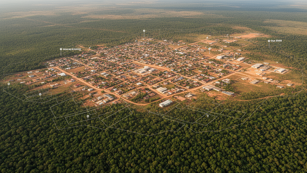
Built-up land in Oye-Ekiti, Nigeria, increased from 3.12 square kilometres in 1987 to 94.23 square kilometres in 2025, according to a geospatial study that assessed land-cover change, landscape structure and modeled urban growth. Over the same period, forest cover declined from 70.44 to 49.77 square kilometres, while cultivated land fell from 173.47 to 114.09 square kilometres. The researchers combined these observations with a Cellular Automata–Markov projection that estimates built-up land could reach 132.15 square kilometres by 2065.
The study examined the spatio-temporal dynamics of land use and land cover between 1987 and 2025, then developed a future scenario extending to 2065. Its framework integrated supervised image classification, Cellular Automata–Markov modeling, transition probability analysis and class-level landscape metrics. The land-cover and transition components reconstructed and modeled changes among land-use classes, while the landscape metrics examined the spatial arrangement of urban and natural patches, including their fragmentation and consolidation.
By 2025, built-up land represented 21.7% of the study area, up from 0.7% in 1987. Forest accounted for 11.4% in 2025, compared with 16.2% in 1987, and cultivated land declined from 39.9% to 26.2%. Transition probability analysis found that built-up land was strongly persistent, with a value of 0.8281, and identified substantial conversion of forest and rock outcrop into cultivated and urban land uses. The landscape metrics further indicated increasing fragmentation of natural land covers alongside progressive consolidation of urban patches. Together, these findings describe a long-term shift toward a larger, more consolidated urban footprint and a smaller, more fragmented share of natural cover.
The model projected that built-up land would expand to 132.15 square kilometres, or 30.4% of the study area, by 2065. It also projected forest cover to decrease to 41.94 square kilometres, representing 9.6% of the area. These future figures are model estimates rather than observed changes, and the supplied results do not provide a 2065 projection for cultivated land. By joining land-use transition modeling with landscape structure analysis, the study offers an integrated account of how Oye-Ekiti’s land-cover pattern changed from 1987 to 2025 and how urban expansion may continue through 2065. The results provide evidence for evaluating land-resource pressure, ecological consequences and landscape conservation challenges associated with urban growth.
Subject of Research: Geospatial assessment of urban growth, land-cover change and landscape fragmentation in Oye-Ekiti, Nigeria
Article Title: Integrating geospatial modelling and landscape metrics to assess urban growth dynamics in Oye-Ekiti, Nigeria
Article References: Salau, W. O., & Akinyemi, A. D. (2026). Integrating geospatial modelling and landscape metrics to assess urban growth dynamics in Oye-Ekiti, Nigeria. Discover Sustainability. https://doi.org/10.1007/s43621-026-04873-4
Image Credits: AI Generated
DOI: 10.1007/s43621-026-04873-4
Keywords: urban growth, Oye-Ekiti, Nigeria, geospatial modeling, land-cover change, landscape fragmentation, forest cover, Cellular Automata, Markov modeling, urbanization, Integrating, geospatial
Cite Scienmag News
Violet Maxwell. (October 20, 2026). Geospatial study maps urban growth and forest change in Oye-Ekiti. Scienmag. https://scienmag.com/geospatial-study-maps-urban-growth-and-forest-change-in-oye-ekiti/
Violet Maxwell. "Geospatial study maps urban growth and forest change in Oye-Ekiti." Scienmag, 20 October 2026, https://scienmag.com/geospatial-study-maps-urban-growth-and-forest-change-in-oye-ekiti/. Accessed 20 October 2026.
Violet Maxwell. "Geospatial study maps urban growth and forest change in Oye-Ekiti." Scienmag. October 20, 2026. https://scienmag.com/geospatial-study-maps-urban-growth-and-forest-change-in-oye-ekiti/


