


Geospatial Models Reveal Fire Impacts on Land Thermal Budgets
A new geospatial multi-modelling framework reveals how wildfires significantly alter land surface thermal budgets and threaten biophysical equilibrium across diverse ...
A new geospatial multi-modelling framework reveals how wildfires significantly alter land surface thermal budgets and threaten biophysical equilibrium across diverse ...

A case study of the Damiao–Hongshila belt shows geographically weighted models improve mineral prospectivity mapping under spatially non-stationary conditions.
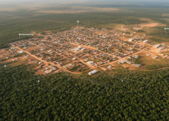
A geospatial study found that Oye-Ekiti’s built-up land expanded from 3.12 km² in 1987 to 94.23 km² in 2025 and ...
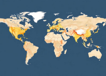
A validated climate–performance model and open-source geospatial tool reveal where solar-driven interfacial evaporation could supply drinking water for one billion ...
A new vertically augmented three-dimensional Empirical Bayesian Kriging framework reconstructs subsurface soil conditions with dramatically reduced error, cutting predictive error ...
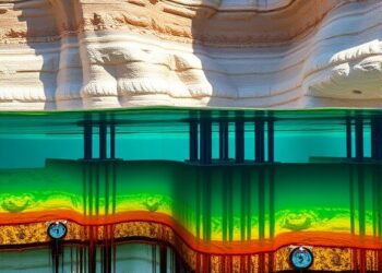
Researchers have developed and tested a new integrated framework for identifying where managed aquifer recharge (MAR) can safely and effectively ...


Embark on a thrilling journey of discovery with Scienmag.com—your ultimate source for cutting-edge breakthroughs. Immerse yourself in a world where curiosity knows no limits and tomorrow’s possibilities become today’s reality!