


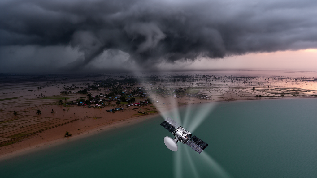
When a major cyclone tears into the coast of Bangladesh, the first hours and days after landfall are chaos. Roads are cut, power lines are down, and thick storm clouds blanket the entire region, blinding the optical satellites that disaster managers typically depend on. Now, a team of researchers at the University of Dhaka has demonstrated a way to cut through that cloud cover entirely, using radar signals bounced off the Earth’s surface to map cyclone damage with remarkable speed and precision. Their study, published in Natural Hazards and Earth System Sciences, analyzed five major cyclones that struck coastal Bangladesh between 2020 and 2024 and showed that a technique called interferometric coherence change detection can identify flooded fields, shredded vegetation, and damaged infrastructure with an overall accuracy of 94 percent.
The logic behind the approach is elegantly simple, even if the physics is not. Synthetic Aperture Radar, or SAR, is an active microwave instrument that illuminates the ground with radio waves and records both the strength of the returning echo and its phase, the precise position of the wave within its cycle. Each pixel in a SAR image is therefore a complex number containing amplitude and phase information. When two radar images of the same place, acquired at different times, are carefully aligned and compared, researchers can compute a quantity called coherence, a normalized measure ranging from 0 to 1 that expresses how similar the two radar returns are. A value close to 1 means the surface has remained stable between the two acquisitions; a value approaching 0 means something on the ground has changed so dramatically that the radar echoes no longer correlate at all.
Cyclones are superb generators of decorrelation. Flooding changes the dielectric properties of the soil, hurricanes strip leaves from mangroves and croplands, storm surges erode embankments, and collapsing buildings scramble the reflective geometry that produces strong radar returns. All of these processes drive coherence down. The challenge has always been separating cyclone-driven decorrelation from the natural background of change: soil drying after rain, seasonal vegetation growth, tidal movements in a delta, and ordinary agricultural activity. Earlier studies, the Dhaka team notes, typically relied on a single pre-event and post-event image pair, applied to one disaster and one location at a time. That made it nearly impossible to tell whether a coherence drop was truly catastrophic or merely routine fluctuation.
The new framework attacks that problem with statistics. For each of the five cyclones examined, Amphan (2020), Sitrang (2022), Mocha (2023), Hamoon (2023), and Remal (2024), the researchers assembled a time series of Sentinel-1 C-band radar images: three consecutive pre-event pairs to establish how much coherence naturally varies under normal conditions, one pair spanning the cyclone itself, and several post-event pairs to track recovery. The pre-event coherence layers were averaged pixel by pixel into a baseline, and the during-event coherence was compared against it. Instead of imposing a fixed numerical threshold, the team adopted an adaptive, event-specific criterion: any pixel whose coherence reduction exceeded the scene-wide average reduction was flagged as potential cyclone damage, while pixels showing smaller declines were treated as stable. Because coherence responds differently to mangroves, polders, villages, and open water, this adaptability proved essential across the heterogeneous deltaic landscape.
The temporal signal was strikingly consistent. In every one of the five events, mean coherence across the affected region traced a V-shaped pattern: a sharp decline during the cyclone, followed by a gradual rebound as floodwaters receded and vegetation regenerated. Cyclone Mocha produced the deepest drop, with mean coherence falling from roughly 0.37 before landfall to about 0.34 during the event, while Remal sank from approximately 0.31 to 0.27 and Amphan from about 0.34 to 0.29. Sitrang and Hamoon, weaker systems, showed shallower declines with correspondingly smaller damage footprints. Stronger cyclones, in other words, left deeper radar fingerprints, a relationship that gives coherence analysis genuine physical meaning rather than treating it as an abstract statistical artifact.
Translated into maps, those fingerprints told a detailed story of destruction. Remal (2024) produced the largest estimated damage extent, roughly 601 square kilometers, concentrated in the low-lying unions of Kalapara and Amtali where embankment failures caused prolonged waterlogging. Mocha affected approximately 474 square kilometers across Teknaf, Ukhia, and Maheshkhali in Cox’s Bazar, Amphan about 288 square kilometers across Satkhira and Khulna, Sitrang roughly 122 square kilometers near Chattogram, and Hamoon about 117 square kilometers around Kutubdia and Maheshkhali. The spatial patterns matched known landfall trajectories: Remal’s damage hugged the riverine southern coast, Hamoon’s impacts were localized along offshore islands with the eastern interior retaining high coherence, and Amphan devastated coastal polders and agricultural belts.
Critically, the team did not stop at damage detection. Using Sentinel-1 ground-range imagery processed in Google Earth Engine, they built independent inundation maps for each event by comparing median-composited images from before and during each cyclone, thresholding backscatter to identify water, and masking permanent water bodies so only newly flooded land remained. The resulting flood maps achieved 94.12 percent overall accuracy. When the two datasets were overlaid, the comparison proved illuminating: 78.85 percent of pixels inside mapped flood zones were also flagged as damaged by the coherence method, but a substantial 44.90 percent of pixels outside the flood extent showed coherence loss as well. That nearly 34 percentage point gap reveals what makes this technique genuinely powerful. Coherence detects not just flooding but wind-snapped trees, collapsed walls, eroded shorelines, and sediment redistribution, impacts that flood maps alone systematically miss.
Validation put the numbers to the test. For Cyclone Remal, the only event recent enough for direct fieldwork, the researchers selected 50 representative points from the damage map and visited them with GPS-enabled devices, photographing structural damage, vegetation loss, and flood impacts on the ground. The comparison between predicted and observed conditions yielded an overall accuracy of 94 percent and a kappa coefficient of 0.88, indicating strong agreement well beyond chance. For the four earlier cyclones, validation relied on secondary datasets and published damage assessments, an indirect approach the authors honestly flag as introducing uncertainty from spatial resolution differences, reporting bias, and temporal mismatch. A sensitivity analysis also showed that shifting the coherence threshold by 10 percent moved estimated damaged areas by roughly 13 to 27 percent in either direction, a reminder that threshold selection matters, particularly for smaller events like Sitrang and Hamoon.
The operational implications extend well beyond Bangladesh. Climate-related disasters cost the country an estimated 11.3 billion dollars in 2021, about 2.47 percent of its GDP, and roughly four tropical cyclones strike its coast in an average year. A cloud-independent method that can deliver a first-order damage assessment within 48 to 72 hours of landfall, using freely available Sentinel-1 data and open-source software like ESA’s SNAP toolbox, could transform how disaster agencies triage relief, route rescue teams, and target aid. The authors envision integrating the workflow into national GIS-based disaster management systems and humanitarian dashboards supporting joint needs assessments. They also point to the road ahead: fusing SAR with optical, LiDAR, and hyperspectral data, and building long-term coherence time series to better separate seasonal rhythms from genuine disasters. What once required weeks of cloud-waiting and dangerous ground surveys may soon be a matter of orbiting radar and a few days of computation, delivered while the floodwater is still receding.
Subject of Research: Coherence-based SAR remote sensing for mapping cyclone-induced surface damage in coastal Bangladesh
Article Title: Application of radar remote sensing for cyclone damage mapping in Bangladesh: a coherence-based approach
Article References: Prova, S. I., Sarker, M. S., Islam, R., & Mahfuz, R. I. (2026). Application of radar remote sensing for cyclone damage mapping in Bangladesh: a coherence-based approach. Natural Hazards and Earth System Sciences, 26(10), 5103-5118. https://doi.org/10.5194/nhess-26-5103-2026
Image Credits: AI Generated
DOI: 10.5194/nhess-26-5103-2026
Keywords: synthetic aperture radar, Sentinel-1, cyclone damage mapping, interferometric coherence, Bangladesh, flood mapping, disaster response, remote sensing, change detection, coastal hazards, Amphan, Remal
Cite Scienmag News
Violet Maxwell. (October 19, 2026). Radar Satellites Map Cyclone Destruction in Bangladesh Through the Clouds. Scienmag. https://scienmag.com/radar-satellites-map-cyclone-destruction-in-bangladesh-through-the-clouds/
Violet Maxwell. "Radar Satellites Map Cyclone Destruction in Bangladesh Through the Clouds." Scienmag, 19 October 2026, https://scienmag.com/radar-satellites-map-cyclone-destruction-in-bangladesh-through-the-clouds/. Accessed 19 October 2026.
Violet Maxwell. "Radar Satellites Map Cyclone Destruction in Bangladesh Through the Clouds." Scienmag. October 19, 2026. https://scienmag.com/radar-satellites-map-cyclone-destruction-in-bangladesh-through-the-clouds/


