


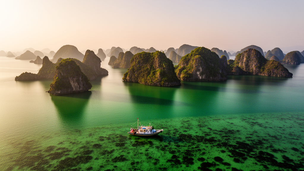
Some of Vietnam’s most important coral reefs have been hiding in plain sight. Now a research team has pulled them into focus from orbit, combining free satellite imagery with machine learning to produce the first high-accuracy distribution map of coral reef ecosystems in Bai Tu Long National Park, a protected archipelago in Quang Ninh Province that neighbors the famous Ha Long Bay. The study, published in the journal One Ecosystem, achieved an overall classification accuracy of 91.70 percent with a kappa coefficient of 0.89 — figures that place the map firmly in the high-reliability category for remote sensing work, and that could change how coastal managers across the region protect their most vulnerable marine habitats.
The stakes are considerable. Coral reefs are often called the tropical rainforests of the ocean, housing roughly a quarter of all marine biodiversity on an estimated one to nine million species, and supporting about a third of the world’s marine fish species. They buffer coastlines against storms, sustain fisheries that feed millions, and lock away carbon in their calcium carbonate skeletons and sediments. Yet they are also among the planet’s most imperiled ecosystems, battered by marine heatwaves, destructive fishing, coastal development and pollution. Conservation of any reef begins with a deceptively simple question: where exactly is it? For Bai Tu Long Bay, that question had never been answered at scale — studies of the bay’s wetland ecosystems were sparse in both number and scope, leaving park managers to make decisions about a critical resource they could not fully see.
The team’s approach leaned on two technologies that have transformed wetland science over the past decade. The first was Sentinel-2, the European Space Agency’s twin-satellite Earth observation mission, which images the entire land surface every five days at a resolution of 10 meters per pixel, free of charge. The researchers used four Sentinel-2 scenes captured on 5 March 2024, deliberately chosen for a period of stable tidal conditions that minimized water-level variations capable of distorting the spectral signatures of intertidal habitats. The images were stitched together and spectrally normalized before any interpretation began, ensuring that a given reflectance value meant the same thing across the whole bay.
The second technology was object-based image analysis, or OBIA, paired with a random forest machine-learning classifier. Traditional pixel-by-pixel classification struggles in coastal environments, where spatial heterogeneity and moisture produce spectral noise that scrambles results. OBIA sidesteps the problem by first grouping pixels into meaningful objects — using eCognition Developer 9.1 and its multi-resolution segmentation algorithm, tuned through sensitivity testing to a scale parameter of 10, a shape parameter of 0.1 and a compactness of 0.5 — and then classifying those objects with their spatial context intact. The random forest algorithm, configured after a five-fold cross-validation grid search with 500 trees and a maximum depth of 10, brought its well-documented strengths to the task: high accuracy on multidimensional data, resistance to overfitting, and interpretable measures of which features matter most.
Ground truth made the difference between a plausible map and a trustworthy one. Before classification, the team compiled 1,200 sample points across six ecosystem classes — coral reef, seagrass, tidal flat, sand, mangrove and open sea surface — drawing on bathymetric charts, Google Earth imagery and consultations with local fishermen and park staff to locate candidate sites. Diving and snorkeling surveys in April 2024, using GPS-tagged transects with points sampled every 50 meters, documented the substrate and benthic communities underwater. Three-quarters of the samples trained the classifier; the remaining 300 validated it, selected to span the full range of environmental conditions in the park and kept at least 50 meters from any training point to prevent spatial autocorrelation from inflating the accuracy figures.
The spectral physics behind the classification proved elegant. Coral reefs and seagrass beds reflected light most strongly in the blue band — a signature of clear water and the photosynthetic pigments in the zooxanthellae algae that live inside coral tissue — while tidal flats and sand peaked in the near-infrared, characteristic of exposed sediments and vegetation. Every class bottomed out in the SWIR1 and SWIR2 bands, where water absorbs incoming radiation almost completely. The team also computed a battery of spectral indices, from NDVI and SAVI for vegetation to NDWI for water delineation, and used the built-up-area indices NDBI and IBI to mask artificial structures such as docks and seawalls, ensuring the final map captured only natural features. The blue band’s importance for depth penetration and the SWIR band’s utility for cloud removal underscored why band selection was decisive for mapping submerged habitats.
The resulting map revealed 81.53 hectares of coral reef ecosystems across the park, concentrated along island edges at depths of one to five meters, where hard substrate, adequate light and moderate wave action converge. The pattern was not uniform. On the eastern side of the bay, where persistent wave energy pounds the shore, reefs grew elongated and narrow, with coral confined to sheltered pockets parallel to the shoreline — a testament to how many coral species cannot tolerate colonies being dislodged or recruitment being disrupted by heavy surf. The central and north-western areas, with flatter terrain and gentler seabed slopes, hosted the most diverse reefs, and the northern coast of Tra Ngo Island emerged as the park’s largest reef area with high biodiversity and favorable growth conditions.
Field surveys at six dive sites then put a biological face on the map: nine families, 20 varieties and 32 coral species, dominated by reef-building Acropora and Porites alongside notable soft corals. Da Ay Island stood out as the biodiversity champion, hosting 21 of the 32 recorded species and coral coverage of roughly 60 to 70 percent — the highest of any site — thanks to its sheltered location, flat seabed, optimal light penetration, low wave energy and comparatively light human impact. Vanh Island followed with 14 species, while the south-eastern tip of Ba Mun Island, hammered by waves and steep underwater slopes, recorded the lowest diversity at eight species. The park’s reefs support 68 species of reef fish, and Minh Chau Island’s intertidal zone serves as a key breeding ground for sea turtles, raising the conservation value of every hectare mapped.
Notably, the study found that Bai Tu Long’s coral diversity, while lower than equatorial hotspots such as Indonesia’s Bawean Island or Malaysia’s Sabah coast, exceeds that of other Vietnamese islands at similar latitudes, including Co To and Bach Long Vi. The researchers attribute this to latitude-driven constraints — cooler average water temperatures and wider seasonal swings — combined with storm damage, but credit the park’s relative protection from human pressures for its edge over comparable sites. The reefs there grow short and narrow, extending only to depths of seven to nine meters, limited by shallow seabeds and mud that creeps close to the island feet.
The method’s implications reach well beyond one bay. Because Sentinel-2 data is free and the OBIA-plus-random-forest workflow is replicable, the approach offers a cost-effective template for mapping shallow-water ecosystems across northern Vietnam and comparable subtropical coasts — a significant point for a country whose reefs face escalating thermal stress and development pressure. The authors are candid about the limitations: a single day of imagery cannot capture temporal change, and 10-meter resolution blurs complex reef structures that higher-resolution platforms like SPOT-6, RapidEye or WorldView would resolve. Future work, they argue, should move to time-series analysis, drone and high-resolution satellite data, and continued field validation. But the baseline now exists. Park managers know where 81.53 hectares of reef lie, which islands harbor the richest communities, and where protection and coral seed-source harvesting for micro-fragment culture should focus first — knowledge that turns satellite pixels into a working conservation strategy.
Subject of Research: Satellite-based mapping of coral reef distribution in Bai Tu Long National Park, Vietnam, using Sentinel-2 imagery, object-based image analysis and random forest machine learning
Article Title: Sentinel-2 satellite image application for establishing a coral reef distribution map in Bai Tu Long National Park, Quang Ninh Province, Vietnam
Article References: Ngo, D., Phung, G., Nguyen, H., & Hoang, D. (2025). Sentinel-2 satellite image application for establishing a coral reef distribution map in Bai Tu Long National Park, Quang Ninh Province, Vietnam. One Ecosystem, 10, Article e161208. https://doi.org/10.3897/oneeco.10.e161208
Image Credits: AI Generated
DOI: 10.3897/oneeco.10.e161208
Keywords: coral reefs, Sentinel-2, remote sensing, object-based image analysis, random forest, machine learning, Bai Tu Long National Park, Vietnam, wetland mapping, marine conservation, spectral indices, biodiversity
Cite Scienmag News
Margaret Porter. (October 17, 2026). Satellites and AI Map Hidden Coral Reefs in Vietnam’s Bai Tu Long Bay. Scienmag. https://scienmag.com/satellites-and-ai-map-hidden-coral-reefs-in-vietnams-bai-tu-long-bay/
Margaret Porter. "Satellites and AI Map Hidden Coral Reefs in Vietnam’s Bai Tu Long Bay." Scienmag, 17 October 2026, https://scienmag.com/satellites-and-ai-map-hidden-coral-reefs-in-vietnams-bai-tu-long-bay/. Accessed 17 October 2026.
Margaret Porter. "Satellites and AI Map Hidden Coral Reefs in Vietnam’s Bai Tu Long Bay." Scienmag. October 17, 2026. https://scienmag.com/satellites-and-ai-map-hidden-coral-reefs-in-vietnams-bai-tu-long-bay/


