


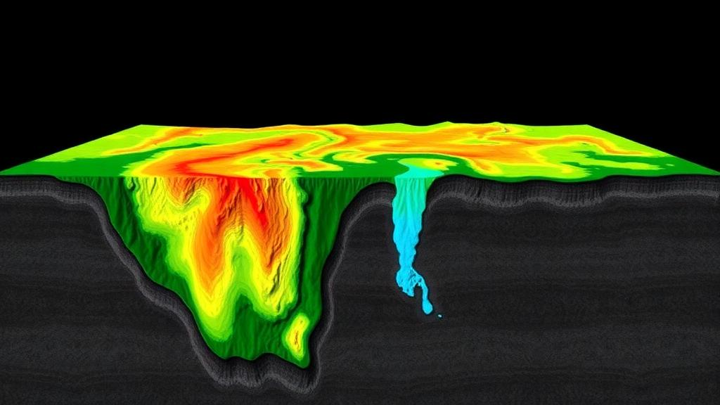
In the semi-arid heart of Maharashtra, India, the difference between a borewell that gushes and one that runs dry can come down to a few metres of fractured rock. Now, a team of hydrogeologists has shown that the two questions every water manager asks — where is groundwater stored, and where can rainwater actually be pushed back into the ground — do not have the same answer. Their study of the Moha-Karewadi area in Beed district, published in the journal Discover Geoscience, combines satellite-derived maps, hands-on infiltration testing and electrical probing of the subsurface to separate these two decisions in a way that could reshape how recharge structures are sited across hard-rock terrain.
The research, led by Taufique Warsi of the Raintree Foundation and the WOTR Centre for Resilience Studies, together with Siddhant Sanjay Sonde and George Biswas, focuses on roughly 32 square kilometres of the Deccan Traps, the vast stack of Late Cretaceous to Palaeocene basalt flows that underlies much of western and central India. The region endures hot, dry pre-monsoon months with summer temperatures approaching 42 degrees Celsius, and receives most of its roughly 737 millimetres of annual rainfall during the brief June-to-September monsoon. Water security here depends on percolation tanks and other recharge interventions, including one tank that was desilted during 2016 and 2017, making the careful placement of such structures a matter of practical urgency.
The core insight of the study is deceptively simple: a location can look perfect on a surface map and still be a poor place to sink water into the ground. In basaltic terrain, groundwater is stored and transmitted not through the rock matrix itself but through secondary porosity — weathered mantles, joints, fractures, vesicles and interflow zones. These productive zones are spatially discontinuous, and a successful borewell depends on the coincidence of recharge, storage and transmissive pathways rather than on rock type alone. A spot that scores highly on a surface-derived potential map may sit above compact, unfractured basalt that blocks downward percolation entirely.
To capture where groundwater is likely to occur, the team built a Groundwater Potential Zone map using seven thematic layers prepared in a geographic information system: drainage density, lineament density, slope, land use and land cover, lithology, soil and geomorphology. Each layer represents a first-order control on groundwater occurrence. Drainage density acts as an inverse indicator of infiltration opportunity, since dense stream networks shed water quickly. Lineaments — the surface traces of fractures and joints — signal potential permeability pathways. Slope controls the split between runoff and infiltration, while soil, geomorphology and lithology frame the storage and weathering conditions beneath. The layers were weighted using the Analytical Hierarchy Process, a structured decision method in which expert judgements are encoded in pairwise comparisons on a one-to-nine importance scale, and the resulting weights are checked for consistency. Only comparison matrices with a consistency ratio of 0.10 or below were accepted for the weighted overlay, a discipline the authors argue is often missing from local-scale mapping studies.
The results show just how restricted productive groundwater really is in this landscape. The very high potential class covers only about 2.07 percent of the mapped area, with the high class adding another 8.28 percent. These favourable pockets cluster where low-lying geomorphic positions, low drainage density, higher lineament density and suitable lithology coincide — typically pediment-pediplain surfaces and areas near ponds and water bodies, rather than the dissected structural plateaus that dominate about 2,530 hectares of the terrain. For a dissected basaltic landscape, the authors note, this limited extent is hydrogeologically reasonable: productivity is controlled by localised weathering and fracture networks, not by broad regional patterns.
For the second map, the Groundwater Recharge Zone, the team added something most mapping studies leave out: actual measurements of how fast water soaks into the soil. Using a double-ring infiltrometer, with inner and outer rings held at an equal head of roughly 10 to 15 centimetres to suppress lateral leakage, the researchers ran tests lasting two to four hours at sites within the study area and recorded the near-steady infiltration rate, defined as the mean of the final three valid readings. The audited values span a remarkable range, from about 8.41 to 168.88 millimetres per hour across tank beds and downstream settings, reflecting differences in soil texture, clay content, silt accumulation and geomorphic position. Low rates were associated with waterlogging and clayey or silty surfaces, while higher rates occurred in more permeable pediment settings. Notably, the team refused to treat repeated time-step readings within a single test as independent data points, avoiding the statistical trap of pseudo-replication, and declined to use inferential significance testing where class membership was incomplete — a conservative stance that lends the maps credibility.
When the measured infiltration layer was folded into a second AHP model, the picture changed. Very high recharge suitability covers about 8.86 percent of the area — more than four times the extent of very high groundwater potential — and occurs mainly where favourable geomorphology, low drainage density, high lineament density and high infiltration capacity coincide. Low and very low recharge classes dominate the rest of the landscape. The mismatch between the two maps is the study’s central message: groundwater occurrence and recharge acceptance are related but non-equivalent decisions, and conflating them risks placing recharge structures where water cannot enter, or borewells where water cannot be found.
The third strand of evidence came from below the surface. The team conducted eight Schlumberger vertical electrical soundings, injecting current through outer electrodes and measuring the potential difference between inner ones to calculate apparent resistivity, which was then modelled as one-dimensional layered profiles and assembled into pseudo-sections and geoelectric sections. The soundings revealed a consistent architecture: shallow weathered and fractured basalt near the tanks, commonly within about 7 to 10 metres below ground level, underlain locally by compact, resistive basalt extending to depths of roughly 30 metres or more. Around Karewadi, one section also hinted at a deeper fractured or permeable zone between about 10 and 50 metres toward the northeast. The interpretation was deliberately hydrogeological rather than purely colour-based, weighing resistivity magnitudes against curve shapes, depth continuity and field geological context — a caution the authors stress is essential, since conductive anomalies in Deccan basalt are not automatic proof of aquifer productivity.
The practical implications are concrete. Artificial recharge, the authors argue, should never be placed on surface suitability alone. Priority locations are those where moderate to high infiltration, gentle slopes and low drainage density, lineaments or weathered zones providing storage and transmissivity, and an absence of compact basalt barriers all overlap. In Moha, high infiltration near tank-associated surfaces signals genuine recharge opportunity, but the soundings show compact basalt beneath the shallow weathered material, so interventions should be designed to enhance shallow storage rather than assume unlimited deep percolation. Low-infiltration areas are not hopeless — desiltation, surface treatment, farm ponds and check structures can improve them — but they demand site-specific engineering rather than blanket classification as favourable.
More broadly, the workflow offers a transparent, field-constrained screening tool for the countless data-limited hard-rock watersheds where managed aquifer recharge is being promoted as a climate adaptation strategy. The authors are careful about its limits: final site selection should still incorporate site-wise infiltration data, well-yield observations and repeated water-level monitoring where available. But by insisting that potential and recharge be mapped separately, validated against independent physical evidence, and reconciled before any structure is built, the study sets a standard that could save communities across the Deccan and similar terrains worldwide from expensive wells that run dry and tanks that never fill.
Subject of Research: Groundwater potential and recharge zoning in semi-arid Deccan basalt terrain using GIS-based AHP, infiltration testing and vertical electrical soundings
Article Title: Groundwater potential and recharge zoning in semi-arid Deccan basalt using AHP, infiltration testing and VES
Article References: Warsi, T., Sonde, S. S., & Biswas, G. (2026). Groundwater potential and recharge zoning in semi-arid Deccan basalt using AHP, infiltration testing and VES. Discover Geoscience, 4(1), Article 382. https://doi.org/10.1007/s44288-026-00756-3
Image Credits: AI Generated
DOI: 10.1007/s44288-026-00756-3
Keywords: groundwater, Deccan Traps, AHP, infiltration rate, vertical electrical sounding, managed aquifer recharge, hydrogeology, Maharashtra, semi-arid, GIS mapping, basalt aquifer, recharge zoning
Cite Scienmag News
Violet Maxwell. (October 1, 2026). Where Water Can Hide and Where It Can Sink: New Maps Untangle Groundwater in India’s Deccan Basalt. Scienmag. https://scienmag.com/where-water-can-hide-and-where-it-can-sink-new-maps-untangle-groundwater-in-indias-deccan-basalt/
Violet Maxwell. "Where Water Can Hide and Where It Can Sink: New Maps Untangle Groundwater in India’s Deccan Basalt." Scienmag, 1 October 2026, https://scienmag.com/where-water-can-hide-and-where-it-can-sink-new-maps-untangle-groundwater-in-indias-deccan-basalt/. Accessed 1 October 2026.
Violet Maxwell. "Where Water Can Hide and Where It Can Sink: New Maps Untangle Groundwater in India’s Deccan Basalt." Scienmag. October 1, 2026. https://scienmag.com/where-water-can-hide-and-where-it-can-sink-new-maps-untangle-groundwater-in-indias-deccan-basalt/


