


Togo Coastal Study Maps Urban Erosion Vulnerability
A study in Discover Sustainability assesses coastal erosion vulnerability in eastern Togo, finding moderate overall risk with Section 1 identified ...
A study in Discover Sustainability assesses coastal erosion vulnerability in eastern Togo, finding moderate overall risk with Section 1 identified ...

A new study in Geoenvironmental Disasters applies multivariate statistical methods to map landslide susceptibility in Yilan County, Taiwan, identifying slope ...

A study in Applied Water Science evaluates drinking water management in hyper-arid Iran, proposing a household-level dual distribution network to ...

A bibliometric analysis of 3,001 Web of Science articles shows sustainability-oriented multi-criteria decision-making research grew about 25 percent annually from ...
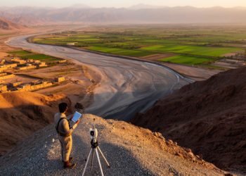
A remote sensing and multi-criteria modeling study mapped groundwater recharge potential across Pakistan's Pishin River Basin, with the fuzzy AHP ...
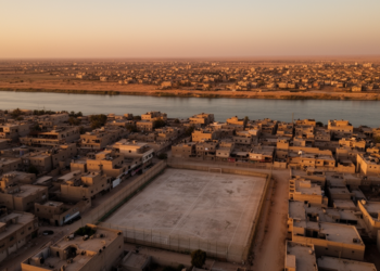
A GIS-based multi-criteria study of Ramadi District found that over 95% of its 46 sports complexes sit in urban areas, ...

A coupled WEAP and multi-criteria decision-making study of Iran's proposed Doogh to Gorganrud water transfer identifies a moderate 0.91 cubic ...
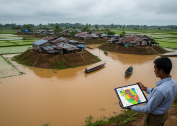
An AHP-GIS study of Sunamganj district in Bangladesh finds that roughly 37 percent of the area falls within high or ...

A study of the Lobo district in central Cameroon combined GIS-based spatial modeling with vertical electrical soundings to map groundwater ...

A new quantitative study finds Iran ranks second globally in gas reserves and third in production, yet faces a widening ...


Embark on a thrilling journey of discovery with Scienmag.com—your ultimate source for cutting-edge breakthroughs. Immerse yourself in a world where curiosity knows no limits and tomorrow’s possibilities become today’s reality!