


Two Mapping Models Chart Landslide Danger Across Northwestern Ethiopian Highlands
The first landslide susceptibility maps for Ethiopia's Telemt, Janamora, and Beyeda districts, built with AHP and Frequency Ratio models, flag ...
The first landslide susceptibility maps for Ethiopia's Telemt, Janamora, and Beyeda districts, built with AHP and Frequency Ratio models, flag ...

An expert-data AHP-cloud case study rated AI development in Yangtze River Delta construction cost management as average overall, with organizational ...
A spherical fuzzy DEMATEL–AHP study of ten internationally mobile professionals finds that economic attractiveness ranks first in stated importance but ...

An integrated Delphi, AHP and DEMATEL study of Vietnam's tourism governance reveals that stakeholder importance and directional influence diverge sharply ...

A systematic review of 39 studies finds that most vineyard land suitability assessments still rely on historical climate data, with ...
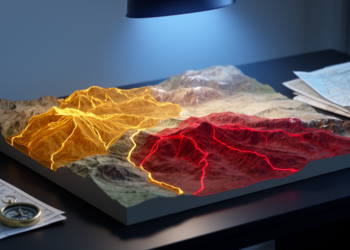
Researchers combined GIS and the Analytic Hierarchy Process to map earthquake risk in Turkey's Çemişgezek District, finding that danger concentrates ...

A new GIS-based framework in Saudi Arabia's Al-Qassim region maps where solar, wind, and hybrid renewable energy zones align or ...
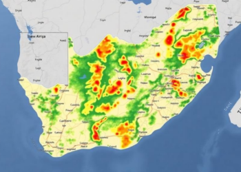
A new GIS-based study in South Africa's Bushveld Igneous Complex found that Fuzzy Logic modelling outperformed both expert-driven AHP and ...

Researchers have mapped groundwater potential across Uttarakhand's rapidly urbanising Soar Valley using an integrated AHP-GIS framework validated against 91 spring ...
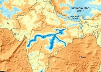
Researchers in Maharashtra combined GIS mapping with conventional and fuzzy multi-criteria methods to delineate groundwater potential zones in drought-prone Baramati ...


Embark on a thrilling journey of discovery with Scienmag.com—your ultimate source for cutting-edge breakthroughs. Immerse yourself in a world where curiosity knows no limits and tomorrow’s possibilities become today’s reality!