

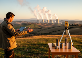
Italy Maps Its Geothermal Potential Beyond the Volcanic Heartland
A new national assessment identifies 27 geothermal plays across Italy and finds major potential in sedimentary basins beyond the traditional ...
A new national assessment identifies 27 geothermal plays across Italy and finds major potential in sedimentary basins beyond the traditional ...

Machine learning models far outperformed expert-weighted AHP in mapping landslide susceptibility along a 123 km Himalayan highway corridor in Arunachal ...
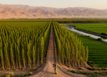
A complete census of 16,250 poplar plantation sections in Gilan Province, Iran, recorded 12,179 hectares, nearly 13.9 million trees and ...

A new GIS-based study of Delhi mapped 1,167 urban waterbodies and found that only 212, about 18 percent, have terrain ...
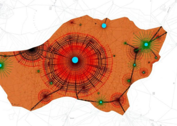
A new study combining GIS-based modeling with the Evidential Belief Function method maps groundwater potential across Kabul's stressed shallow aquifer ...
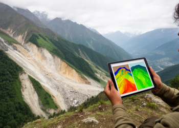
A GIS-based frequency-ratio model using 14 environmental and hydrometeorological factors achieved an AUC of 0.876 for landslide susceptibility in Pithoragarh, ...
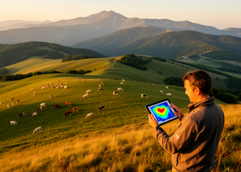
A field protocol used 2023 municipal records, farmer interviews and GIS mapping to estimate cattle, sheep, goat and horse density ...
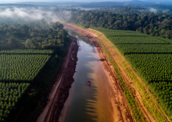
A field survey and GIS analysis found low tree diversity and industrial plantation encroachment in riparian areas of a protected ...

A short-term measurement study at Batman University found outdoor 10-minute noise levels ranging from 20.00 to 88.58 dB(A) and used ...
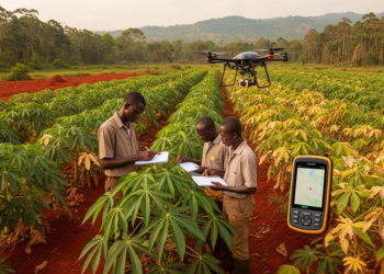
A survey of 276 Sierra Leonean farms mapped widespread cassava diversity, regionally variable pest pressure and cassava mosaic disease associated ...


Embark on a thrilling journey of discovery with Scienmag.com—your ultimate source for cutting-edge breakthroughs. Immerse yourself in a world where curiosity knows no limits and tomorrow’s possibilities become today’s reality!