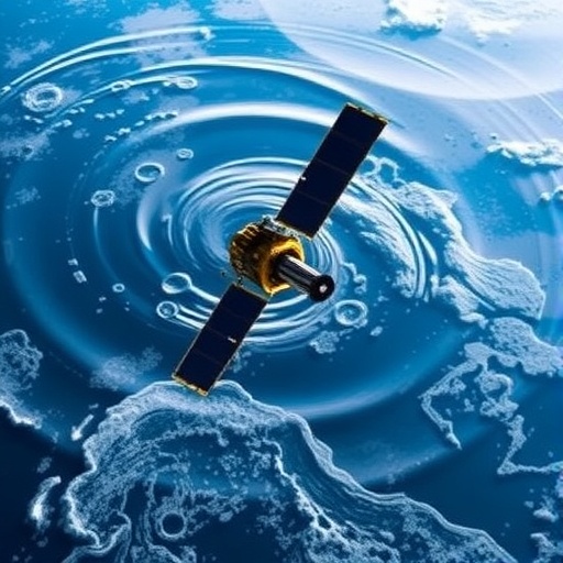
Rivers serve as the lifeblood of our planet, weaving through landscapes and ecosystems while sustaining human civilizations. Despite their critical importance, many rivers remain under-studied, often due to the difficulties presented by their accessibility and variability. Small streams can be intermittent and unpredictable, sometimes disappearing for months or even years. This presents a formidable challenge for hydrologists and environmental scientists tasked with understanding these dynamic systems and their impact on water resources. Now, cutting-edge satellite remote sensing technology is revolutionizing how researchers monitor and analyze river health and water quality on a global scale.
Professor Dongmei Feng of the University of Cincinnati is at the forefront of this emerging discipline. Specializing in hydrological modeling and remote sensing, Feng recognizes that satellite data offers an unprecedented opportunity to observe rivers wherever they flow, even those in remote or inaccessible regions. Through spectral analysis of satellite imagery, scientists can detect changes in water quality and identify key pollutants, nutrients, and biological stressors that are difficult to measure through traditional fieldwork alone. This technology enables continuous and comprehensive monitoring, which is essential in managing freshwater resources sustainably.
The article recently published in Nature Water by Feng and her international collaborators underscores the importance of a holistic yet detailed approach to river science. By combining systematic review techniques with satellite-based observations, the researchers advocate studying rivers both individually and collectively. Each river exhibits a unique combination of climatic conditions, geographical features, and human impacts, which influence its health and quality. Understanding these nuances at multiple scales is crucial for predicting the rivers’ response to environmental pressures and human activities.
Rivers are not isolated entities; they are integral to planetary processes, acting as conduits connecting terrestrial landscapes with oceans and the atmosphere. The sediment and nutrients transported from rivers to estuaries serve as essential nourishment for diverse marine ecosystems. Estuaries themselves act as critical breeding grounds and nurseries for countless marine species, making the health of upstream river systems vital to ocean biodiversity. Satellite remote sensing provides a powerful lens through which to monitor these interactions in near real-time with astonishing spatial coverage.
One of the most pressing global environmental concerns linked to river systems is nutrient pollution, which frequently leads to harmful algal blooms. These blooms, fueled by excess nitrogen and phosphorus from fertilizer runoff and sewage discharge, pose severe risks to public health and aquatic ecosystems. Professor Feng’s ongoing research, supported by a substantial grant from the National Science Foundation, aims to unravel nutrient dynamics over the past five decades across multiple rivers worldwide. This extensive historical analysis is anticipated to improve early warning systems, allowing water managers to preemptively respond to developing algal blooms before they reach toxic levels.
The biogeochemical cycles underlying these nutrient movements involve complex feedback mechanisms. Algal blooms block sunlight from penetrating the water column, suffocating submerged vegetation that supports aquatic life. Upon decomposition of the dead algae, oxygen levels in the water plummet, creating ‘dead zones’ where fish and other organisms cannot survive. This process, known as eutrophication, exemplifies how human-induced nutrient loading can trigger cascading ecological failures. Understanding and modeling this cycle is critical for devising targeted mitigation strategies.
Satellite technology, combined with sophisticated computer modeling, is revolutionizing the ability to track water quality parameters such as turbidity, chlorophyll concentration, and dissolved organic matter with unprecedented precision. Dr. Xiao Yang from Southern Methodist University highlights how spectral signatures obtained from satellites can differentiate among various pollutants and ecological indicators. This technological advancement enables continuous global surveillance and geographically detailed water quality assessments that were not feasible before.
The applications of these remote sensing tools extend beyond academic research; they have real-world implications for managing urban infrastructure and protecting public health. Cities that rely heavily on river water for drinking need accurate and timely data to prevent toxic algal contaminants from entering treatment plants. Given that around 90% of the world’s population lives within six miles of a river, technological breakthroughs in monitoring river systems have direct societal benefits, including safeguarding drinking water, supporting recreational activities, and preserving biodiversity.
Moreover, this satellite-enabled river science promises to illuminate previously hidden aspects of hydrological variability and change. By tracking fluctuations in river flow and quality across diverse climatic zones, researchers hope to better understand how climate change will impact freshwater availability and ecosystem services. The integration of historical datasets with contemporary remote sensing observations offers a pathway to predictive models that inform adaptation and conservation efforts worldwide.
The multidisciplinary collaboration evident in Feng’s study incorporates expertise from hydrology, environmental engineering, satellite physics, and data science. Such integrative research approaches are becoming increasingly necessary to tackle complex environmental challenges that span geographic and disciplinary boundaries. The comprehensive global perspective championed in this research paves the way for a new era of river science, where policy decisions and resource management are underpinned by data-driven insights and continuous observation.
As research progresses, the challenge will be to translate these tremendous amounts of data into actionable knowledge. This entails developing user-friendly platforms for water managers and policymakers to interpret satellite-derived information effectively. Ensuring accessibility while maintaining scientific rigor requires ongoing innovation in data analytics and communication. Nonetheless, the promise of these technological tools to safeguard freshwater resources against pollution and ecological degradation has galvanized the scientific community and stakeholders alike.
In conclusion, the integration of satellite remote sensing into river science marks a transformative advancement in understanding and managing one of Earth’s most essential natural resources. Pioneered by experts such as Professor Dongmei Feng, this approach enables scientists to overcome traditional barriers to studying rivers, track nutrient pollution trends, and predict ecological threats such as toxic algal blooms. As the global population continues to grow and climate change accelerates, technologies that provide real-time, global-scale insights into river ecosystems are indispensable for sustainable water management and environmental protection.
Subject of Research: Hydrology, water quality control, and nutrient dynamics in rivers using satellite remote sensing technology.
Article Title: Remote sensing and the new global river science
News Publication Date: 17-Jun-2026
Web References: DOI: 10.1038/s44221-026-00665-2
Image Credits: Andrew Higley
Keywords: Hydrology, Water quality control, Sewage treatment, Water delivery, Environmental engineering, Natural resources management, Pollution control
