

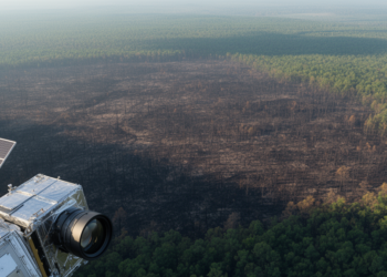
Faster Radar or Sharper Optics: Rethinking Satellite Burn-Severity Mapping
A study of 9,129 North American wildfires finds that radar delivers the fastest post-fire satellite imagery while multispectral sensors map ...
A study of 9,129 North American wildfires finds that radar delivers the fastest post-fire satellite imagery while multispectral sensors map ...
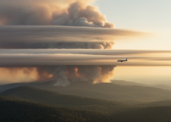
Researchers introduced TRAILS, a framework that combines satellite observations with trajectory modeling to dynamically attribute long-range transported wildfire smoke by ...
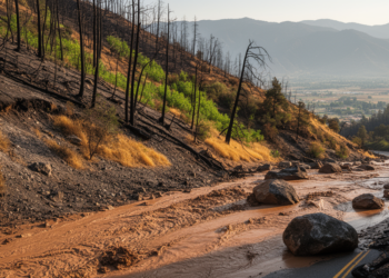
A four-year study of California's 2020 Lake Fire shows that post-fire debris flow risk swings dramatically between wet and dry ...


Embark on a thrilling journey of discovery with Scienmag.com—your ultimate source for cutting-edge breakthroughs. Immerse yourself in a world where curiosity knows no limits and tomorrow’s possibilities become today’s reality!