


Free satellite terrain maps falter on Malawi’s steep highlands
A study of Malawi's terrain found SRTM and NASADEM performed similarly nationwide, with errors rising sharply in highland areas.
A study of Malawi's terrain found SRTM and NASADEM performed similarly nationwide, with errors rising sharply in highland areas.
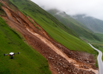
A study in Watauga County, North Carolina, shows that blending three freely available 30-meter elevation models with machine learning can ...

A machine learning framework combining satellite radar, optical, elevation and rainfall data mapped flood inundation across Mumbai, with hydrologic predictors ...
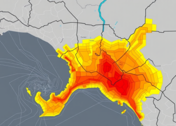
Researchers fused morphometric basin analysis with machine learning to map flood susceptibility across four Bayelsa State catchments, revealing hidden high-risk ...


Embark on a thrilling journey of discovery with Scienmag.com—your ultimate source for cutting-edge breakthroughs. Immerse yourself in a world where curiosity knows no limits and tomorrow’s possibilities become today’s reality!