


Spatial indicators reveal hidden ecosystem services in Hungarian pondscapes
A proxy-indicator framework using freely available spatial data maps habitat, recreation and aesthetic services across 25 Hungarian fishpond complexes, revealing ...
A proxy-indicator framework using freely available spatial data maps habitat, recreation and aesthetic services across 25 Hungarian fishpond complexes, revealing ...
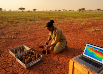
Researchers have produced the first validated map of soil organic carbon stocks across Sudan's Blue Nile clay plains using regression ...
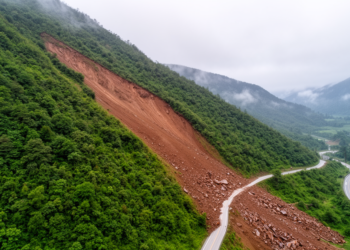
A Chinese team adapted a real-time detection transformer with focused distillation, stride-4 supervision, and fine-resolution decoder memory to find sparsely ...

Beneath every agricultural field lies a bustling miniature metropolis, home to billions of tiny creatures that most people never see. ...

Sesame, often called the "Queen of Oilseeds," has been quietly undergoing a transformation in India that few consumers ever notice. ...

The first-ever population census of California's coastal dune trapdoor spiders estimates more than 66,000 individuals across two state beaches — ...

Spatial NT-seq combines metabolic RNA labeling with in situ chemical recoding to co-map newly synthesized and pre-existing RNAs, revealing the ...

A 64-year study of the Yellow River Basin reveals that precipitation extremes are intensifying, concentrating, and reorganizing in three fundamentally ...

A large-scale survey using the ANOSPP amplicon panel uncovered 15 Anopheles species and five Plasmodium species across Tanzania, including the ...
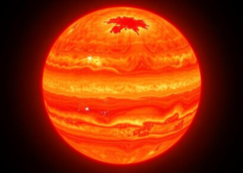
Using a novel transmission strings technique with JWST data, astronomers have mapped the atmospheric limb of the hot Jupiter WASP-17 ...


Embark on a thrilling journey of discovery with Scienmag.com—your ultimate source for cutting-edge breakthroughs. Immerse yourself in a world where curiosity knows no limits and tomorrow’s possibilities become today’s reality!