


As a Chinese Lake Shrinks, Its Wetlands Are Quietly Leaking Carbon
A four-decade study of China's Daihai Lake reveals that wetland loss driven by shifting climate, terrain, and human pressures has ...
A four-decade study of China's Daihai Lake reveals that wetland loss driven by shifting climate, terrain, and human pressures has ...

A two-decade satellite analysis of Yalova, Türkiye, shows built-up land surging 138 percent and projects an elevenfold expansion of extreme ...
A new study shows that a simple conceptual hydrological model driven entirely by satellite and reanalysis data can outperform more ...
Newly released TreeMap datasets for 2020, 2022, and 2023 deliver 30-meter, tree-level maps of every forest in the contiguous United ...

A new InSAR study of southwestern Cyprus shows that active landslides in weak fine-grained rocks move fastest and that rainfall ...
A four-decade study in northern Spain shows that widely used land cover maps like CORINE and SIOSE introduce scale-dependent errors ...
A 34-year satellite analysis shows Dhaka's built-up area nearly tripling as vegetation and water vanished, driving 70 percent of the ...
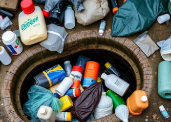
A study of disadvantaged communities in Salvador, Brazil, identifies open sewers, household garbage, and open plastic containers as the dominant ...
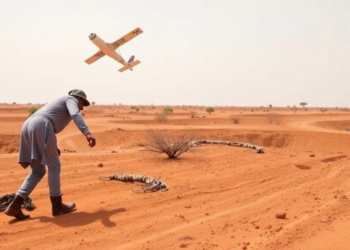
By fusing Landsat 9 satellite imagery with field mapping and petrography, geologists have produced the first mineral exploration map of ...
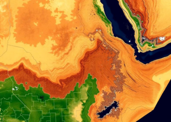
A new satellite-based study combining MODIS, SMAP and CHIRPS data shows that drought affected more than 65 percent of Guba ...


Embark on a thrilling journey of discovery with Scienmag.com—your ultimate source for cutting-edge breakthroughs. Immerse yourself in a world where curiosity knows no limits and tomorrow’s possibilities become today’s reality!