

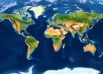
Sinking Cities Mapped From Space: Global Radar Survey Reveals Where the Ground Is Falling
A decade of satellite radar data reveals that land subsidence is widespread across 465 major cities worldwide, with hotspots in ...
A decade of satellite radar data reveals that land subsidence is widespread across 465 major cities worldwide, with hotspots in ...
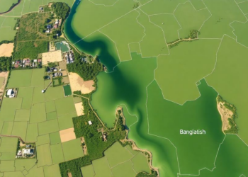
An integrated satellite, GIS, and multi-criteria analysis has mapped groundwater potential across Bangladesh's largest inland wetland, revealing that only one ...

Egyptian researchers have built a hybrid Vision Transformer and CNN framework with spectral band selection that outperforms few-shot learning methods ...
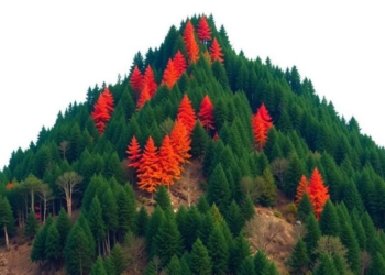
A Random Forest model built on satellite fire records shows that nearly 30 percent of forest in Nepal's mountainous Rasuwa ...

A new global analysis shows that forest fragmentation raises land surface temperatures across most forest biomes, often mattering more for ...

A two-decade satellite analysis of 100 global cities shows that losing water bodies and expanding impervious surfaces amplify urban extreme ...

A solar-powered autonomous vessel equipped with AI has demonstrated near-real-time water quality monitoring across a 10-kilometer route in Brazil's Belo ...

A new study of Coimbatore, India, combining Landsat satellite data with the InVEST Urban Cooling Model, finds summer land surface ...
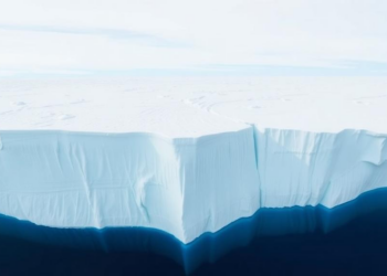
An eight-year satellite study of East Antarctica's Nivlisen Ice Shelf reveals meltwater rivers that swell, connect and vanish with the ...

Researchers have unveiled STAR-OV, a framework that protects deep learning models deployed on satellites through two-stage reversible parameter encryption, tiered ...


Embark on a thrilling journey of discovery with Scienmag.com—your ultimate source for cutting-edge breakthroughs. Immerse yourself in a world where curiosity knows no limits and tomorrow’s possibilities become today’s reality!