

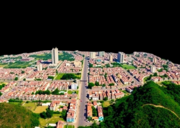
Satellite Record Shows Dehradun’s Built-Up Area Soared 140% in Two Decades
A two-decade satellite analysis of Dehradun shows built-up area growing nearly 140 percent while groundwater quality, air quality, and waste ...
A two-decade satellite analysis of Dehradun shows built-up area growing nearly 140 percent while groundwater quality, air quality, and waste ...

A remote sensing and machine learning study of Poyang Lake reveals that extreme precipitation drives wetland plant diversity through scale-dependent ...
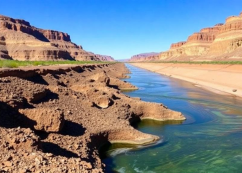
New Virginia Tech research combining NASA GRACE satellite data with hydrologic estimates shows that the Colorado River Basin's Upper Basin, ...
A new satellite-based cross-border study shows that nearly 90 per cent of mapped Alpine peatlands in Austria, Germany and Switzerland ...
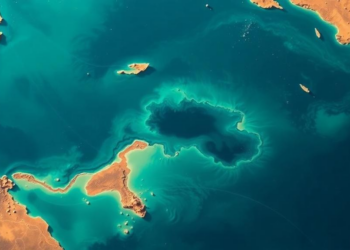
Egyptian researchers used Landsat 8 imagery and machine learning to map the bathymetry of Manzala Lagoon with centimeter-level accuracy, identifying ...
A new 30-meter-resolution annual dataset shows China's forest trees rose from about 106 billion to 182 billion between 1985 and ...
A 2020 glacial lake outburst flood in southeastern Tibet abruptly severed Jinwu Glacier's contact with its lake, slowing the ice ...
A new GIS-based study maps groundwater potential across Brazil's semi-arid Grande River Basin, revealing that the most favorable recharge zones ...
A new study in Argentina's Monte desert shows that whether pixel-based or object-based satellite classification works best for detecting open ...
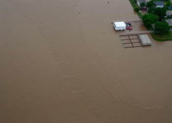
A systematic review of 190 studies finds that integrated geospatial, meteorological, hydrological and AI-based approaches are transforming flood risk assessment, ...


Embark on a thrilling journey of discovery with Scienmag.com—your ultimate source for cutting-edge breakthroughs. Immerse yourself in a world where curiosity knows no limits and tomorrow’s possibilities become today’s reality!