

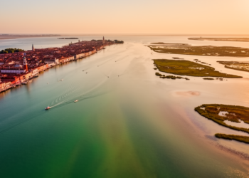
Satellite Colour Maps Reveal Venice Lagoon Salinity Through CDOM Optical Proxy
A new satellite method uses CDOM optical signatures from Sentinel-3 imagery to map salinity across the Venice Lagoon, offering a ...
A new satellite method uses CDOM optical signatures from Sentinel-3 imagery to map salinity across the Venice Lagoon, offering a ...
A major review shows how AI, sensors, satellite and drone imaging, digital twins and field robots are converging to cut ...
Researchers introduced TRAILS, a framework that combines satellite observations with trajectory modeling to dynamically attribute long-range transported wildfire smoke by ...
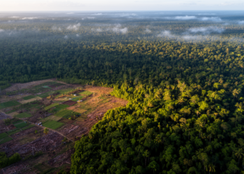
The first high-resolution global maps of forest edge dynamics reveal a 24 million kilometer decline in edge length from 2000 ...
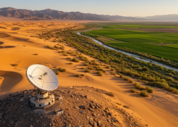
A 33-year Landsat analysis shows vegetation cover in arid northwestern China slowly increasing, with extreme drought driving sharp declines and ...
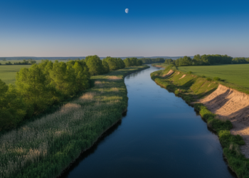
Canadian researchers have trained a multi-view convolutional neural network to assess riparian buffer strip quality directly from high-resolution satellite imagery, ...
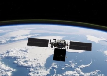
A yearlong Stanford-led experiment with 481 controlled methane releases found that dedicated methane-detecting satellites correctly identified nearly all plumes on ...
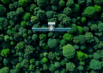
By fusing L-band radar from ALOS-2 with Sentinel-2 optical data and a weighted machine learning ensemble, researchers have mapped above-ground ...
Researchers in Iran combined Sentinel-2 satellite data, hybrid machine learning, and game theory to rank groundwater quality parameters, finding that ...
A three-decade satellite-based assessment reveals that vegetation condition and annual precipitation are the dominant drivers of landscape ecological risk in ...


Embark on a thrilling journey of discovery with Scienmag.com—your ultimate source for cutting-edge breakthroughs. Immerse yourself in a world where curiosity knows no limits and tomorrow’s possibilities become today’s reality!